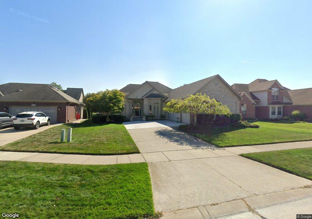
20422 Bannister Dr Macomb, MI 48044
Estimated Value: $465,562 - $549,000
--
Bed
1
Bath
2,267
Sq Ft
$221/Sq Ft
Est. Value
About This Home
This home is located at 20422 Bannister Dr, Macomb, MI 48044 and is currently estimated at $501,141, approximately $221 per square foot. 20422 Bannister Dr is a home located in Macomb County with nearby schools including Cheyenne Elementary School, Seneca Middle School, and Dakota High School.
Ownership History
Date
Name
Owned For
Owner Type
Purchase Details
Closed on
Nov 14, 2003
Sold by
Srv Building Corp
Bought by
Schenk John M and Schenk Susan
Current Estimated Value
Home Financials for this Owner
Home Financials are based on the most recent Mortgage that was taken out on this home.
Original Mortgage
$201,000
Outstanding Balance
$93,637
Interest Rate
6.07%
Mortgage Type
Purchase Money Mortgage
Estimated Equity
$407,504
Purchase Details
Closed on
Feb 12, 2003
Sold by
M & C Ltd Of Utica
Bought by
Srv Building Corp
Create a Home Valuation Report for This Property
The Home Valuation Report is an in-depth analysis detailing your home's value as well as a comparison with similar homes in the area
Home Values in the Area
Average Home Value in this Area
Purchase History
| Date | Buyer | Sale Price | Title Company |
|---|---|---|---|
| Schenk John M | $285,000 | Greco | |
| Srv Building Corp | $89,284 | -- |
Source: Public Records
Mortgage History
| Date | Status | Borrower | Loan Amount |
|---|---|---|---|
| Open | Schenk John M | $201,000 |
Source: Public Records
Tax History Compared to Growth
Tax History
| Year | Tax Paid | Tax Assessment Tax Assessment Total Assessment is a certain percentage of the fair market value that is determined by local assessors to be the total taxable value of land and additions on the property. | Land | Improvement |
|---|---|---|---|---|
| 2025 | $4,682 | $225,800 | $0 | $0 |
| 2024 | $3,566 | $221,000 | $0 | $0 |
| 2023 | $3,382 | $199,800 | $0 | $0 |
| 2022 | $4,245 | $177,600 | $0 | $0 |
| 2021 | $4,130 | $168,200 | $0 | $0 |
| 2020 | $3,103 | $163,100 | $0 | $0 |
| 2019 | $3,823 | $152,700 | $0 | $0 |
| 2018 | $3,743 | $145,800 | $0 | $0 |
| 2017 | $3,668 | $139,180 | $32,500 | $106,680 |
| 2016 | $3,481 | $139,180 | $0 | $0 |
| 2015 | $3,435 | $129,280 | $0 | $0 |
| 2014 | $3,435 | $115,040 | $21,500 | $93,540 |
| 2011 | $697 | $110,600 | $18,500 | $92,100 |
Source: Public Records
Map
Nearby Homes
- 20261 Ramblewood Dr
- 47668 Whippoorwill Dr
- 47367 Cherry Valley Dr
- 57572 Miller Ct
- 20776 Wexford Dr
- 20848 Wexford Dr
- 46985 Heydenreich Rd
- 20918 Corey Dr
- 19251 Weathervane Dr
- 48821 Tremont Dr
- 20995 Le Havre Dr
- 20394 Country Side Dr
- 46568 Riverwoods Dr
- 20495 Windham Dr
- 45595 Shoal Dr
- 47177 Pamela Dr
- 19312 River Valley Dr
- 47216 Pamela Dr
- 48610 American Elm Dr
- 19866 Barchester Dr
- 20394 Bannister Dr
- 20450 Bannister Dr
- 20351 Ramblewood Dr
- 20366 Bannister Dr
- 20333 Ramblewood Dr
- 20369 Ramblewood Dr
- 47825 Kent Dr
- 20478 Bannister Dr
- 20315 Ramblewood Dr
- 20387 Ramblewood Dr
- 20338 Bannister Dr
- 20407 Bannister Dr
- 47812 Kent Dr
- 20379 Bannister Dr
- 20297 Ramblewood Dr
- 47857 Kent Dr
- 20405 Ramblewood Dr
- 47840 Kent Dr
- 20310 Bannister Dr
- 20351 Bannister Dr