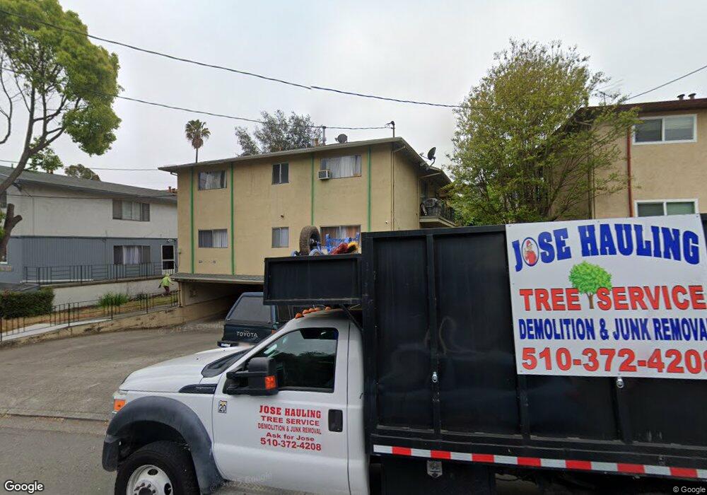
20439 John Dr Castro Valley, CA 94546
West Castro Valley NeighborhoodEstimated Value: $1,382,000 - $1,561,184
8
Beds
4
Baths
3,520
Sq Ft
$415/Sq Ft
Est. Value
About This Home
This home is located at 20439 John Dr, Castro Valley, CA 94546 and is currently estimated at $1,460,546, approximately $414 per square foot. 20439 John Dr is a home located in Alameda County with nearby schools including Stanton Elementary School, Creekside Middle School, and Canyon Middle School.
Ownership History
Date
Name
Owned For
Owner Type
Purchase Details
Closed on
Aug 7, 2000
Sold by
Koberlein Derril L and Koberlein Maura E
Bought by
Phuong Chung C and Quach Linh T
Current Estimated Value
Home Financials for this Owner
Home Financials are based on the most recent Mortgage that was taken out on this home.
Original Mortgage
$372,000
Outstanding Balance
$134,597
Interest Rate
8.19%
Estimated Equity
$1,325,949
Purchase Details
Closed on
May 27, 1999
Sold by
Koberlein Derril L and Koberlein Maura E
Bought by
Koberlein Derril L and Koberlein Maura E Kelly
Purchase Details
Closed on
Jan 24, 1996
Sold by
Cornell E Charles and E Charles Cornell Settlor Trus
Bought by
Koberlein Derril L and Koberlein Maura E Kelly
Home Financials for this Owner
Home Financials are based on the most recent Mortgage that was taken out on this home.
Original Mortgage
$213,500
Interest Rate
7.25%
Create a Home Valuation Report for This Property
The Home Valuation Report is an in-depth analysis detailing your home's value as well as a comparison with similar homes in the area
Home Values in the Area
Average Home Value in this Area
Purchase History
| Date | Buyer | Sale Price | Title Company |
|---|---|---|---|
| Phuong Chung C | $465,000 | North American Title Co | |
| Koberlein Derril L | -- | -- | |
| Koberlein Derril L | $305,000 | North American Title Co |
Source: Public Records
Mortgage History
| Date | Status | Borrower | Loan Amount |
|---|---|---|---|
| Open | Phuong Chung C | $372,000 | |
| Previous Owner | Koberlein Derril L | $213,500 | |
| Closed | Koberlein Derril L | $45,750 |
Source: Public Records
Tax History Compared to Growth
Tax History
| Year | Tax Paid | Tax Assessment Tax Assessment Total Assessment is a certain percentage of the fair market value that is determined by local assessors to be the total taxable value of land and additions on the property. | Land | Improvement |
|---|---|---|---|---|
| 2025 | $10,433 | $700,628 | $210,188 | $490,440 |
| 2024 | $10,433 | $686,893 | $206,068 | $480,825 |
| 2023 | $10,414 | $673,426 | $202,028 | $471,398 |
| 2022 | $10,141 | $660,224 | $198,067 | $462,157 |
| 2021 | $9,815 | $647,280 | $194,184 | $453,096 |
| 2020 | $9,504 | $640,644 | $192,193 | $448,451 |
| 2019 | $9,567 | $628,084 | $188,425 | $439,659 |
| 2018 | $9,272 | $615,771 | $184,731 | $431,040 |
| 2017 | $9,005 | $603,700 | $181,110 | $422,590 |
| 2016 | $8,569 | $591,865 | $177,559 | $414,306 |
| 2015 | $8,057 | $582,978 | $174,893 | $408,085 |
| 2014 | $7,972 | $571,563 | $171,469 | $400,094 |
Source: Public Records
Map
Nearby Homes
- 17324 Ehle St
- 20111 W Ridge Ct Unit 24
- 20111 W Ridge Ct Unit 12
- 21071 Gary Dr Unit 204
- 21109 Gary Dr Unit 206
- 17220 Robey Dr
- 21117 Gary Dr Unit 105
- 21117 Gary Dr Unit 217
- 21117 Gary Dr Unit 106
- 20378 Stanton Ave
- 21103 Gary Dr Unit 303
- 20919 Locust St Unit K
- 2504 Denning Ct
- 20917 Locust St
- 21239 Gary Dr Unit 317D
- 21239 Gary Dr Unit 316A
- 16860 Robey Dr
- 2664 Renton Way
- 21314 Gary Dr Unit 214
- 1530 172nd Ave
