2044 Adams Rd McComb, MS 39648
Estimated Value: $197,000 - $322,000
--
Bed
1
Bath
3,568
Sq Ft
$77/Sq Ft
Est. Value
About This Home
This home is located at 2044 Adams Rd, McComb, MS 39648 and is currently estimated at $275,428, approximately $77 per square foot. 2044 Adams Rd is a home with nearby schools including Eva Gordon Lower Elementary School, Osyka Elementary School, and South Pike Junior High School.
Ownership History
Date
Name
Owned For
Owner Type
Purchase Details
Closed on
Jul 31, 2014
Sold by
Reeves Simone
Bought by
Walker Robert C and Walker Julie C
Current Estimated Value
Purchase Details
Closed on
Jul 14, 2014
Sold by
Waldrop Oliver Grey Joseph
Bought by
Walker Robert C and Walker Julie C
Create a Home Valuation Report for This Property
The Home Valuation Report is an in-depth analysis detailing your home's value as well as a comparison with similar homes in the area
Home Values in the Area
Average Home Value in this Area
Purchase History
| Date | Buyer | Sale Price | Title Company |
|---|---|---|---|
| Walker Robert C | -- | None Available | |
| Walker Robert C | -- | None Available |
Source: Public Records
Tax History Compared to Growth
Tax History
| Year | Tax Paid | Tax Assessment Tax Assessment Total Assessment is a certain percentage of the fair market value that is determined by local assessors to be the total taxable value of land and additions on the property. | Land | Improvement |
|---|---|---|---|---|
| 2025 | $1,154 | $13,751 | $0 | $0 |
| 2024 | $1,154 | $11,291 | $0 | $0 |
| 2023 | $1,109 | $11,287 | $0 | $0 |
| 2022 | $1,092 | $11,284 | $0 | $0 |
| 2021 | $1,044 | $11,280 | $0 | $0 |
| 2020 | $1,013 | $10,762 | $0 | $0 |
| 2019 | $989 | $10,759 | $0 | $0 |
| 2018 | $962 | $10,763 | $0 | $0 |
| 2017 | $900 | $11,099 | $0 | $0 |
| 2016 | $899 | $10,072 | $0 | $0 |
| 2015 | $802 | $9,302 | $0 | $0 |
| 2014 | $208 | $9,288 | $0 | $0 |
| 2013 | -- | $9,283 | $0 | $0 |
Source: Public Records
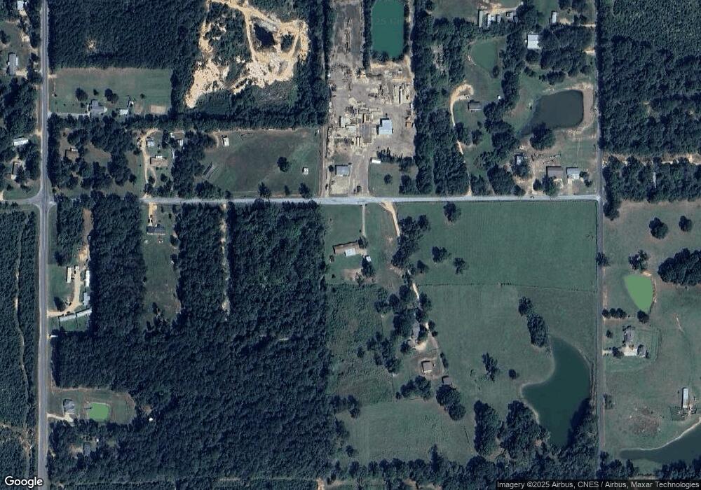
Map
Nearby Homes
- X Wild Estate
- 2159 Oakdale Rd
- 1122 Berthadale Rd
- 3110 U S 51
- 2109 Berthadale Rd
- 3092 Airport Fernwood Rd
- TBD Integrity Rd Lot #3
- 1047 Lenoir Sellers Rd
- 1013 Henry Lee Dr
- ... Biltmore Dr
- ... Biltmore Ln
- 4115 Old Hwy 24
- No Integrity Rd
- 0 Integrity Rd
- XXX US Highway 98
- 00 US Highway 98
- 730 Vogel St
- 1002 Pershing St
- ... Berkshire Ln
- ... W Presley Blvd
- 2036 Adams Rd
- 2048 Adams Rd
- 2049 Adams Rd
- 2038 Adams Rd
- 2071 Adams Rd
- 2063 Adams Rd
- 2011 Adams Rd
- 2085 Adams Rd
- 1190 Old Industrial Rd
- 1171 Oakdale Rd
- 1195 Adams Rd
- 2028 Old Industrial Rd
- 2030 Old Industrial Rd
- 1118 Oakdale Rd
- 1175 Oakdale Rd
- 1164 Old Industrial Park Rd
- 2043 Old Industrial Rd
- 0 Oakdale Rd
- XX Oakdale Rd
- xxxx Oakdale Rd