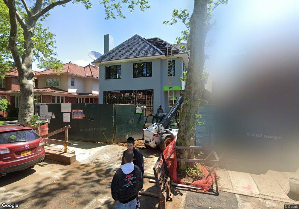
2045 E 5th St Brooklyn, NY 11223
Gravesend NeighborhoodEstimated Value: $6,847,000 - $8,843,582
Studio
--
Bath
5,095
Sq Ft
$1,550/Sq Ft
Est. Value
About This Home
This home is located at 2045 E 5th St, Brooklyn, NY 11223 and is currently estimated at $7,899,646, approximately $1,550 per square foot. 2045 E 5th St is a home located in Kings County with nearby schools including P.S. 215 Morris H Weiss, Is 228 David A Boody, and Abraham Lincoln High School.
Ownership History
Date
Name
Owned For
Owner Type
Purchase Details
Closed on
Oct 13, 2015
Sold by
Dweck Issac and Dweck Jack
Bought by
Harari Salomon and Harari Sarah
Current Estimated Value
Purchase Details
Closed on
Feb 16, 1999
Sold by
Dweck Ralph I
Bought by
Dweck Isaac
Purchase Details
Closed on
Jun 1, 1996
Sold by
Dweck Ralph I
Bought by
Dweck Ralph I
Create a Home Valuation Report for This Property
The Home Valuation Report is an in-depth analysis detailing your home's value as well as a comparison with similar homes in the area
Home Values in the Area
Average Home Value in this Area
Purchase History
| Date | Buyer | Sale Price | Title Company |
|---|---|---|---|
| Harari Salomon | $5,750,000 | -- | |
| Harari Salomon | $5,750,000 | -- | |
| Harari Salomon | $5,750,000 | -- | |
| Dweck Isaac | -- | -- | |
| Dweck Jack | -- | -- | |
| Dweck Isaac | -- | -- | |
| Dweck Ralph I | -- | -- | |
| Dweck Ralph I | -- | -- |
Source: Public Records
Tax History
| Year | Tax Paid | Tax Assessment Tax Assessment Total Assessment is a certain percentage of the fair market value that is determined by local assessors to be the total taxable value of land and additions on the property. | Land | Improvement |
|---|---|---|---|---|
| 2025 | $32,294 | $529,620 | $56,100 | $473,520 |
| 2024 | $32,294 | $445,380 | $56,100 | $389,280 |
| 2023 | $32,294 | $421,740 | $56,100 | $365,640 |
| 2022 | $32,654 | $345,180 | $56,100 | $289,080 |
| 2021 | $32,628 | $266,520 | $56,100 | $210,420 |
| 2019 | $20,509 | $98,040 | $56,100 | $41,940 |
| 2018 | $11,436 | $56,100 | $56,100 | $0 |
| 2017 | $10,992 | $53,923 | $53,923 | $0 |
| 2016 | $10,170 | $50,871 | $15,527 | $35,344 |
| 2015 | $5,832 | $47,992 | $21,974 | $26,018 |
| 2014 | $5,832 | $45,277 | $23,763 | $21,514 |
Source: Public Records
Map
Nearby Homes
- 602 Avenue T Unit 6A
- 2035 E 7th St Unit 3J
- 2035 E 7th St Unit 5F
- 1980 E 8th St
- 388 Avenue S Unit 1B
- 388 Avenue S Unit 4F
- 388 Avenue S Unit 1A
- 394 Avenue S Unit 3D
- 394 Avenue S Unit 4A
- 1802 Ocean Pkwy Unit C9
- 1811 Ocean Pkwy Unit 6M
- 1811 Ocean Pkwy Unit 5L
- 367 Avenue S Unit 4A
- 367 Avenue S Unit 4F
- 367 Avenue S Unit 2E
- 393 Avenue S Unit 5H
- 393 Avenue S Unit 5D
- 393 Avenue S Unit 3G
- 393 Avenue S Unit 3H
- 1899 E 3rd St
Your Personal Tour Guide
Ask me questions while you tour the home.