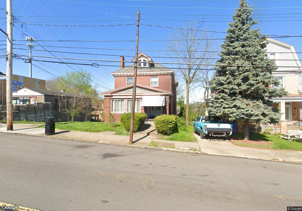
2046 Brownsville Rd Pittsburgh, PA 15210
Carrick NeighborhoodEstimated Value: $145,000 - $219,038
4
Beds
3
Baths
2,961
Sq Ft
$60/Sq Ft
Est. Value
About This Home
This home is located at 2046 Brownsville Rd, Pittsburgh, PA 15210 and is currently estimated at $177,760, approximately $60 per square foot. 2046 Brownsville Rd is a home located in Allegheny County with nearby schools including Pittsburgh Concord K-5, Pittsburgh South Brook, and Pittsburgh Carrick High School.
Ownership History
Date
Name
Owned For
Owner Type
Purchase Details
Closed on
Nov 17, 2021
Sold by
Bryden Robert T
Bought by
Rai Kamala and Subba Kul
Current Estimated Value
Purchase Details
Closed on
Nov 15, 2021
Sold by
Bryden Robert T
Bought by
Rai Kamala
Purchase Details
Closed on
Oct 21, 2004
Sold by
Heisler Desales I
Bought by
Bryden Robert T
Home Financials for this Owner
Home Financials are based on the most recent Mortgage that was taken out on this home.
Original Mortgage
$54,000
Interest Rate
5.85%
Mortgage Type
New Conventional
Create a Home Valuation Report for This Property
The Home Valuation Report is an in-depth analysis detailing your home's value as well as a comparison with similar homes in the area
Home Values in the Area
Average Home Value in this Area
Purchase History
| Date | Buyer | Sale Price | Title Company |
|---|---|---|---|
| Rai Kamala | $140,000 | -- | |
| Rai Kamala | $140,000 | -- | |
| Bryden Robert T | $68,000 | -- |
Source: Public Records
Mortgage History
| Date | Status | Borrower | Loan Amount |
|---|---|---|---|
| Previous Owner | Bryden Robert T | $54,000 |
Source: Public Records
Tax History Compared to Growth
Tax History
| Year | Tax Paid | Tax Assessment Tax Assessment Total Assessment is a certain percentage of the fair market value that is determined by local assessors to be the total taxable value of land and additions on the property. | Land | Improvement |
|---|---|---|---|---|
| 2025 | $2,304 | $100,000 | $13,300 | $86,700 |
| 2024 | $2,304 | $100,000 | $13,300 | $86,700 |
| 2023 | $2,304 | $100,000 | $13,300 | $86,700 |
| 2022 | $2,274 | $100,000 | $13,300 | $86,700 |
| 2021 | $2,299 | $100,000 | $13,300 | $86,700 |
| 2020 | $2,263 | $100,000 | $13,300 | $86,700 |
| 2019 | $2,263 | $100,000 | $13,300 | $86,700 |
| 2018 | $1,815 | $100,000 | $13,300 | $86,700 |
| 2017 | $2,263 | $100,000 | $13,300 | $86,700 |
| 2016 | $473 | $100,000 | $13,300 | $86,700 |
| 2015 | $473 | $100,000 | $13,300 | $86,700 |
| 2014 | $2,213 | $100,000 | $13,300 | $86,700 |
Source: Public Records
Map
Nearby Homes
- 2020 Brownsville Rd
- 2000 Brownsville Rd
- 145 E Woodford Ave
- 309 Parkfield St
- 331 Redwood St
- 2404 Diehl Ave
- 1641 Mount Joseph St
- 2211 Lucina Ave
- 2082 Walton Ave
- 373 Copperfield Ave
- 26 Carrick Ave
- 206 Alries St
- 400 Ariston Ave
- 12 E Meyers St
- 404 Ariston Ave
- 228 Alries St
- 1611 Westmont Ave
- 0 Brownsville Rd Unit 1689715
- 254 Alries St
- 2382 Edgar St
- 2048 Brownsville Rd
- 2044 Brownsville Rd
- 10 W Woodford Ave
- 2104 Brownsville Rd
- 2040 Brownsville Rd Unit 2042
- 2103 Brownsville Rd
- 2055 Brownsville Rd
- 2039 Westmont Ave
- 17 W Woodford Ave
- 2053 Brownsville Rd
- 2035 Westmont Ave
- 2045 Brownsville Rd
- 2029 Westmont Ave
- 2037 Westmont Ave
- 2034 Brownsville Rd
- 2027 Westmont Ave
- 2043 Brownsville Rd
- 10 E Woodford Ave
- 21 W Woodford Ave
- 2025 Westmont Ave