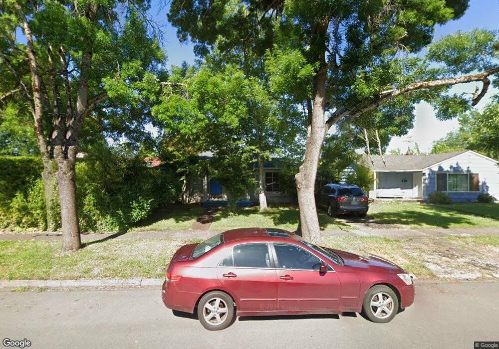
2046 Hilyard St Eugene, OR 97405
South University NeighborhoodEstimated Value: $486,254 - $539,000
3
Beds
1
Bath
1,192
Sq Ft
$432/Sq Ft
Est. Value
About This Home
This home is located at 2046 Hilyard St, Eugene, OR 97405 and is currently estimated at $515,064, approximately $432 per square foot. 2046 Hilyard St is a home located in Lane County with nearby schools including Edison Elementary School, Roosevelt Middle School, and South Eugene High School.
Ownership History
Date
Name
Owned For
Owner Type
Purchase Details
Closed on
Jun 16, 2008
Sold by
Hare James R and Hare Sandra K
Bought by
Therrell Matthew Ryan and Therrell Sophie D
Current Estimated Value
Home Financials for this Owner
Home Financials are based on the most recent Mortgage that was taken out on this home.
Original Mortgage
$217,875
Outstanding Balance
$138,771
Interest Rate
5.99%
Mortgage Type
Purchase Money Mortgage
Estimated Equity
$376,293
Create a Home Valuation Report for This Property
The Home Valuation Report is an in-depth analysis detailing your home's value as well as a comparison with similar homes in the area
Home Values in the Area
Average Home Value in this Area
Purchase History
| Date | Buyer | Sale Price | Title Company |
|---|---|---|---|
| Therrell Matthew Ryan | $290,500 | Western Title |
Source: Public Records
Mortgage History
| Date | Status | Borrower | Loan Amount |
|---|---|---|---|
| Open | Therrell Matthew Ryan | $217,875 |
Source: Public Records
Tax History Compared to Growth
Tax History
| Year | Tax Paid | Tax Assessment Tax Assessment Total Assessment is a certain percentage of the fair market value that is determined by local assessors to be the total taxable value of land and additions on the property. | Land | Improvement |
|---|---|---|---|---|
| 2025 | $5,348 | $274,504 | -- | -- |
| 2024 | $5,282 | $266,509 | -- | -- |
| 2023 | $5,282 | $258,747 | $0 | $0 |
| 2022 | $4,948 | $251,211 | $0 | $0 |
| 2021 | $4,648 | $243,895 | $0 | $0 |
| 2020 | $4,664 | $236,792 | $0 | $0 |
| 2019 | $4,504 | $229,896 | $0 | $0 |
| 2018 | $4,240 | $216,699 | $0 | $0 |
| 2017 | $4,050 | $216,699 | $0 | $0 |
| 2016 | $3,950 | $210,387 | $0 | $0 |
| 2015 | $3,836 | $204,259 | $0 | $0 |
| 2014 | $3,759 | $198,310 | $0 | $0 |
Source: Public Records
Map
Nearby Homes
- 810 E 20th Ave
- 935 E 24th Ave
- 193 E 20th Ave
- 1640 Mill St
- 181 Civic Dr
- 177 E 20th Ave
- 171 E 20th Ave
- 1591 High St
- 2307 Willamette St
- 734 E 14th Ave
- 508 E 14th Ave
- 1479 High St
- 180 E 25th Ave
- 1492 Pearl St
- 255 E 14th (-257) Ave
- 509 E 13th Ave
- 1460 Willamette St
- 2815 Hilyard St
- 2076 Lincoln St
- 180 W 15th Ave
- 2062 Hilyard St
- 2026 Hilyard St
- 2080 Hilyard St
- 680 E 20th Ave
- 2090 Hilyard St
- 2031 Hilyard St
- 2009 Hilyard St
- 2057 Hilyard St
- 2073 Hilyard St
- 1998 Hilyard St
- 720 E 20th Ave
- 2091 Hilyard St
- 1974 Hilyard St
- 680 E 21st Ave
- 740 E 20th Ave
- 1989 Hilyard St
- 735 E 21st Ave
- 1956 Hilyard St
- 2120 Hilyard St
- 2107 Hilyard St