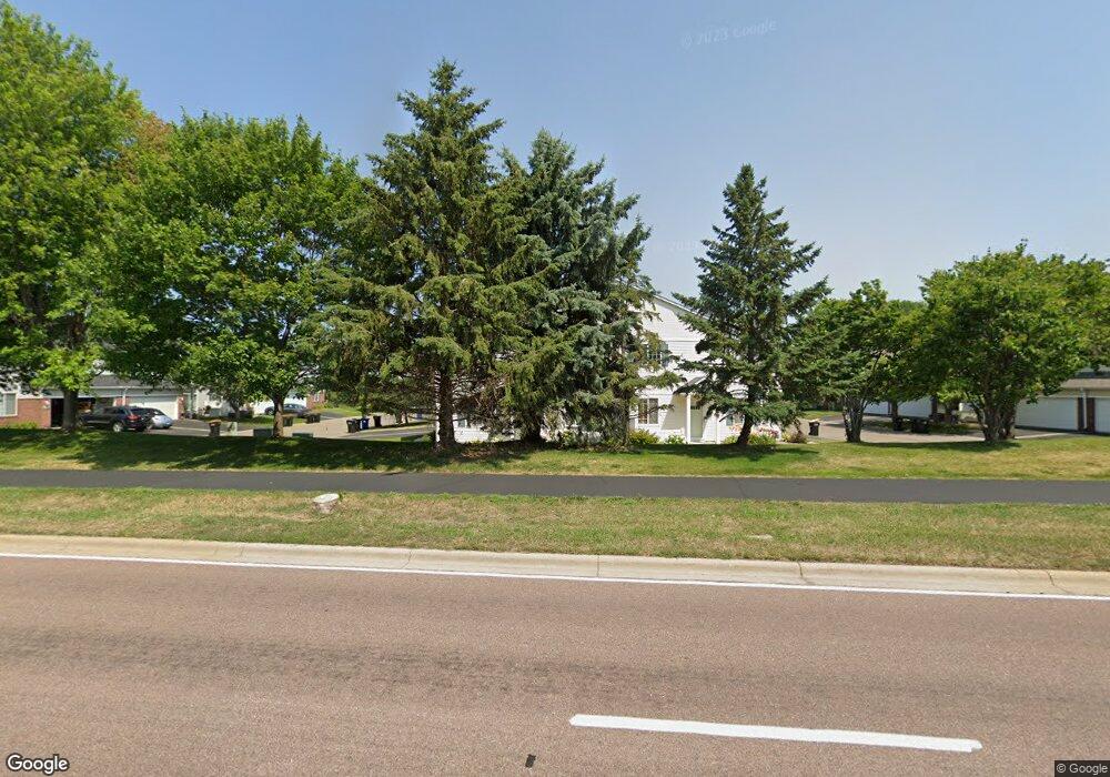
2046 Mockingbird Ave Shakopee, MN 55379
Estimated Value: $264,634 - $270,000
3
Beds
2
Baths
1,562
Sq Ft
$171/Sq Ft
Est. Value
About This Home
This home is located at 2046 Mockingbird Ave, Shakopee, MN 55379 and is currently estimated at $267,409, approximately $171 per square foot. 2046 Mockingbird Ave is a home located in Scott County with nearby schools including Sun Path Elementary School, Shakopee West Middle School, and Shakopee Senior High School.
Ownership History
Date
Name
Owned For
Owner Type
Purchase Details
Closed on
May 15, 2006
Sold by
Bekl Kelli Tranae
Bought by
Kellas Krista and Reynolds Jason David
Current Estimated Value
Purchase Details
Closed on
Jul 28, 2003
Sold by
Bour Michael B and Bour Holly R
Bought by
Paragon Decision Resources
Purchase Details
Closed on
Aug 23, 2001
Sold by
Braun Denise L and Braun Bradley J
Bought by
Bour Michael B
Create a Home Valuation Report for This Property
The Home Valuation Report is an in-depth analysis detailing your home's value as well as a comparison with similar homes in the area
Home Values in the Area
Average Home Value in this Area
Purchase History
| Date | Buyer | Sale Price | Title Company |
|---|---|---|---|
| Kellas Krista | $182,900 | -- | |
| Paragon Decision Resources | $172,500 | -- | |
| Jeffries Kelli | $172,500 | -- | |
| Bour Michael B | $163,000 | -- |
Source: Public Records
Tax History
| Year | Tax Paid | Tax Assessment Tax Assessment Total Assessment is a certain percentage of the fair market value that is determined by local assessors to be the total taxable value of land and additions on the property. | Land | Improvement |
|---|---|---|---|---|
| 2025 | $2,554 | $252,600 | $76,100 | $176,500 |
| 2024 | $2,556 | $241,000 | $72,400 | $168,600 |
| 2023 | $2,618 | $237,400 | $71,000 | $166,400 |
| 2022 | $2,664 | $239,100 | $72,700 | $166,400 |
| 2021 | $2,338 | $208,300 | $57,000 | $151,300 |
| 2020 | $2,546 | $199,400 | $47,300 | $152,100 |
| 2019 | $2,444 | $190,300 | $45,000 | $145,300 |
| 2018 | $2,180 | $0 | $0 | $0 |
| 2016 | $2,162 | $0 | $0 | $0 |
| 2014 | -- | $0 | $0 | $0 |
Source: Public Records
Map
Nearby Homes
- 2066 Mockingbird Ave
- 2350 Downing Ave
- 1596 Chartreux Ave
- 2423 Tyrone Dr
- 2399 Tyrone Dr
- 2351 Tyrone Dr
- 1928 Vierling Dr E
- 2655 King Ave
- 2542 Mathias Rd
- 2006 Tyrone Dr
- 1624 Philipp Way
- 2795 Downing Ave
- 2817 Downing Ave
- 2574 Vierling Dr E
- 1542 Philipp Way
- 1227 Elmwood Ave Unit 85
- 2868 Trinity Dr
- 2871 Trinity Dr
- 2354 Ponds Way
- 1545 Philipp Way
- 2062 Mockingbird Ave Unit 208
- 2042 Mockingbird Ave Unit 202
- 2058 Mockingbird Ave
- 2058 Mockingbird Ave Unit 207
- 2038 Mockingbird Ave
- 2054 Mockingbird Ave Unit 205
- 2034 Mockingbird Ave Unit 204
- 2050 Mockingbird Ave Unit 205
- 2030 Mockingbird Ave Unit 108
- 2026 Mockingbird Ave
- 2074 Mockingbird Ave
- 2074 Mockingbird Ave Unit 302
- 2078 Mockingbird Ave
- 2022 Mockingbird Ave Unit 106
- 2070 Mockingbird Ave
- 2018 Mockingbird Ave
- 2018 Mockingbird Ave Unit 105
- 1663 Brittany Dr Unit 102
- 2090 Mockingbird Ave
- 1659 Brittany Dr
Your Personal Tour Guide
Ask me questions while you tour the home.