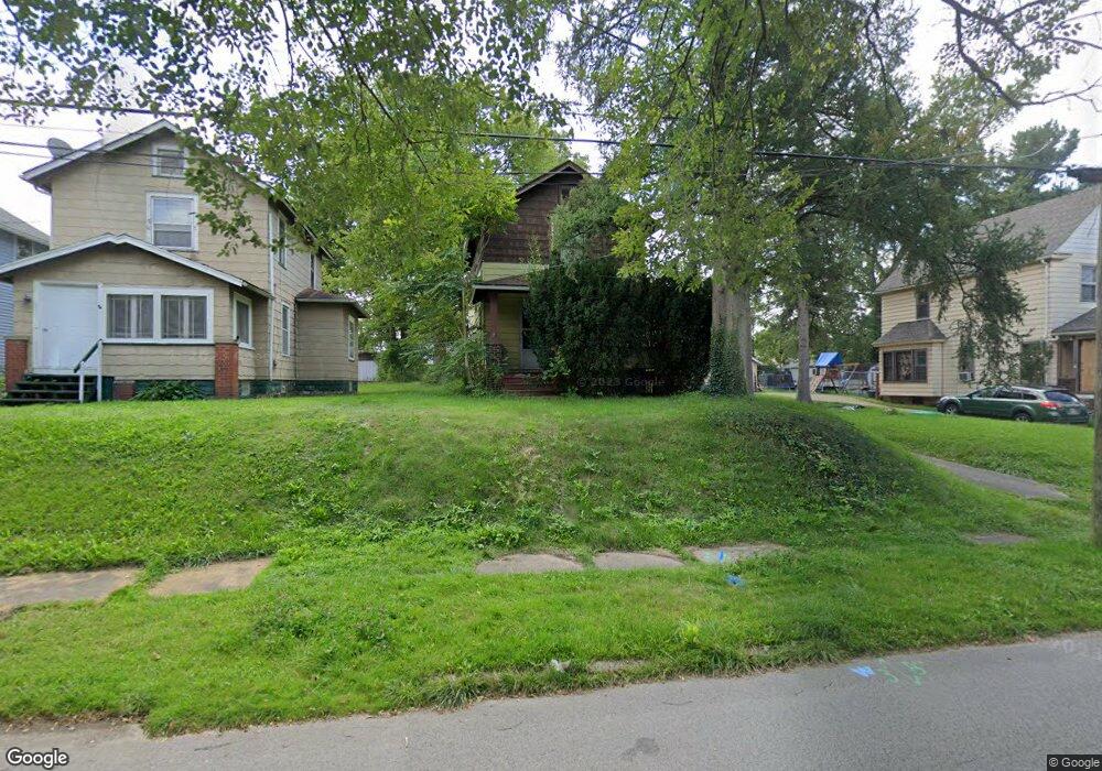
2047 Pointview Ave Youngstown, OH 44502
Buckeye Plat NeighborhoodEstimated Value: $60,918 - $70,000
2
Beds
1
Bath
976
Sq Ft
$66/Sq Ft
Est. Value
About This Home
This home is located at 2047 Pointview Ave, Youngstown, OH 44502 and is currently estimated at $64,730, approximately $66 per square foot. 2047 Pointview Ave is a home located in Mahoning County with nearby schools including Paul C. Bunn Elementary School, Chaney High School, and Summit Academy Secondary School - Youngstown.
Ownership History
Date
Name
Owned For
Owner Type
Purchase Details
Closed on
Aug 29, 2024
Sold by
City Of Youngstown
Bought by
Robinson Eddie J
Current Estimated Value
Purchase Details
Closed on
Mar 28, 2024
Sold by
Sheriff Mahoning County
Bought by
City Of Youngstown
Purchase Details
Closed on
Apr 13, 2006
Sold by
Hoskin Thomas J and Hoskin Beverly M
Bought by
Hoskin Thomas J and Hoskin Beverly M
Purchase Details
Closed on
Mar 19, 1976
Bought by
Hoskin Thomas J and B M
Create a Home Valuation Report for This Property
The Home Valuation Report is an in-depth analysis detailing your home's value as well as a comparison with similar homes in the area
Home Values in the Area
Average Home Value in this Area
Purchase History
| Date | Buyer | Sale Price | Title Company |
|---|---|---|---|
| Robinson Eddie J | $3,120 | None Listed On Document | |
| City Of Youngstown | -- | None Listed On Document | |
| City Of Youngstown | -- | None Listed On Document | |
| Hoskin Thomas J | -- | None Available | |
| Hoskin Thomas J | -- | -- |
Source: Public Records
Tax History Compared to Growth
Tax History
| Year | Tax Paid | Tax Assessment Tax Assessment Total Assessment is a certain percentage of the fair market value that is determined by local assessors to be the total taxable value of land and additions on the property. | Land | Improvement |
|---|---|---|---|---|
| 2024 | $3 | $3,190 | $750 | $2,440 |
| 2023 | $457 | $3,190 | $750 | $2,440 |
| 2022 | $1,034 | $4,470 | $750 | $3,720 |
| 2021 | $734 | $4,470 | $750 | $3,720 |
| 2020 | $736 | $4,470 | $750 | $3,720 |
| 2019 | $1,192 | $4,060 | $680 | $3,380 |
| 2018 | $1,033 | $4,060 | $680 | $3,380 |
| 2017 | $591 | $4,060 | $680 | $3,380 |
| 2016 | $303 | $5,970 | $680 | $5,290 |
| 2015 | $3 | $5,970 | $680 | $5,290 |
| 2014 | $3 | $5,970 | $680 | $5,290 |
| 2013 | $371 | $5,970 | $680 | $5,290 |
Source: Public Records
Map
Nearby Homes
- 2016 Pointview Ave
- 2007 E Midlothian Blvd
- 0 Crescent Dr Unit 5124984
- 1954 Everett Ave
- 2510 E Midlothian Blvd
- 3509 Lenox Ave
- 1928 Medford Ave
- 3448 Neilson Ave
- 0 Weston Ave
- 2001 Brownlee Ave
- 2562 Mount Vernon Ave
- 1646 Weston Ave
- 3337 Powers Way
- 2577 E Midlothian Blvd
- 1653 Brownlee Ave
- 2743 Mount Vernon Ave
- 1654 Wakefield Ave
- 1633 Wakefield Ave
- 4528 Sheridan Rd
- 3222 Sheridan Rd
- 2051 Pointview Ave
- 2055 Pointview Ave
- 2037 Pointview Ave
- 2035 Pointview Ave
- 3706 Loveland Rd
- 3708 Loveland Rd
- 2048 S Heights Ave
- 3685 Neilson Ave
- 2044 S Heights Ave
- 3710 Loveland Rd
- 3720 Loveland Rd
- 2040 S Heights Ave
- 3704 Loveland Rd
- 2027 Pointview Ave
- 3681 Neilson Ave
- 2034 S Heights Ave
- 2025 Pointview Ave
- 3677 Neilson Ave
- 2032 Pointview Ave
- 2028 S Heights Ave