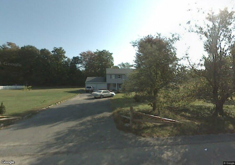
2047 St Paul Dr Unit 20 Ballston Spa, NY 12020
Milton NeighborhoodEstimated Value: $381,000 - $421,000
6
Beds
3
Baths
2,444
Sq Ft
$165/Sq Ft
Est. Value
About This Home
This home is located at 2047 St Paul Dr Unit 20, Ballston Spa, NY 12020 and is currently estimated at $403,537, approximately $165 per square foot. 2047 St Paul Dr Unit 20 is a home located in Saratoga County with nearby schools including Gordon Creek Elementary School, Milton Terrace Elementary School, and Wood Road Elementary School.
Ownership History
Date
Name
Owned For
Owner Type
Purchase Details
Closed on
Dec 7, 2006
Sold by
Roberts Gregory
Bought by
Gonzalez Ismael
Current Estimated Value
Home Financials for this Owner
Home Financials are based on the most recent Mortgage that was taken out on this home.
Original Mortgage
$32,550
Interest Rate
6.27%
Mortgage Type
Purchase Money Mortgage
Purchase Details
Closed on
Jan 16, 2002
Sold by
Stanton Daniel A
Bought by
Roberts Gregory
Purchase Details
Closed on
Feb 22, 1996
Sold by
Stanton Daniel A
Bought by
Stanton Daniel A and Stanton Diane
Create a Home Valuation Report for This Property
The Home Valuation Report is an in-depth analysis detailing your home's value as well as a comparison with similar homes in the area
Home Values in the Area
Average Home Value in this Area
Purchase History
| Date | Buyer | Sale Price | Title Company |
|---|---|---|---|
| Gonzalez Ismael | $217,000 | Daniel P Oleary | |
| Roberts Gregory | $120,000 | None | |
| Stanton Daniel A | $23,500 | -- |
Source: Public Records
Mortgage History
| Date | Status | Borrower | Loan Amount |
|---|---|---|---|
| Previous Owner | Gonzalez Ismael | $32,550 |
Source: Public Records
Tax History Compared to Growth
Tax History
| Year | Tax Paid | Tax Assessment Tax Assessment Total Assessment is a certain percentage of the fair market value that is determined by local assessors to be the total taxable value of land and additions on the property. | Land | Improvement |
|---|---|---|---|---|
| 2024 | $4,274 | $202,600 | $14,900 | $187,700 |
| 2023 | $6,389 | $202,600 | $14,900 | $187,700 |
| 2022 | $6,389 | $202,600 | $14,900 | $187,700 |
| 2021 | $6,389 | $202,600 | $14,900 | $187,700 |
| 2016 | $6,389 | $202,600 | $14,900 | $187,700 |
Source: Public Records
Map
Nearby Homes
- 9 Conans Run
- 255 W Milton Rd
- 9 Brook Trout Cir
- 15 Brook Trout Cir
- 16 Brook Trout Cir
- 14 Brook Trout Cir
- 12 Brook Trout Cir
- 3515 Galway Rd
- 900 Rock City Rd Unit 204
- 34 Creekside Dr
- 880 Rock City Rd
- 40 Creekside Dr
- 42 Creekside Dr
- 44 Creekside Dr
- 3555 Galway Rd
- 51 Creekside Dr
- 198 Paisley Rd
- 714 Route 29
- 3 Magnolia Ct
- 5 Hollow Creek Ct
- 3719 Lewis Rd
- 2043-2045 St Paul Dr
- 2043 St Paul Dr Unit 20
- 3698 Lewis Rd
- 1014-1016 Saint Lawrence Dr
- 1014 St Lawrence Dr Unit 10
- 3694 Lewis Rd
- 1015-1017 Saint Lawrence Dr
- 1015 St Lawrence Dr Unit 10
- 2004 Saint Paul Dr
- 2004 St Paul Dr Unit 20
- 3704 Lewis Rd
- 2039 St Paul Dr Unit 20
- 2039-2041 Saint Paul Dr
- 2003 St Paul Dr
- 2001 St Paul Dr Unit 20
- 2020 St Paul Dr
- 2016 St Paul Dr Unit 20
- 3690 Lewis Rd
- 2009 Saint Paul Dr