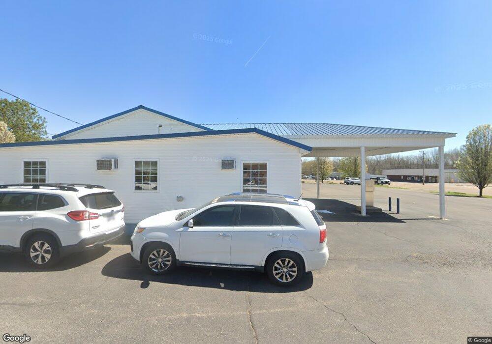
20479 E Main St Huntingdon, TN 38344
Estimated Value: $554,174
Studio
--
Bath
500
Sq Ft
$1,108/Sq Ft
Est. Value
About This Home
This home is located at 20479 E Main St, Huntingdon, TN 38344 and is currently estimated at $554,174, approximately $1,108 per square foot. 20479 E Main St is a home located in Carroll County with nearby schools including Huntingdon Primary School, Huntingdon Middle School, and Huntingdon High School.
Ownership History
Date
Name
Owned For
Owner Type
Purchase Details
Closed on
May 9, 2013
Sold by
Lewis Larry W
Bought by
Stokes Paul E and Bartholomew Christopher Shane
Current Estimated Value
Home Financials for this Owner
Home Financials are based on the most recent Mortgage that was taken out on this home.
Original Mortgage
$178,500
Outstanding Balance
$37,644
Interest Rate
3.44%
Mortgage Type
Commercial
Estimated Equity
$516,530
Purchase Details
Closed on
May 4, 2004
Sold by
Espey Oil
Bought by
Montgomery David W
Purchase Details
Closed on
Jun 17, 2002
Sold by
First Bank
Bought by
Lewis Larry W
Purchase Details
Closed on
Jul 2, 1999
Bought by
Bank Of Huntingdon
Purchase Details
Closed on
Apr 29, 1976
Bought by
Enoch Oil Co
Create a Home Valuation Report for This Property
The Home Valuation Report is an in-depth analysis detailing your home's value as well as a comparison with similar homes in the area
Home Values in the Area
Average Home Value in this Area
Purchase History
| Date | Buyer | Sale Price | Title Company |
|---|---|---|---|
| Stokes Paul E | $210,000 | -- | |
| Montgomery David W | $125,000 | -- | |
| Lewis Larry W | $65,000 | -- | |
| Bank Of Huntingdon | $75,000 | -- | |
| Enoch Oil Co | -- | -- |
Source: Public Records
Mortgage History
| Date | Status | Borrower | Loan Amount |
|---|---|---|---|
| Open | Stokes Paul E | $178,500 |
Source: Public Records
Tax History
| Year | Tax Paid | Tax Assessment Tax Assessment Total Assessment is a certain percentage of the fair market value that is determined by local assessors to be the total taxable value of land and additions on the property. | Land | Improvement |
|---|---|---|---|---|
| 2025 | $1,105 | $46,880 | $28,000 | $18,880 |
| 2024 | $1,903 | $50,320 | $27,000 | $23,320 |
| 2023 | $1,903 | $50,320 | $27,000 | $23,320 |
| 2022 | $1,903 | $50,320 | $27,000 | $23,320 |
| 2021 | $1,339 | $50,320 | $27,000 | $23,320 |
| 2020 | $1,903 | $50,320 | $27,000 | $23,320 |
| 2019 | $2,302 | $55,880 | $27,000 | $28,880 |
| 2018 | $2,302 | $55,880 | $27,000 | $28,880 |
| 2017 | $2,302 | $55,880 | $27,000 | $28,880 |
| 2016 | $2,910 | $55,880 | $27,000 | $28,880 |
| 2015 | $2,075 | $55,880 | $27,000 | $28,880 |
| 2014 | $2,473 | $55,880 | $27,000 | $28,880 |
| 2013 | $2,473 | $59,308 | $0 | $0 |
Source: Public Records
Map
Nearby Homes
- 231 Northwood Dr
- 402 Knox St
- 325 Knox St
- 354 Mebanewood Dr
- 766 Northwood Dr
- 119 5th Ave
- 871 Northwood Dr
- 108 Oak Dr
- Lot 4 Stately Oak Dr
- Lot 3 Stately Oak Dr
- 0 Shoreline Dr Unit RTC2922320
- 0 Shoreline Dr Unit RTC2922326
- 0 Shoreline Dr Unit RTC2680464
- 227 Murray Ln
- 23 E 2nd Ave
- 300 Buena Vista Rd
- 102 Oak Dr
- 12844 Paris St
- 491 Tara Ln
- Lot 7 Stately Oak Dr
- 161 Northwood Dr
- 175 Northwood Dr
- 189 Northwood Dr
- 127 Northwood Dr
- 225 Northwood Dr
- 20430 Main St E
- 219 Northwood Dr
- 20384 E Main St
- 20575 E Main St
- 116 High St
- 249 Northwood Dr
- 124 High St
- 130 High St
- 136 High St
- 140 High St
- 269 Northwood Dr
- 123 High St
- 285 Northwood Dr
- 56 Northwood Dr
- 144 High St