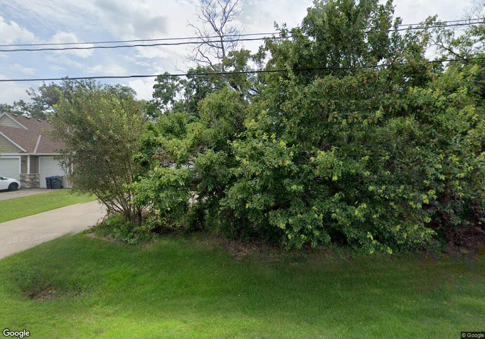
2048 2048 Highway 36--E North St. Paul, MN 55109
Estimated Value: $322,000 - $391,846
2
Beds
2
Baths
948
Sq Ft
$383/Sq Ft
Est. Value
About This Home
This home is located at 2048 2048 Highway 36--E, North St. Paul, MN 55109 and is currently estimated at $363,462, approximately $383 per square foot. 2048 2048 Highway 36--E is a home located in Ramsey County with nearby schools including John Glenn Middle School, Lionsgate Academy AIM, and Mounds Park Academy.
Ownership History
Date
Name
Owned For
Owner Type
Purchase Details
Closed on
Nov 9, 2015
Sold by
Yang Joesu and Yang Kaola
Bought by
Her Mao
Current Estimated Value
Home Financials for this Owner
Home Financials are based on the most recent Mortgage that was taken out on this home.
Original Mortgage
$159,500
Outstanding Balance
$125,241
Interest Rate
3.74%
Estimated Equity
$238,221
Purchase Details
Closed on
Oct 8, 2008
Sold by
Robert P & Xelma M Pitzl Revocable Trust
Bought by
Yang Joesu and Yang Kaola
Purchase Details
Closed on
Mar 29, 1996
Sold by
Bersing Edgar E
Bought by
Weber Thomas J
Create a Home Valuation Report for This Property
The Home Valuation Report is an in-depth analysis detailing your home's value as well as a comparison with similar homes in the area
Home Values in the Area
Average Home Value in this Area
Purchase History
| Date | Buyer | Sale Price | Title Company |
|---|---|---|---|
| Her Mao | -- | First American Title Ins Co | |
| Yang Joesu | $185,000 | -- | |
| Weber Thomas J | $4,000 | -- |
Source: Public Records
Mortgage History
| Date | Status | Borrower | Loan Amount |
|---|---|---|---|
| Open | Her Mao | $159,500 |
Source: Public Records
Tax History Compared to Growth
Tax History
| Year | Tax Paid | Tax Assessment Tax Assessment Total Assessment is a certain percentage of the fair market value that is determined by local assessors to be the total taxable value of land and additions on the property. | Land | Improvement |
|---|---|---|---|---|
| 2025 | $4,786 | $374,500 | $85,800 | $288,700 |
| 2023 | $4,786 | $340,500 | $85,800 | $254,700 |
| 2022 | $3,928 | $353,400 | $85,800 | $267,600 |
| 2021 | $3,974 | $269,800 | $85,800 | $184,000 |
| 2020 | $3,626 | $275,100 | $85,800 | $189,300 |
| 2019 | $3,214 | $239,200 | $85,800 | $153,400 |
| 2018 | $3,270 | $214,600 | $85,800 | $128,800 |
| 2017 | $3,154 | $214,600 | $85,800 | $128,800 |
| 2016 | $3,936 | $0 | $0 | $0 |
| 2015 | $3,942 | $249,700 | $85,800 | $163,900 |
| 2014 | $3,738 | $0 | $0 | $0 |
Source: Public Records
Map
Nearby Homes
- 2242 Jennifer Ln
- 2193 Jennifer Ct
- 2223 Gateway Curve N
- 2222 Gateway Curve N
- 2234 Gateway Curve N
- 2315 Mckenney Way N
- 2189 Gateway Hill Rd N
- 2191 Gateway Hill Rd
- 2330 12th Ave E
- 2092 Shryer Ave E
- 2054 Shryer Ct E
- 2007 6th St N
- 2342 South Ave E
- 2231 N Penn Place Unit 120
- 2231 N Penn Place Unit 114
- 2529 2nd St N
- 2554 Bittersweet Ln
- 1694 Laurie Rd E
- 2285 17th Ave E
- 1666 Laurie Rd E
- 2048 Highway 36 E
- xxx Castle Ave
- xxx 7th St N
- 0 7th St N
- 2064 Highway 36 E
- 2042 Highway 36 E
- 2321 7th St N
- 2331 2331 7th St N
- 2331 7th St N
- 2335 7th St N
- 2335 2335 7th St N
- 2315 7th St N
- 21XX Castle Ave
- 2331 2331 7th-Street-n
- 2303 7th St N
- 2026 Highway 36 E
- 2330 7th St N
- 2295 Ariel Ct N
- 2318 2318 7th-Street-n
- 2318 7th St N
