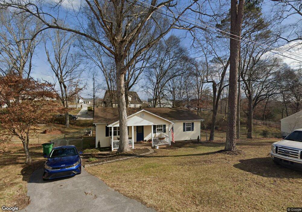
2049 Millard Rd Soddy Daisy, TN 37379
Estimated Value: $262,000 - $291,000
3
Beds
2
Baths
1,232
Sq Ft
$224/Sq Ft
Est. Value
About This Home
This home is located at 2049 Millard Rd, Soddy Daisy, TN 37379 and is currently estimated at $275,967, approximately $223 per square foot. 2049 Millard Rd is a home located in Hamilton County with nearby schools including Loftis Middle School.
Ownership History
Date
Name
Owned For
Owner Type
Purchase Details
Closed on
Dec 7, 2021
Sold by
Walker Scarlette V
Bought by
Walker Richard A
Current Estimated Value
Home Financials for this Owner
Home Financials are based on the most recent Mortgage that was taken out on this home.
Original Mortgage
$162,000
Outstanding Balance
$143,928
Interest Rate
3.11%
Mortgage Type
New Conventional
Estimated Equity
$132,039
Purchase Details
Closed on
Nov 27, 1996
Sold by
Epperson Larry F and Epperson Janet E
Bought by
Walker Richard A and Walker Scarlette V
Home Financials for this Owner
Home Financials are based on the most recent Mortgage that was taken out on this home.
Original Mortgage
$66,462
Interest Rate
7.87%
Mortgage Type
FHA
Create a Home Valuation Report for This Property
The Home Valuation Report is an in-depth analysis detailing your home's value as well as a comparison with similar homes in the area
Home Values in the Area
Average Home Value in this Area
Purchase History
| Date | Buyer | Sale Price | Title Company |
|---|---|---|---|
| Walker Richard A | -- | First Title | |
| Walker Richard A | $66,500 | First Title |
Source: Public Records
Mortgage History
| Date | Status | Borrower | Loan Amount |
|---|---|---|---|
| Open | Walker Richard A | $162,000 | |
| Closed | Walker Richard A | $66,462 |
Source: Public Records
Tax History Compared to Growth
Tax History
| Year | Tax Paid | Tax Assessment Tax Assessment Total Assessment is a certain percentage of the fair market value that is determined by local assessors to be the total taxable value of land and additions on the property. | Land | Improvement |
|---|---|---|---|---|
| 2024 | $763 | $34,125 | $0 | $0 |
| 2023 | $772 | $34,125 | $0 | $0 |
| 2022 | $772 | $34,125 | $0 | $0 |
| 2021 | $772 | $34,125 | $0 | $0 |
| 2020 | $710 | $25,350 | $0 | $0 |
| 2019 | $710 | $25,350 | $0 | $0 |
| 2018 | $710 | $25,350 | $0 | $0 |
| 2017 | $710 | $25,350 | $0 | $0 |
| 2016 | $648 | $0 | $0 | $0 |
| 2015 | $648 | $23,100 | $0 | $0 |
| 2014 | $648 | $0 | $0 | $0 |
Source: Public Records
Map
Nearby Homes
- 2109 Millard Rd
- 2031 Millard Rd
- 11111 Hixson Pike
- 1818 Millard Rd
- 9429 Hackberry Ln
- 1848 Coffee Tree Ln
- 2228 Lakesite Dr
- 2316 Lakesite Dr
- 2119 Collins Ln
- 9802 Shoreline Heights Dr
- 2316 Green Valley Rd
- 2522 W Wind Dr
- 1915 Port Royal Dr
- 2107 Port Royal Dr
- 2028 Port Royal Dr
- 1724 Magnum Ln
- 8900 Wellthor Cir
- 2125 Port Royal Dr
- 1818 Short Leaf Ln
- 2221 Chimney Hills Dr
- 9500 Glenda Ln
- 2045 Millard Rd
- 2045 Millard Rd Unit 133
- 2045 Millard Rd Unit 4
- 2051 Millard Rd
- 9502 Glenda Ln
- 2055 Millard Rd
- 2041 Millard Rd
- 9501 Glenda Ln
- 2111 Millard Rd
- 2102 Millard Rd
- 2114 N Fork Dr
- 211 Glenda Ln
- 2101 Millard Rd
- 9503 Glenda Ln
- 2037 Millard Rd
- 2116 N Fork Dr
- 2911 Millard Rd
- 2040 Millard Rd
- 2108 Millard Rd