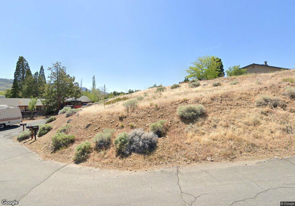
2049 Scharr Cir Reno, NV 89509
West Plumb-Cashill Boulevard NeighborhoodEstimated Value: $110,851 - $808,000
--
Bed
--
Bath
--
Sq Ft
0.32
Acres
About This Home
This home is located at 2049 Scharr Cir, Reno, NV 89509 and is currently estimated at $314,963. 2049 Scharr Cir is a home located in Washoe County with nearby schools including Roy Gomm Elementary School, Darrell C Swope Middle School, and Reno High School.
Ownership History
Date
Name
Owned For
Owner Type
Purchase Details
Closed on
Apr 7, 2025
Sold by
Snider Stephen L
Bought by
Ford Snider Family Trust and Snider
Current Estimated Value
Purchase Details
Closed on
Sep 2, 2022
Sold by
Amy Snider
Bought by
Snider Stephen L
Purchase Details
Closed on
Aug 31, 2022
Sold by
Ford Charles T
Bought by
Snider Stephen L
Purchase Details
Closed on
Jan 16, 2009
Sold by
Lenfestey Amy L
Bought by
Ford Charles T
Purchase Details
Closed on
Dec 6, 2007
Sold by
Stewart D Roger
Bought by
Lenfesley Amy L and Ford Charles T
Purchase Details
Closed on
Feb 19, 1997
Sold by
Lafond Raymond J
Bought by
Lafond Raymond J and Raymond J Lafond Family Trust
Create a Home Valuation Report for This Property
The Home Valuation Report is an in-depth analysis detailing your home's value as well as a comparison with similar homes in the area
Home Values in the Area
Average Home Value in this Area
Purchase History
| Date | Buyer | Sale Price | Title Company |
|---|---|---|---|
| Ford Snider Family Trust | -- | None Listed On Document | |
| Snider Stephen L | -- | -- | |
| Snider Stephen L | $100,000 | -- | |
| Ford Charles T | -- | First Centennial Reno | |
| Lenfesley Amy L | $150,000 | First Centennial Title Co | |
| Lafond Raymond J | -- | -- |
Source: Public Records
Tax History Compared to Growth
Tax History
| Year | Tax Paid | Tax Assessment Tax Assessment Total Assessment is a certain percentage of the fair market value that is determined by local assessors to be the total taxable value of land and additions on the property. | Land | Improvement |
|---|---|---|---|---|
| 2025 | $934 | $57,085 | $57,085 | -- |
| 2024 | $934 | $55,440 | $55,440 | -- |
| 2023 | $866 | $55,440 | $55,440 | $0 |
| 2022 | $802 | $44,590 | $44,590 | $0 |
| 2021 | $743 | $38,500 | $38,500 | $0 |
| 2020 | $697 | $38,500 | $38,500 | $0 |
| 2019 | $664 | $35,000 | $35,000 | $0 |
| 2018 | $633 | $30,450 | $30,450 | $0 |
| 2017 | $608 | $30,450 | $30,450 | $0 |
| 2016 | $593 | $25,410 | $25,410 | $0 |
| 2015 | $296 | $21,910 | $21,910 | $0 |
| 2014 | $573 | $17,115 | $17,115 | $0 |
| 2013 | -- | $15,190 | $15,190 | $0 |
Source: Public Records
Map
Nearby Homes
- 2085 La Fond Dr
- 2095 La Fond Dr
- 3100 Susileen Dr
- 2345 Camelot Way
- 2891 Sagittarius Dr
- 0 Meridian Ln Unit 250054401
- 3495 W Plumb Ln
- 1755 Benjamin Franklin Dr
- 2915 Susileen Dr
- 3355 Markridge Dr
- 2905 Susileen Dr
- 0 Markridge Dr Unit 230002663
- 3265 Markridge Dr
- 000 Markridge Dr
- 3280 Thornhill Dr
- 3475 Meridian Ln
- 2315 Armstrong Ln
- 0 Marthiam Ave
- 2240 W Plumb Ln
- 3390 Thornhill Dr
- 2050 Scharr Cir
- 2048 Scharr Cir
- 2060 La Fond Dr
- 2180 Driscoll Dr
- 2046 Scharr Cir
- 2044 Scharr Cir
- 2070 La Fond Dr
- 2065 La Fond Dr
- 2055 La Fond Dr
- 2030 La Fond Dr
- 2045 La Fond Dr
- 2075 La Fond Dr
- 2215 Driscoll Dr
- 2080 La Fond Dr
- 2140 Driscoll Dr
- 2205 Driscoll Dr
- 2085 La Fond Dr Unit 15
- 2070 Driscoll Dr
- 2585 Camelot Way
- 2060 Driscoll Dr