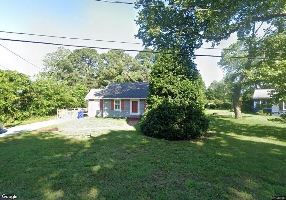
205 Anthony Rd Chestertown, MD 21620
Kingstown NeighborhoodEstimated Value: $245,482 - $292,000
--
Bed
1
Bath
1,192
Sq Ft
$231/Sq Ft
Est. Value
About This Home
This home is located at 205 Anthony Rd, Chestertown, MD 21620 and is currently estimated at $274,871, approximately $230 per square foot. 205 Anthony Rd is a home located in Queen Anne's County with nearby schools including Church Hill Elementary School, Sudlersville Middle School, and Queen Anne's County High School.
Ownership History
Date
Name
Owned For
Owner Type
Purchase Details
Closed on
Mar 29, 2023
Sold by
Rudolfs Patricia A
Bought by
Rudolfs Patricia A and Hardy Jeffrey M
Current Estimated Value
Purchase Details
Closed on
Jun 28, 2021
Sold by
Rudolfs Patricia A and Estate Of James C Lucas
Bought by
Rudolfs Patricia A
Purchase Details
Closed on
May 19, 2009
Sold by
Lucas Calvin
Bought by
Lucas Frances B and Lucas James C
Purchase Details
Closed on
Jan 9, 1990
Sold by
Lucas James C and Lucas Joann B
Bought by
Lucas Calvin and Lucas Frances B
Create a Home Valuation Report for This Property
The Home Valuation Report is an in-depth analysis detailing your home's value as well as a comparison with similar homes in the area
Home Values in the Area
Average Home Value in this Area
Purchase History
| Date | Buyer | Sale Price | Title Company |
|---|---|---|---|
| Rudolfs Patricia A | -- | -- | |
| Rudolfs Patricia A | -- | None Listed On Document | |
| Rudolfs Patricia A | -- | None Available | |
| Lucas Frances B | -- | -- | |
| Lucas Calvin | $73,000 | -- |
Source: Public Records
Tax History Compared to Growth
Tax History
| Year | Tax Paid | Tax Assessment Tax Assessment Total Assessment is a certain percentage of the fair market value that is determined by local assessors to be the total taxable value of land and additions on the property. | Land | Improvement |
|---|---|---|---|---|
| 2025 | $1,799 | $184,600 | $75,000 | $109,600 |
| 2024 | $1,717 | $175,867 | $0 | $0 |
| 2023 | $1,634 | $167,133 | $0 | $0 |
| 2022 | $1,552 | $158,400 | $70,800 | $87,600 |
| 2021 | $1,512 | $151,400 | $0 | $0 |
| 2020 | $1,444 | $144,400 | $0 | $0 |
| 2019 | $1,318 | $137,400 | $70,800 | $66,600 |
| 2018 | $1,318 | $137,400 | $70,800 | $66,600 |
| 2017 | $1,401 | $137,400 | $0 | $0 |
| 2016 | -- | $139,800 | $0 | $0 |
| 2015 | $1,207 | $139,800 | $0 | $0 |
| 2014 | $1,207 | $139,800 | $0 | $0 |
Source: Public Records
Map
Nearby Homes
- 0 East St
- 105 High St
- 228 S Water St
- 206 S Water St
- 206 Cannon St
- 349 & 351 High St
- 349 High St
- 200 Washington Ave
- 303 E Campus Ave
- 108 Little Harbor Way
- 0 Little Harbor Way Unit 1
- 0 Little Harbor Way Unit 1 MDKE2004992
- 118 Little Harbor Way Unit 202
- 104 Little Harbor Way
- 102 Little Harbor Way
- 36 Landing Ln
- 517 High St
- 222 Mount Vernon Ave
- 103 Landing Ln
- 106 Landing Ln
- 201 Anthony Rd
- 207 Anthony Rd
- 198 Anthony Rd
- 205 Larson Ln
- 305 Anthony Rd
- 7404 Church Hill Rd
- 7400 Church Hill Rd
- 201 Larson Ln
- 7332 Church Hill Rd
- 209 Larson Ln
- 7416 Church Hill Rd
- 7326 Church Hill Rd
- 104 East St
- 7320 Church Hill Rd
- 309 Anthony Rd
- 7401 Church Hill Rd Unit 5
- 7401 Church Hill Rd
- 306 Anthony Rd
- 7316 Church Hill Rd
- 108 East St