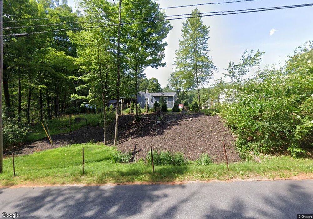
205 Barton Rd Greenfield, MA 01301
Estimated Value: $295,000 - $347,000
2
Beds
1
Bath
960
Sq Ft
$343/Sq Ft
Est. Value
About This Home
This home is located at 205 Barton Rd, Greenfield, MA 01301 and is currently estimated at $328,924, approximately $342 per square foot. 205 Barton Rd is a home located in Franklin County with nearby schools including Greenfield Center School, Cornerstone Christian School, and Holy Trinity School.
Ownership History
Date
Name
Owned For
Owner Type
Purchase Details
Closed on
Sep 25, 2020
Sold by
Manson Constance G Est and Manson
Bought by
Douglas A Manson Irt and Manson
Current Estimated Value
Purchase Details
Closed on
Jul 11, 2014
Sold by
Manson Douglas A
Bought by
Douglas A Manson Irt and Manson
Purchase Details
Closed on
Jun 22, 2004
Sold by
Manson Constance G and Manson Durwood J
Bought by
Manson Douglas A
Purchase Details
Closed on
Dec 1, 1975
Bought by
Douglas A Manson Irt
Create a Home Valuation Report for This Property
The Home Valuation Report is an in-depth analysis detailing your home's value as well as a comparison with similar homes in the area
Home Values in the Area
Average Home Value in this Area
Purchase History
| Date | Buyer | Sale Price | Title Company |
|---|---|---|---|
| Douglas A Manson Irt | $25,000 | None Available | |
| Douglas A Manson Irt | $25,000 | None Available | |
| Douglas A Manson Irt | -- | -- | |
| Douglas A Manson Irt | -- | -- | |
| Manson Douglas A | -- | -- | |
| Manson Douglas A | -- | -- | |
| Douglas A Manson Irt | $27,500 | -- |
Source: Public Records
Mortgage History
| Date | Status | Borrower | Loan Amount |
|---|---|---|---|
| Previous Owner | Douglas A Manson Irt | $45,000 | |
| Previous Owner | Douglas A Manson Irt | $75,695 |
Source: Public Records
Tax History Compared to Growth
Tax History
| Year | Tax Paid | Tax Assessment Tax Assessment Total Assessment is a certain percentage of the fair market value that is determined by local assessors to be the total taxable value of land and additions on the property. | Land | Improvement |
|---|---|---|---|---|
| 2025 | $4,636 | $237,000 | $83,000 | $154,000 |
| 2024 | $4,563 | $223,800 | $70,800 | $153,000 |
| 2023 | $4,150 | $211,200 | $70,800 | $140,400 |
| 2022 | $4,301 | $192,700 | $70,900 | $121,800 |
| 2021 | $4,331 | $186,500 | $74,900 | $111,600 |
| 2020 | $4,052 | $176,700 | $74,900 | $101,800 |
| 2019 | $3,736 | $167,100 | $65,300 | $101,800 |
| 2018 | $3,681 | $164,100 | $64,100 | $100,000 |
| 2017 | $3,566 | $164,100 | $64,100 | $100,000 |
| 2016 | $3,522 | $161,500 | $64,100 | $97,400 |
| 2015 | $3,613 | $160,500 | $65,700 | $94,800 |
| 2014 | $3,295 | $160,500 | $65,700 | $94,800 |
Source: Public Records
Map
Nearby Homes
- 34 Brookside Ave
- 83 Eden Trail Branch
- 31 Lovers Ln
- 218 Greenfield Rd
- 72 Meadowood Dr
- 27 Lunt Dr
- 696 Bernardston Rd
- 001 Adams Rd
- 319 Greenfield Rd
- 47 Cross St
- 75 South St Unit 3
- 0 Pickett Ln
- 4 Pickett Ln
- 539 Fox Hill Rd
- 187 Plain Rd
- 151 Smead Hill Rd
- 79 Burnham Rd
- 104 Leyden Rd
- 59 River St
- 544 Fox Hill Rd (Vacant Land)