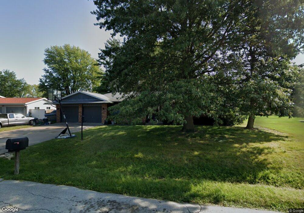
205 E Meadow Ln Columbus Junction, IA 52738
Estimated Value: $206,689 - $245,000
4
Beds
2
Baths
1,666
Sq Ft
$139/Sq Ft
Est. Value
About This Home
This home is located at 205 E Meadow Ln, Columbus Junction, IA 52738 and is currently estimated at $232,172, approximately $139 per square foot. 205 E Meadow Ln is a home located in Louisa County with nearby schools including Roundy Elementary School and Columbus Community High School.
Ownership History
Date
Name
Owned For
Owner Type
Purchase Details
Closed on
Jun 17, 2011
Sold by
C & R Farm Corp
Bought by
Forbes David and Forbes Carrie K
Current Estimated Value
Home Financials for this Owner
Home Financials are based on the most recent Mortgage that was taken out on this home.
Original Mortgage
$110,492
Outstanding Balance
$76,314
Interest Rate
4.67%
Mortgage Type
FHA
Estimated Equity
$155,858
Create a Home Valuation Report for This Property
The Home Valuation Report is an in-depth analysis detailing your home's value as well as a comparison with similar homes in the area
Purchase History
| Date | Buyer | Sale Price | Title Company |
|---|---|---|---|
| Forbes David | $114,500 | -- |
Source: Public Records
Mortgage History
| Date | Status | Borrower | Loan Amount |
|---|---|---|---|
| Open | Forbes David | $110,492 |
Source: Public Records
Tax History
| Year | Tax Paid | Tax Assessment Tax Assessment Total Assessment is a certain percentage of the fair market value that is determined by local assessors to be the total taxable value of land and additions on the property. | Land | Improvement |
|---|---|---|---|---|
| 2025 | $2,300 | $186,460 | $17,330 | $169,130 |
| 2024 | $2,258 | $157,920 | $17,330 | $140,590 |
| 2023 | $2,622 | $157,920 | $17,330 | $140,590 |
| 2022 | $2,530 | $154,700 | $17,330 | $137,370 |
| 2021 | $2,196 | $154,700 | $17,330 | $137,370 |
| 2020 | $2,196 | $126,030 | $17,330 | $108,700 |
| 2019 | $2,392 | $126,030 | $17,330 | $108,700 |
| 2018 | $2,324 | $126,030 | $17,330 | $108,700 |
| 2017 | $2,474 | $122,490 | $0 | $0 |
| 2016 | $2,498 | $122,490 | $10,470 | $112,020 |
| 2015 | $2,498 | $122,490 | $10,470 | $112,020 |
| 2014 | $2,372 | $122,490 | $10,470 | $112,020 |
Source: Public Records
Map
Nearby Homes
- 1233 Ridge Rd
- 314 Springer Ave
- 824 3rd St
- 409 2nd St
- 000 County Road X-17
- 1206 Concord St
- 24538 118th St
- 00 140th St
- 000 140th St
- 9996 W Ave
- 17297 Highway 92
- 17297 Iowa 92
- 17297 State Hwy 92
- 17525 115th St
- 19523 V Ave
- 17197 115th St
- 000 Louisa-Washington Rd
- 18149 County Road X43
- 200 E Brown St
- 340 E Main St
- 207 E Meadow Ln
- 309 Flat Iron Dr
- 311 Flat Iron Dr
- 221 E Meadow Ln
- 307 Flat Iron Dr
- 209 E Meadow Ln
- 313 Flat Iron Dr
- 138 Orchard Ln
- 210 Orchard Ln
- 211 E Meadow Ln
- 219 E Meadow Ln
- 308 Flat Iron Dr
- 315 Flat Iron Dr
- 134 Orchard Ln
- 104 Midway Dr
- 106 Midway Dr
- 0 Meadow Street Parcel B Unit 8-87
- 0 Meadow Street Parcel A Unit 8-86
- 214 Flat Iron Dr
- 312 Flat Iron Dr
Your Personal Tour Guide
Ask me questions while you tour the home.