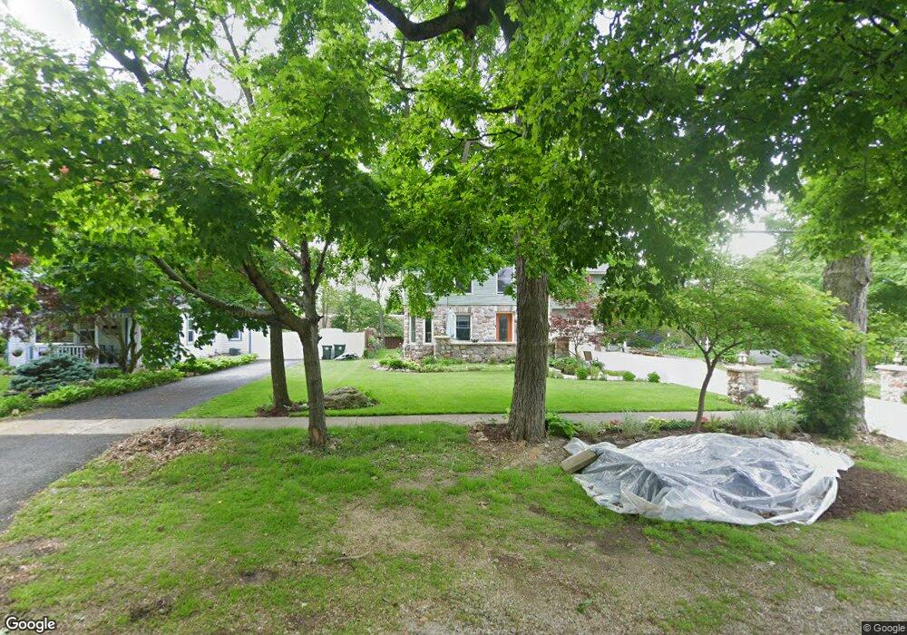
205 Main St Oswego, IL 60543
Downtown Oswego NeighborhoodEstimated Value: $300,000 - $466,000
3
Beds
3
Baths
2,870
Sq Ft
$142/Sq Ft
Est. Value
About This Home
This home is located at 205 Main St, Oswego, IL 60543 and is currently estimated at $408,578, approximately $142 per square foot. 205 Main St is a home located in Kendall County with nearby schools including Southbury Elementary School, Traughber Junior High School, and Oswego High School.
Ownership History
Date
Name
Owned For
Owner Type
Purchase Details
Closed on
Dec 28, 2020
Sold by
Stanley Building Properties Ltd
Bought by
Stanley Bruce and Stanley Donna
Current Estimated Value
Purchase Details
Closed on
Mar 21, 2008
Sold by
The Bank Of New York Trust Co Na Sharmel
Bought by
Stanley Buildings & Properties Ltd
Purchase Details
Closed on
Aug 26, 2007
Sold by
Karls Roberta L
Bought by
The Bank Of New York Trust Co
Create a Home Valuation Report for This Property
The Home Valuation Report is an in-depth analysis detailing your home's value as well as a comparison with similar homes in the area
Home Values in the Area
Average Home Value in this Area
Purchase History
| Date | Buyer | Sale Price | Title Company |
|---|---|---|---|
| Stanley Bruce | -- | Attorney | |
| Stanley Buildings & Properties Ltd | $115,000 | First American Title | |
| The Bank Of New York Trust Co | -- | None Available |
Source: Public Records
Tax History
| Year | Tax Paid | Tax Assessment Tax Assessment Total Assessment is a certain percentage of the fair market value that is determined by local assessors to be the total taxable value of land and additions on the property. | Land | Improvement |
|---|---|---|---|---|
| 2024 | $9,058 | $123,558 | $24,285 | $99,273 |
| 2023 | $7,904 | $108,385 | $21,303 | $87,082 |
| 2022 | $7,904 | $98,531 | $19,366 | $79,165 |
| 2021 | $8,477 | $96,599 | $18,986 | $77,613 |
| 2020 | $8,949 | $94,705 | $18,614 | $76,091 |
| 2019 | $9,018 | $93,952 | $18,614 | $75,338 |
| 2018 | $9,366 | $96,339 | $16,871 | $79,468 |
| 2017 | $9,102 | $88,791 | $15,549 | $73,242 |
| 2016 | $8,754 | $84,162 | $14,738 | $69,424 |
| 2015 | $8,828 | $80,925 | $14,171 | $66,754 |
| 2014 | -- | $77,813 | $13,626 | $64,187 |
| 2013 | -- | $81,055 | $14,194 | $66,861 |
Source: Public Records
Map
Nearby Homes
- 268 S Adams St
- 238 Cooney Way
- 239 Cooney Way
- 403 Tanya Ln
- 343 Danforth Dr
- 713 Erwin St
- 236 Cooney Way
- 237 Cooney Way
- 69 Monroe St
- 371 S Madison St
- 206 E Washington St
- 429 Prairieview Dr
- 55 Garfield St
- 114 Riverview Ct
- 187 Eisenhower Dr
- 117 Presidential Blvd Unit 3244
- 125 Presidential Blvd Unit 3248
- 505 Parkland Ct
- 101 Bell Ct
- 220 Presidential Blvd
- 211 Main St
- 219 Main St
- 175 Main St
- 210 S Adams St Unit D
- 210 S Adams St
- 210 S Adams St Unit A
- 218 S Adams St
- 56 W Benton St
- 204 Main St
- 212 Main St
- 74 W Benton St
- 168 S Adams St
- 18 W Tyler St
- 218 Main St
- 26 W Tyler St
- 26 W Tyler St Unit 1
- 26 W Benton St
- 209 S Adams St
- 205 S Adams St Unit 211
- 57 W Van Buren St
Your Personal Tour Guide
Ask me questions while you tour the home.