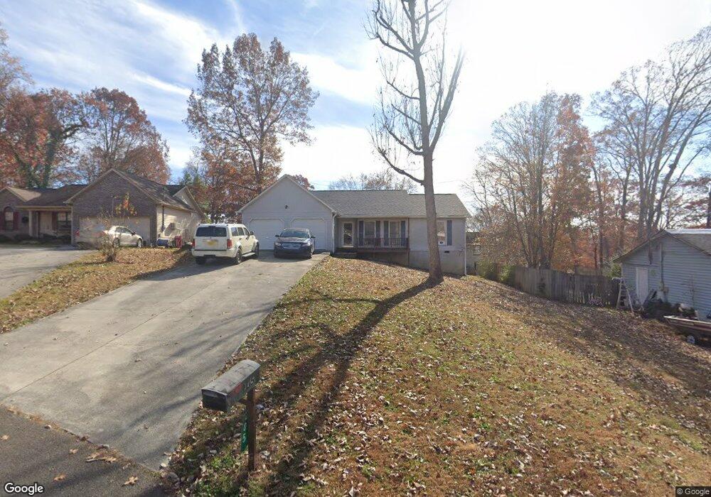
205 Parrot Ln Clinton, TN 37716
East Clinton NeighborhoodEstimated Value: $238,289 - $330,000
--
Bed
2
Baths
1,411
Sq Ft
$212/Sq Ft
Est. Value
About This Home
This home is located at 205 Parrot Ln, Clinton, TN 37716 and is currently estimated at $298,572, approximately $211 per square foot. 205 Parrot Ln is a home located in Anderson County with nearby schools including Norris Elementary School and Norris Middle School.
Ownership History
Date
Name
Owned For
Owner Type
Purchase Details
Closed on
Feb 7, 1996
Sold by
Carroll Karl J
Bought by
Black Betty
Current Estimated Value
Purchase Details
Closed on
Jan 5, 1995
Sold by
Schubert Const
Bought by
Carroll Karl J
Purchase Details
Closed on
Jan 1, 1990
Bought by
Schubert Const Ideas Inc
Purchase Details
Closed on
Dec 19, 1989
Bought by
Cusick Charles Harold and Cusick Wife Mary A
Create a Home Valuation Report for This Property
The Home Valuation Report is an in-depth analysis detailing your home's value as well as a comparison with similar homes in the area
Home Values in the Area
Average Home Value in this Area
Purchase History
| Date | Buyer | Sale Price | Title Company |
|---|---|---|---|
| Black Betty | $89,500 | -- | |
| Carroll Karl J | $10,250 | -- | |
| Schubert Const Ideas Inc | -- | -- | |
| Cusick Charles Harold | $64,900 | -- |
Source: Public Records
Tax History Compared to Growth
Tax History
| Year | Tax Paid | Tax Assessment Tax Assessment Total Assessment is a certain percentage of the fair market value that is determined by local assessors to be the total taxable value of land and additions on the property. | Land | Improvement |
|---|---|---|---|---|
| 2024 | $1,123 | $42,725 | $8,750 | $33,975 |
| 2023 | $1,123 | $42,725 | $0 | $0 |
| 2022 | $1,123 | $42,725 | $8,750 | $33,975 |
| 2021 | $1,123 | $42,725 | $8,750 | $33,975 |
| 2020 | $896 | $42,725 | $8,750 | $33,975 |
| 2019 | $928 | $32,100 | $5,625 | $26,475 |
| 2018 | $896 | $32,100 | $5,625 | $26,475 |
| 2017 | $896 | $32,100 | $5,625 | $26,475 |
| 2016 | $896 | $32,100 | $5,625 | $26,475 |
| 2015 | -- | $31,675 | $5,625 | $26,050 |
| 2014 | -- | $31,675 | $5,625 | $26,050 |
| 2013 | -- | $32,875 | $0 | $0 |
Source: Public Records
Map
Nearby Homes
- 124 Pheasant Rd
- 229 Doe Run Blvd
- 6 Lilac Ct
- 604 Bear Cub Ln
- 103 Witt Ct
- 380 Hillvale Rd
- 390 Hillvale Rd
- 400 Hillvale Rd
- 2025 N Charles G Seivers Blvd
- 500 Miller Rd
- 145 Grace Cir
- 149 Mike Miller Ln
- 221 Miller Rd
- 103 Wilson Ln
- 541 Hillvale Rd
- 703 Saulsbury Ln
- 707 Saulsbury Ln
- 702 Saulsbury Ln
- 711 Saulsbury Ln
- 0 Hillvale Rd
- 201 Parrot Ln
- 207 Parrot Ln
- 102 Quail Run Ct
- 105 Pheasant Rd
- 209 Parrot Ln
- 202 Parrot Ln
- 100 Quail Run Ct
- 211 Parrot Ln
- 206 Parrot Ln
- 200 Parrot Ln
- 204 Parrot Ln
- 106 Quail Run Ct
- 210 Parrot Ln
- 111 Pheasant Rd
- 104 Pheasant Rd
- 106 Pheasant Rd
- 103 Quail Run Ct
- 108 Pheasant Rd
- 105 Quail Run Ct
- 110 Partridge Place