205 Trailside Loop Unit 205 Eugene, OR 97405
Crest Drive NeighborhoodEstimated Value: $244,000 - $297,000
2
Beds
2
Baths
532
Sq Ft
$505/Sq Ft
Est. Value
About This Home
This home is located at 205 Trailside Loop Unit 205, Eugene, OR 97405 and is currently estimated at $268,515, approximately $504 per square foot. 205 Trailside Loop Unit 205 is a home located in Lane County with nearby schools including Edgewood Community Elementary School, Spencer Butte Middle School, and South Eugene High School.
Ownership History
Date
Name
Owned For
Owner Type
Purchase Details
Closed on
Apr 1, 2021
Sold by
Anderson Sandra R and Miller Sandra R
Bought by
Moreno Ricardo Mora
Current Estimated Value
Home Financials for this Owner
Home Financials are based on the most recent Mortgage that was taken out on this home.
Original Mortgage
$184,500
Outstanding Balance
$165,299
Interest Rate
2.8%
Mortgage Type
New Conventional
Estimated Equity
$103,216
Purchase Details
Closed on
Aug 30, 2004
Sold by
Possman Kyoko and Mcbean Kyoko Maeda
Bought by
Miller Sandra R
Home Financials for this Owner
Home Financials are based on the most recent Mortgage that was taken out on this home.
Original Mortgage
$83,600
Interest Rate
5.92%
Mortgage Type
Purchase Money Mortgage
Create a Home Valuation Report for This Property
The Home Valuation Report is an in-depth analysis detailing your home's value as well as a comparison with similar homes in the area
Home Values in the Area
Average Home Value in this Area
Purchase History
| Date | Buyer | Sale Price | Title Company |
|---|---|---|---|
| Moreno Ricardo Mora | $205,000 | Evergreen Land Title Co | |
| Miller Sandra R | $88,000 | Western Pioneer Title Co |
Source: Public Records
Mortgage History
| Date | Status | Borrower | Loan Amount |
|---|---|---|---|
| Open | Moreno Ricardo Mora | $184,500 | |
| Previous Owner | Miller Sandra R | $83,600 |
Source: Public Records
Tax History
| Year | Tax Paid | Tax Assessment Tax Assessment Total Assessment is a certain percentage of the fair market value that is determined by local assessors to be the total taxable value of land and additions on the property. | Land | Improvement |
|---|---|---|---|---|
| 2025 | $2,571 | $131,950 | -- | -- |
| 2024 | $2,539 | $128,107 | -- | -- |
| 2023 | $2,539 | $124,376 | $0 | $0 |
| 2022 | $2,379 | $120,754 | $0 | $0 |
| 2021 | $2,234 | $117,237 | $0 | $0 |
| 2020 | $2,242 | $113,823 | $0 | $0 |
| 2019 | $2,165 | $110,508 | $0 | $0 |
| 2018 | $2,000 | $104,165 | $0 | $0 |
| 2017 | $1,822 | $104,165 | $0 | $0 |
| 2016 | $1,750 | $101,131 | $0 | $0 |
| 2015 | $1,683 | $98,185 | $0 | $0 |
| 2014 | $1,758 | $95,325 | $0 | $0 |
Source: Public Records
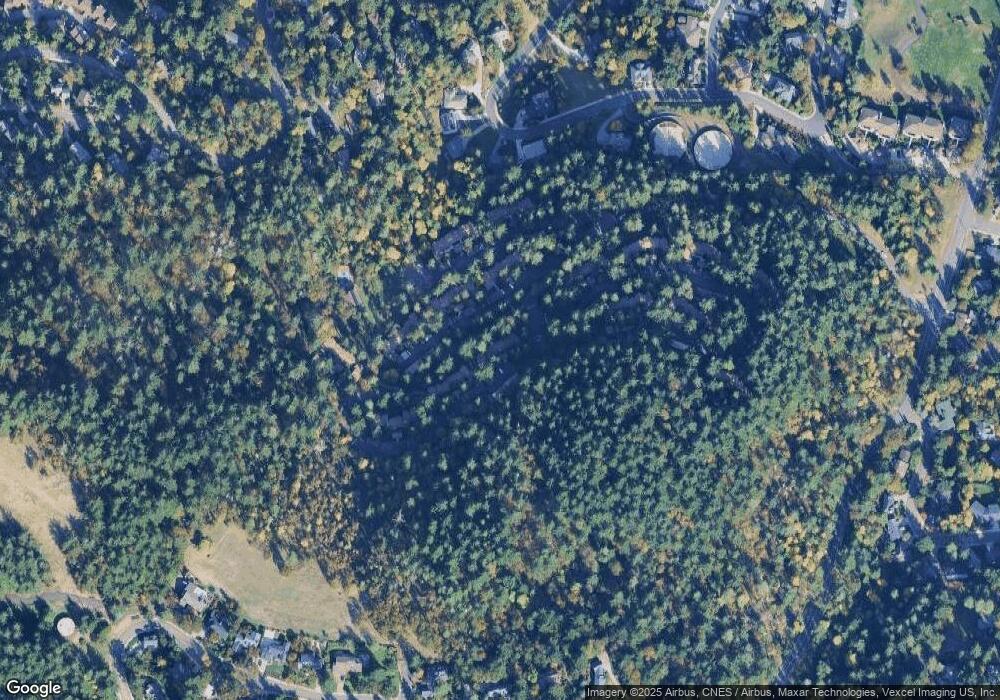
Map
Nearby Homes
- 223 Trailside Loop Unit 223
- 422 Stonewood Dr Unit 422
- 418 Stonewood Dr Unit 418
- 151 Treehill Loop Unit 151
- 152 Treehill Loop Unit 152
- 143 Treehill Loop Unit 143
- 126 Treehill Loop Unit 126
- 278 Rockridge Ct
- 653 Brookside Dr
- 36 Westbrook Way
- 21 Westbrook Way
- 17 Westbrook Way
- 784 Brookside Dr
- 0 Pine View Ct Unit 758820410
- 4734 Brookwood St
- 202 Foxtail Dr
- 296 Woodridge Dr
- 4845 Brookwood St
- 4040 Southpointe Dr
- 806 Sundance St
- 206 Trailside Loop Unit 206
- 207 Trailside Loop Unit 207
- 203 Trailside Loop Unit 203
- 208 Trailside Loop Unit 208
- 216 Trailside Loop Unit 216
- 215 Trailside Loop Unit 215
- 214 Trailside Loop
- 213 Trailside Loop
- 416 Stonewood Dr Unit 416
- 415 Stonewood Dr
- 402 Stonewood Dr
- 414 Stonewood Dr Unit 414
- 413 Stonewood Dr Unit 413
- 412 Stonewood Dr Unit 412
- 411 Stonewood Dr Unit 411
- 403 Stonewood Dr
- 410 Stonewood Dr Unit 410
- 211 Trailside Loop Unit 211
- 404 Stonewood Dr Unit 404
- 405 Stonewood Dr Unit 405
Your Personal Tour Guide
Ask me questions while you tour the home.