2050 170th St West Point, IA 52656
Estimated Value: $186,000 - $341,946
--
Bed
1
Bath
1,517
Sq Ft
$162/Sq Ft
Est. Value
About This Home
This home is located at 2050 170th St, West Point, IA 52656 and is currently estimated at $245,737, approximately $161 per square foot. 2050 170th St is a home located in Lee County with nearby schools including Central Lee Elementary School, Central Lee Middle School, and Central Lee High School.
Ownership History
Date
Name
Owned For
Owner Type
Purchase Details
Closed on
Dec 16, 2021
Sold by
Bogert-Smith Evelyn
Bought by
Mcdowell Donald R
Current Estimated Value
Purchase Details
Closed on
Sep 3, 2013
Sold by
Juhl Myron
Bought by
Holtkamp Chad A and Holtkamp Kimberly A
Home Financials for this Owner
Home Financials are based on the most recent Mortgage that was taken out on this home.
Original Mortgage
$205,000
Interest Rate
4.39%
Mortgage Type
New Conventional
Create a Home Valuation Report for This Property
The Home Valuation Report is an in-depth analysis detailing your home's value as well as a comparison with similar homes in the area
Home Values in the Area
Average Home Value in this Area
Purchase History
| Date | Buyer | Sale Price | Title Company |
|---|---|---|---|
| Mcdowell Donald R | -- | None Listed On Document | |
| Holtkamp Chad A | $205,000 | None Available | |
| Holtkamp Chad A | $205,000 | None Available |
Source: Public Records
Mortgage History
| Date | Status | Borrower | Loan Amount |
|---|---|---|---|
| Previous Owner | Holtkamp Chad A | $205,000 |
Source: Public Records
Tax History Compared to Growth
Tax History
| Year | Tax Paid | Tax Assessment Tax Assessment Total Assessment is a certain percentage of the fair market value that is determined by local assessors to be the total taxable value of land and additions on the property. | Land | Improvement |
|---|---|---|---|---|
| 2025 | $738 | $86,390 | $2,750 | $83,640 |
| 2024 | $738 | $75,220 | $2,210 | $73,010 |
| 2023 | $678 | $75,220 | $2,210 | $73,010 |
| 2022 | $580 | $56,230 | $1,680 | $54,550 |
| 2021 | $580 | $56,230 | $1,680 | $54,550 |
| 2020 | $574 | $53,810 | $1,580 | $52,230 |
| 2019 | $558 | $53,810 | $1,580 | $52,230 |
| 2018 | $552 | $52,080 | $0 | $0 |
| 2017 | $552 | $43,450 | $0 | $0 |
| 2016 | $416 | $43,450 | $0 | $0 |
| 2015 | $416 | $44,120 | $0 | $0 |
| 2014 | $432 | $44,120 | $0 | $0 |
Source: Public Records
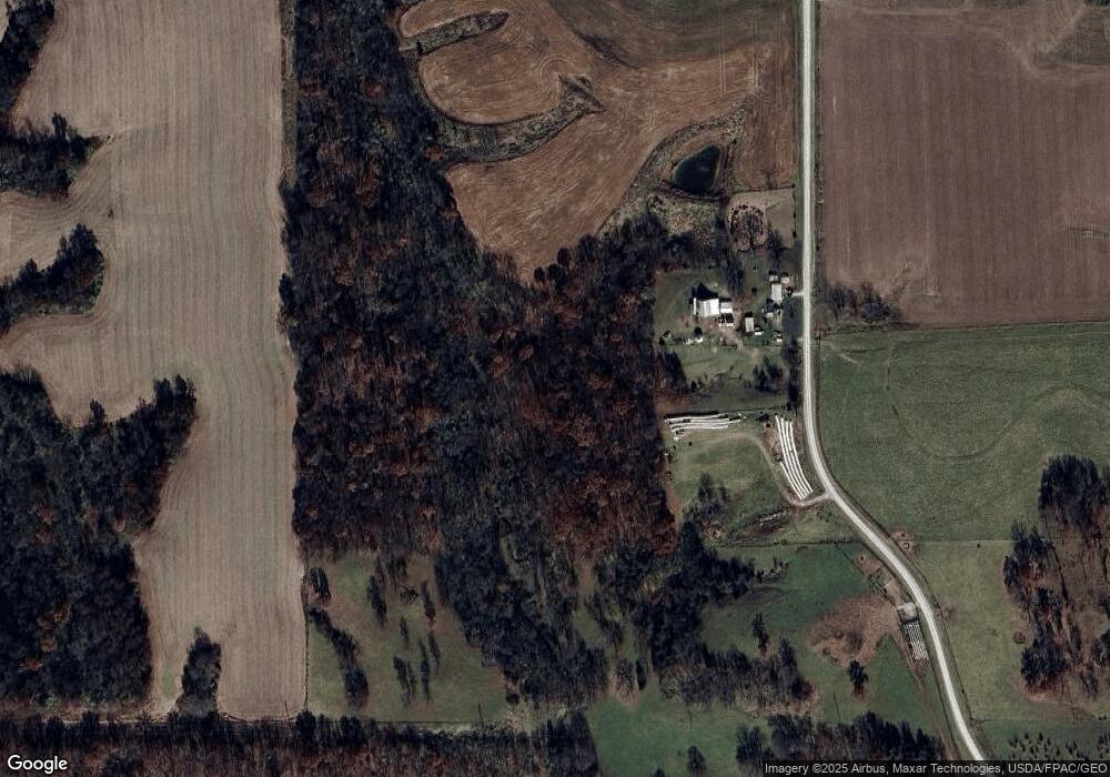
Map
Nearby Homes
- 2280 Windmill Way
- 2257 Burt Rd
- 306 Franklin 5th St
- 1794 150th St
- 53 5th St
- 00 180th St
- 2042 St Paul 2nd St
- 819 Park St
- 808 Park St
- 603 Fruit St
- 808 Pershing St
- 221 Chestnut St
- 720 Pershing St
- 807 Chestnut St
- 2229 235th St
- 1405 Primrose Rd
- 2329 263rd Ave
- 1712 335th St
- 0 Blues Highway & Bluff Rd
- 6119 Reve Ct