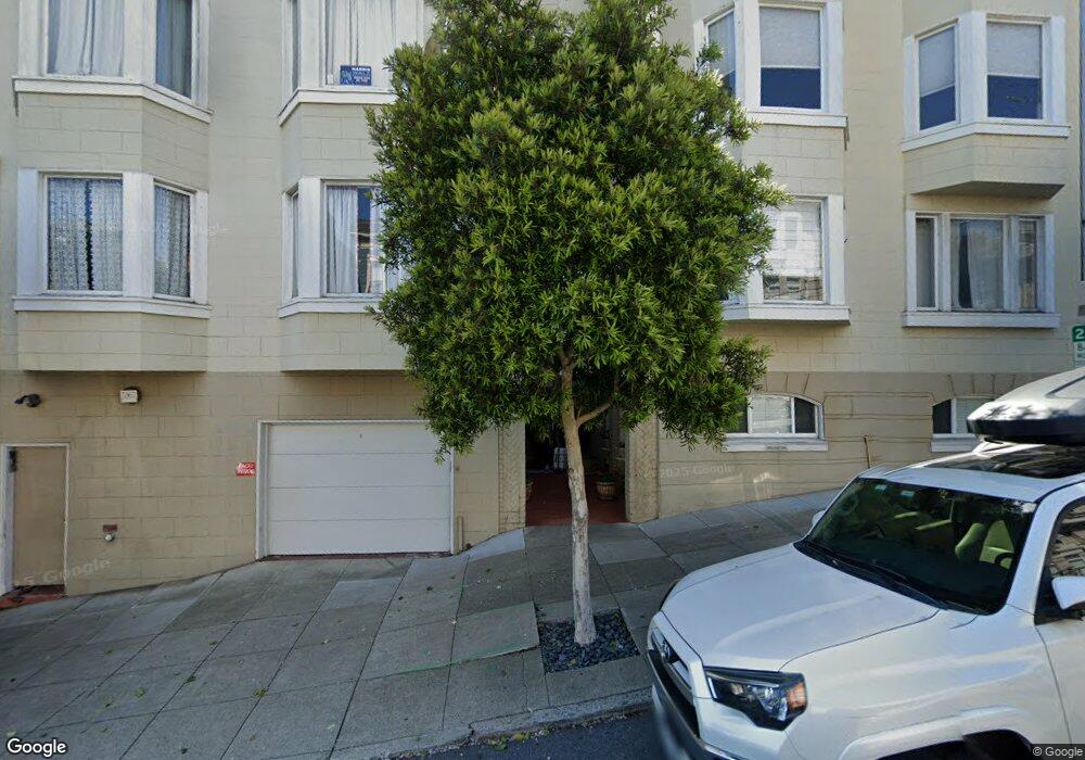
2051 Scott St Unit 304 San Francisco, CA 94115
Pacific Heights NeighborhoodEstimated Value: $719,000 - $852,000
1
Bed
1
Bath
764
Sq Ft
$1,036/Sq Ft
Est. Value
About This Home
This home is located at 2051 Scott St Unit 304, San Francisco, CA 94115 and is currently estimated at $791,802, approximately $1,036 per square foot. 2051 Scott St Unit 304 is a home located in San Francisco County with nearby schools including Cobb (William L.) Elementary School, Roosevelt Middle School, and Town School For Boys.
Ownership History
Date
Name
Owned For
Owner Type
Purchase Details
Closed on
Dec 20, 2014
Sold by
Perrin Daniel D and Neuman Caroline W
Bought by
The Perrin Family Revocable Trust
Current Estimated Value
Purchase Details
Closed on
Sep 20, 2013
Sold by
Perrin Daniel D and Neuman Caroline W
Bought by
Perrin Daniel D and Neuman Caroline W
Home Financials for this Owner
Home Financials are based on the most recent Mortgage that was taken out on this home.
Original Mortgage
$351,000
Outstanding Balance
$262,548
Interest Rate
4.46%
Mortgage Type
New Conventional
Estimated Equity
$529,254
Purchase Details
Closed on
Mar 28, 2011
Sold by
Perrin Daniel Durrance and Neuman Caroline
Bought by
Perrin Daniel D and Neuman Caroline W
Home Financials for this Owner
Home Financials are based on the most recent Mortgage that was taken out on this home.
Original Mortgage
$298,000
Interest Rate
4.9%
Mortgage Type
New Conventional
Purchase Details
Closed on
Dec 26, 2010
Sold by
Perrin Daniel Durrance
Bought by
Perrin Daniel D and Neuman Caroline W
Purchase Details
Closed on
Nov 27, 2001
Sold by
Maxwell James F
Bought by
Perrin Daniel Durrance
Home Financials for this Owner
Home Financials are based on the most recent Mortgage that was taken out on this home.
Original Mortgage
$348,000
Interest Rate
6.67%
Purchase Details
Closed on
Jul 18, 1996
Sold by
Seow Timothy and Seow Connie
Bought by
Maxwell James F
Home Financials for this Owner
Home Financials are based on the most recent Mortgage that was taken out on this home.
Original Mortgage
$167,200
Interest Rate
8%
Purchase Details
Closed on
Jan 31, 1995
Sold by
Mulholland James S
Bought by
Seow Timothy and Seow Connie
Purchase Details
Closed on
Aug 7, 1992
Sold by
Harrow Minnie and Harrow Minnie Lee
Bought by
Mulholland James S
Create a Home Valuation Report for This Property
The Home Valuation Report is an in-depth analysis detailing your home's value as well as a comparison with similar homes in the area
Home Values in the Area
Average Home Value in this Area
Purchase History
| Date | Buyer | Sale Price | Title Company |
|---|---|---|---|
| The Perrin Family Revocable Trust | -- | None Available | |
| Perrin Daniel D | -- | First American Title Company | |
| Perrin Daniel D | -- | Fidelity National Title Co | |
| Perrin Daniel Durrance | -- | Fidelity National Title Co | |
| Perrin Daniel D | -- | None Available | |
| Perrin Daniel Durrance | $348,294 | Fidelity National Title Co | |
| Maxwell James | -- | Fidelity National Title Co | |
| Maxwell James F | $176,000 | Chicago Title Co | |
| Seow Timothy | $173,000 | Chicago Title Company | |
| Mulholland James S | -- | Chicago Title Company |
Source: Public Records
Mortgage History
| Date | Status | Borrower | Loan Amount |
|---|---|---|---|
| Open | Perrin Daniel D | $351,000 | |
| Closed | Perrin Daniel Durrance | $298,000 | |
| Closed | Perrin Daniel Durrance | $348,000 | |
| Previous Owner | Maxwell James F | $167,200 |
Source: Public Records
Tax History Compared to Growth
Tax History
| Year | Tax Paid | Tax Assessment Tax Assessment Total Assessment is a certain percentage of the fair market value that is determined by local assessors to be the total taxable value of land and additions on the property. | Land | Improvement |
|---|---|---|---|---|
| 2025 | $7,429 | $573,172 | $286,586 | $286,586 |
| 2024 | $7,429 | $561,934 | $280,967 | $280,967 |
| 2023 | $7,294 | $550,916 | $275,458 | $275,458 |
| 2022 | $7,139 | $540,114 | $270,057 | $270,057 |
| 2021 | $7,010 | $529,524 | $264,762 | $264,762 |
| 2020 | $7,106 | $524,096 | $262,048 | $262,048 |
| 2019 | $6,869 | $513,820 | $256,910 | $256,910 |
| 2018 | $6,637 | $503,746 | $251,873 | $251,873 |
| 2017 | $6,261 | $493,870 | $246,935 | $246,935 |
| 2016 | $6,136 | $484,188 | $242,094 | $242,094 |
| 2015 | $6,057 | $476,916 | $238,458 | $238,458 |
| 2014 | $5,900 | $467,574 | $233,787 | $233,787 |
Source: Public Records
Map
Nearby Homes
- 2051 Scott St Unit 101
- 2046 Divisadero St
- 2735 Clay St Unit 1
- 2121 Divisadero St
- 2829 California St Unit 2
- 2221 Scott St
- 2536 California St
- 2033 Broderick St
- 2654-2656 Bush St
- 2655 Bush St Unit 603
- 2332 2334 California St
- 132 136 Presidio Ave
- 2515 Sacramento St
- 2850 Jackson St
- 2546 Jackson St
- 2825 Pine St
- 2800 Pacific Ave
- 2232 Bush St
- 2500 Steiner St Unit 3
- 2830 Pacific Ave
- 2051 Scott St Unit 102
- 2051 Scott St Unit 404
- 2051 Scott St Unit 403
- 2051 Scott St Unit 402
- 2051 Scott St Unit 401
- 2051 Scott St Unit 303
- 2051 Scott St Unit 302
- 2051 Scott St Unit 301
- 2051 Scott St Unit 204
- 2051 Scott St Unit 203
- 2051 Scott St Unit 202
- 2051 Scott St Unit 201
- 2037 Scott St
- 2039 Scott St
- 2033 Scott St Unit 2033
- 2031 Scott St Unit 2033
- 2833 Sacramento St
- 2835 Sacramento St
- 2837 Sacramento St
- 2700 California St