20517 State Highway 39 Cassville, MO 65625
Estimated Value: $217,000 - $257,000
2
Beds
2
Baths
1,296
Sq Ft
$183/Sq Ft
Est. Value
About This Home
This home is located at 20517 State Highway 39, Cassville, MO 65625 and is currently estimated at $236,574, approximately $182 per square foot. 20517 State Highway 39 is a home with nearby schools including Eunice Thomas Elementary School, Cassville Intermediate School, and Cassville Middle School.
Ownership History
Date
Name
Owned For
Owner Type
Purchase Details
Closed on
Apr 21, 2021
Sold by
Sorensen Enterprises Llc
Bought by
Mack Joseph Gregory
Current Estimated Value
Home Financials for this Owner
Home Financials are based on the most recent Mortgage that was taken out on this home.
Original Mortgage
$192,900
Outstanding Balance
$174,305
Interest Rate
3.05%
Mortgage Type
VA
Estimated Equity
$62,269
Create a Home Valuation Report for This Property
The Home Valuation Report is an in-depth analysis detailing your home's value as well as a comparison with similar homes in the area
Home Values in the Area
Average Home Value in this Area
Purchase History
| Date | Buyer | Sale Price | Title Company |
|---|---|---|---|
| Mack Joseph Gregory | -- | Barry County Abstract & Ttl |
Source: Public Records
Mortgage History
| Date | Status | Borrower | Loan Amount |
|---|---|---|---|
| Open | Mack Joseph Gregory | $192,900 |
Source: Public Records
Tax History Compared to Growth
Tax History
| Year | Tax Paid | Tax Assessment Tax Assessment Total Assessment is a certain percentage of the fair market value that is determined by local assessors to be the total taxable value of land and additions on the property. | Land | Improvement |
|---|---|---|---|---|
| 2025 | $528 | $11,128 | $1,984 | $9,144 |
| 2024 | $528 | $10,444 | $1,984 | $8,460 |
| 2023 | $528 | $10,444 | $1,984 | $8,460 |
| 2022 | $519 | $10,254 | $1,794 | $8,460 |
| 2021 | $517 | $9,874 | $1,414 | $8,460 |
| 2020 | $517 | $9,874 | $1,414 | $8,460 |
| 2018 | $509 | $9,874 | $1,414 | $8,460 |
| 2017 | $439 | $9,684 | $1,224 | $8,460 |
| 2016 | $417 | $8,953 | $1,224 | $7,729 |
| 2015 | -- | $8,953 | $1,224 | $7,729 |
| 2014 | -- | $8,953 | $1,224 | $7,729 |
| 2012 | -- | $0 | $0 | $0 |
Source: Public Records
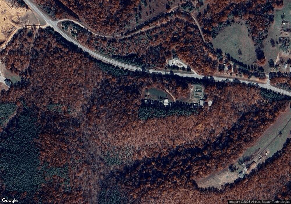
Map
Nearby Homes
- 25248 State Highway 76
- 000 State Highway 76
- 22281 Farm Road 2180
- 24461 Scenic Valley Dr
- 10 Acres Stallion Bluff Rd
- 000 Stallion Bluff Rd
- 24338 Private Road 2197
- 23590 State Highway 39
- 16478 Farm Road 1170
- 25032 Stallion Bluff Rd
- 19358 Farm Road 2145
- 000 Farm Road 2190
- 21557 Farm Road 1230
- 22800 Farm Road 1230
- 0000 Farm Road 1230
- 16257 Farm Road 2175
- Lot #108 Gumbo Woods
- 24886 State Highway 39
- 21277 Needles Eye Rd
- 21461 Needles Eye Rd
- 22337 Farm Road 2180
- 20673 State Highway 39
- 26832 State Highway 76
- 26887 State Highway 76
- 27186 State Highway 76
- 26463 State Highway 76
- 27271 State Highway 76
- 26531 State Highway 76
- 27073 State Highway 76
- 18506 Farm Road 1200
- 18615 Farm Road 1200
- 18387 Farm Road 1200
- 25997 State Highway 76
- 26018 State Highway 76
- 0 Hwy 76 Hwy Unit 648227
- 19524 State Highway 39
- 18470 Farm Road 1200
- 26012 State Highway 76
- 19315 State Highway 39
- 17353 Farm Road 1212