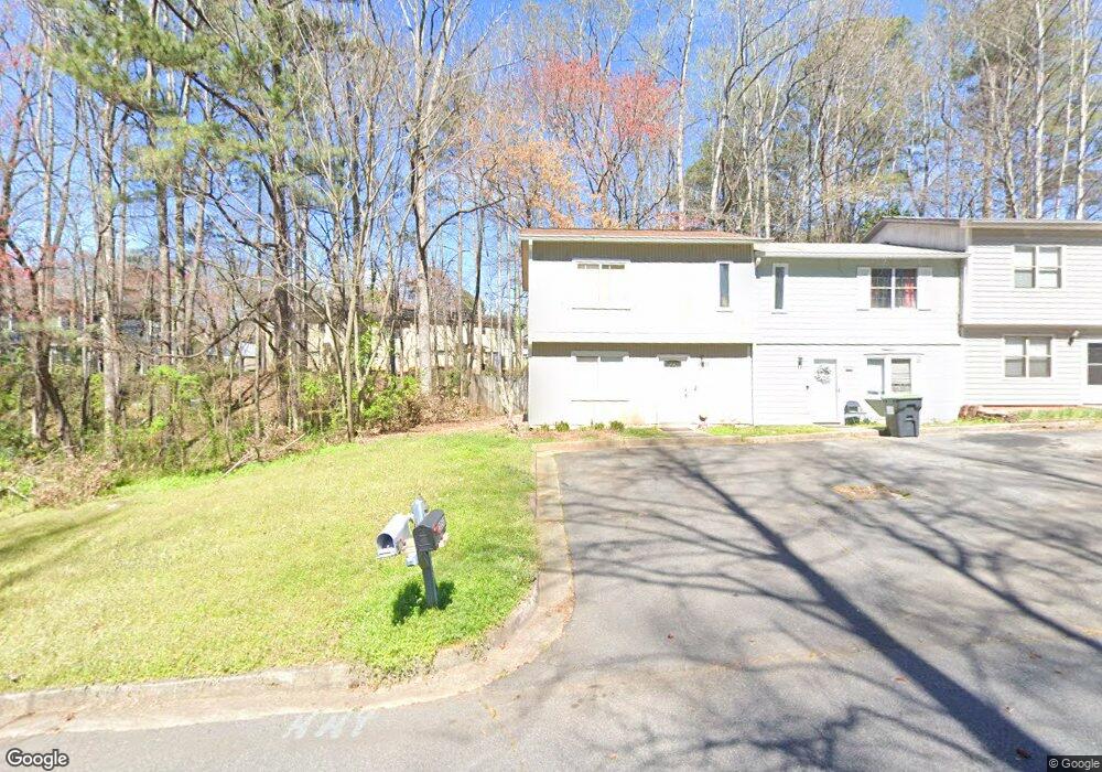
2052 Drennon Ave Austell, GA 30106
Estimated Value: $150,000 - $215,000
2
Beds
2
Baths
1,078
Sq Ft
$175/Sq Ft
Est. Value
About This Home
This home is located at 2052 Drennon Ave, Austell, GA 30106 and is currently estimated at $188,890, approximately $175 per square foot. 2052 Drennon Ave is a home located in Cobb County with nearby schools including Deerwood Elementary School, Clarkdale Elementary School, and Garrett Middle School.
Ownership History
Date
Name
Owned For
Owner Type
Purchase Details
Closed on
Apr 15, 2017
Sold by
Z
Bought by
Jmt Marietta Llc
Current Estimated Value
Purchase Details
Closed on
Apr 7, 2015
Sold by
Frasier E M Delores
Bought by
Z And C Corp Llc
Purchase Details
Closed on
Jul 24, 2003
Sold by
King Deidre L
Bought by
King Deidre L and King Taurus
Purchase Details
Closed on
Aug 26, 1996
Sold by
Secretary Of Hud
Bought by
Frasier E M Delores
Create a Home Valuation Report for This Property
The Home Valuation Report is an in-depth analysis detailing your home's value as well as a comparison with similar homes in the area
Home Values in the Area
Average Home Value in this Area
Purchase History
| Date | Buyer | Sale Price | Title Company |
|---|---|---|---|
| Jmt Marietta Llc | -- | -- | |
| Z And C Corp Llc | $22,750 | -- | |
| King Deidre L | -- | -- | |
| Frasier E M Delores | -- | -- |
Source: Public Records
Mortgage History
| Date | Status | Borrower | Loan Amount |
|---|---|---|---|
| Closed | Frasier E M Delores | $0 |
Source: Public Records
Tax History Compared to Growth
Tax History
| Year | Tax Paid | Tax Assessment Tax Assessment Total Assessment is a certain percentage of the fair market value that is determined by local assessors to be the total taxable value of land and additions on the property. | Land | Improvement |
|---|---|---|---|---|
| 2025 | $1,635 | $54,264 | $16,000 | $38,264 |
| 2024 | $1,636 | $54,264 | $16,000 | $38,264 |
| 2023 | $1,460 | $48,416 | $10,000 | $38,416 |
| 2022 | $637 | $20,992 | $4,000 | $16,992 |
| 2021 | $637 | $20,992 | $4,000 | $16,992 |
| 2020 | $597 | $19,656 | $4,000 | $15,656 |
| 2019 | $597 | $19,656 | $4,000 | $15,656 |
| 2018 | $597 | $19,656 | $4,000 | $15,656 |
| 2017 | $440 | $15,300 | $4,000 | $11,300 |
| 2016 | $440 | $15,300 | $4,000 | $11,300 |
| 2015 | $451 | $15,300 | $4,000 | $11,300 |
| 2014 | $455 | $15,300 | $0 | $0 |
Source: Public Records
Map
Nearby Homes
- 2050 Drennon Ave
- 2048 Drennon Ave
- 2046 Drennon Ave
- 2046 Drennon Ave Unit 2046
- 1981 Padgett Dr
- 1979 Padgett Dr
- 2044 Drennon Ave
- 1983 Padgett Dr
- 1975 Padgett Dr
- 1977 Padgett Dr
- 1985 Padgett Dr
- 2042 Drennon Ave
- 1987 Padgett Dr
- 2040 Drennon Ave
- 1973 Padgett Dr
- 1989 Padgett Dr
- 1991 Padgett Dr
- 1971 Padgett Dr
- 2038 Drennon Ave
- 1993 Padgett Dr