Estimated Value: $1,362,000 - $1,616,081
Studio
--
Bath
1,914
Sq Ft
$778/Sq Ft
Est. Value
About This Home
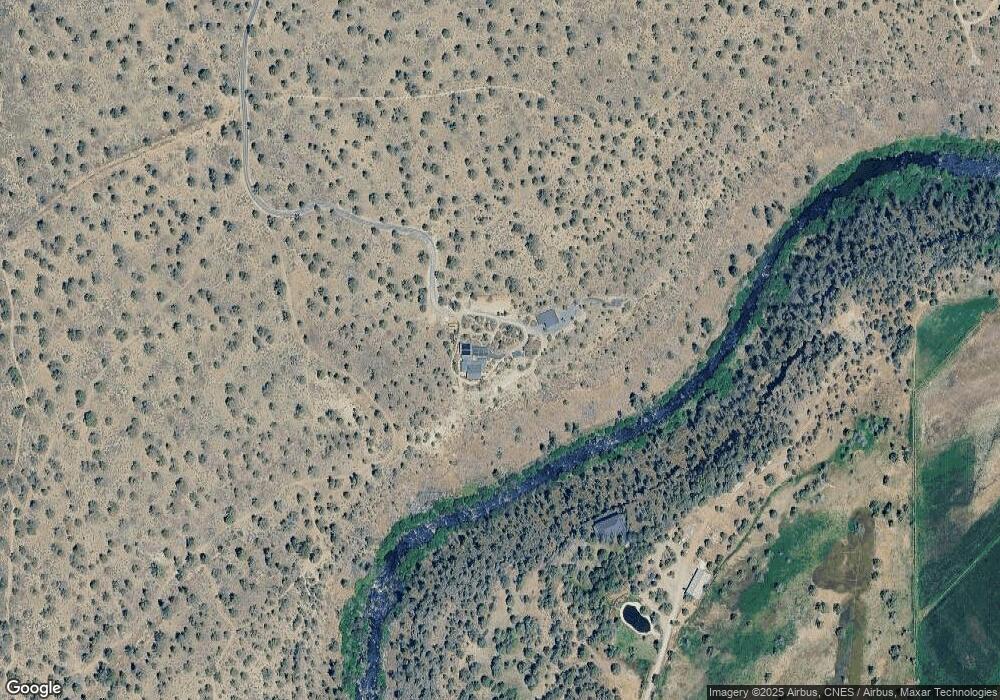
This home is located at 20545 NW Harper Rd, Bend, OR 97701 and is currently estimated at $1,489,041, approximately $777 per square foot. 20545 NW Harper Rd is a home located in Deschutes County with nearby schools including Tumalo Community School, Obsidian Middle School, and Ridgeview High School.
Ownership History
Date
Name
Owned For
Owner Type
Purchase Details
Closed on
Apr 26, 2018
Sold by
Keith Ellen
Bought by
Hillman/Herman Family Trust and Hillman
Current Estimated Value
Purchase Details
Closed on
Apr 23, 2018
Sold by
Keith Ellen
Bought by
Hillman Douglas L and The Hill Man Herman Family Trust
Purchase Details
Closed on
Jan 14, 2015
Sold by
Schroeder Kurt Lee
Bought by
Keith Ellen
Purchase Details
Closed on
Dec 31, 2014
Sold by
Schroeder Kurt
Bought by
Keith Ellen
Purchase Details
Closed on
Jan 2, 2007
Sold by
Schroeder David
Bought by
David Myron Schroeder Revocable Living T
Create a Home Valuation Report for This Property
The Home Valuation Report is an in-depth analysis detailing your home's value as well as a comparison with similar homes in the area
Purchase History
| Date | Buyer | Sale Price | Title Company |
|---|---|---|---|
| Hillman/Herman Family Trust | $485,000 | First American Title | |
| Hillman Douglas L | $485,000 | First American Title | |
| Keith Ellen | -- | First American | |
| Keith Ellen | -- | None Available | |
| David Myron Schroeder Revocable Living T | -- | None Available |
Source: Public Records
Tax History
| Year | Tax Paid | Tax Assessment Tax Assessment Total Assessment is a certain percentage of the fair market value that is determined by local assessors to be the total taxable value of land and additions on the property. | Land | Improvement |
|---|---|---|---|---|
| 2025 | $7,213 | $534,680 | -- | -- |
| 2024 | $6,880 | $519,110 | -- | -- |
| 2023 | $6,201 | $462,570 | $0 | $0 |
| 2022 | $4,215 | $186,090 | $0 | $0 |
| 2021 | $2,427 | $150,890 | $0 | $0 |
| 2020 | $1,922 | $150,890 | $0 | $0 |
| 2019 | $1,865 | $146,500 | $0 | $0 |
| 2018 | $1,822 | $142,240 | $0 | $0 |
| 2017 | $1,783 | $138,100 | $0 | $0 |
| 2016 | $1,768 | $134,080 | $0 | $0 |
| 2015 | $1,712 | $130,180 | $0 | $0 |
| 2014 | $1,668 | $126,390 | $0 | $0 |
Source: Public Records
Map
Nearby Homes
- 66255 White Rock Loop
- 66240 White Rock Loop
- 65821 Cori Way
- 21115 Young Ave
- 20420 Swalley Rd
- 20334 Arrowhead Dr
- 20440 Swalley Rd
- 21140 Arid Ave
- 66405 Cline Falls Rd
- 65655 Cline Falls Rd
- 65432 78th St
- 65415 78th St
- 65255 Swalley Rd
- 65055 Old Bend Redmond Hwy
- 65665 SW 61st St
- 66504 Gerking Market Rd
- 0 Tumalo Rd
- 20645 Tumalo Rd
- 6175 SW Mcvey Ave Unit 4
- 66505 Gerking Market Rd
Your Personal Tour Guide
Ask me questions while you tour the home.