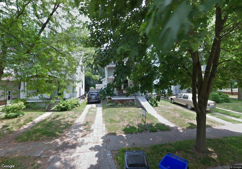
2055 Mansfield Rd Toledo, OH 43613
DeVeaux NeighborhoodEstimated Value: $91,000 - $117,000
3
Beds
1
Bath
1,128
Sq Ft
$93/Sq Ft
Est. Value
About This Home
This home is located at 2055 Mansfield Rd, Toledo, OH 43613 and is currently estimated at $104,966, approximately $93 per square foot. 2055 Mansfield Rd is a home located in Lucas County with nearby schools including McKinley Stemm Academy, Start High School, and Hope Learning Academy of Toledo.
Ownership History
Date
Name
Owned For
Owner Type
Purchase Details
Closed on
Mar 29, 2004
Sold by
Corner Bruce L and Corner Teresa L
Bought by
Losek Marc A and Coker Terri L
Current Estimated Value
Home Financials for this Owner
Home Financials are based on the most recent Mortgage that was taken out on this home.
Original Mortgage
$72,200
Outstanding Balance
$32,918
Interest Rate
5.65%
Mortgage Type
Purchase Money Mortgage
Estimated Equity
$72,048
Purchase Details
Closed on
Sep 16, 1988
Sold by
Gajdostik Frances M and Julie A*
Create a Home Valuation Report for This Property
The Home Valuation Report is an in-depth analysis detailing your home's value as well as a comparison with similar homes in the area
Home Values in the Area
Average Home Value in this Area
Purchase History
| Date | Buyer | Sale Price | Title Company |
|---|---|---|---|
| Losek Marc A | $76,000 | Louisville Title Agency For | |
| -- | $34,000 | -- |
Source: Public Records
Mortgage History
| Date | Status | Borrower | Loan Amount |
|---|---|---|---|
| Open | Losek Marc A | $72,200 |
Source: Public Records
Tax History
| Year | Tax Paid | Tax Assessment Tax Assessment Total Assessment is a certain percentage of the fair market value that is determined by local assessors to be the total taxable value of land and additions on the property. | Land | Improvement |
|---|---|---|---|---|
| 2025 | -- | $24,430 | $6,895 | $17,535 |
| 2024 | $755 | $24,430 | $6,895 | $17,535 |
| 2023 | $1,249 | $19,180 | $4,830 | $14,350 |
| 2022 | $1,248 | $19,180 | $4,830 | $14,350 |
| 2021 | $1,278 | $19,180 | $4,830 | $14,350 |
| 2020 | $1,376 | $18,375 | $4,620 | $13,755 |
| 2019 | $1,343 | $18,375 | $4,620 | $13,755 |
| 2018 | $1,353 | $18,375 | $4,620 | $13,755 |
| 2017 | $1,377 | $17,955 | $4,515 | $13,440 |
| 2016 | $1,375 | $51,300 | $12,900 | $38,400 |
| 2015 | $1,362 | $51,300 | $12,900 | $38,400 |
| 2014 | $1,129 | $17,960 | $4,520 | $13,440 |
| 2013 | $1,129 | $17,960 | $4,520 | $13,440 |
Source: Public Records
Map
Nearby Homes
- 2040 Fairfax Rd
- 2045 Fairfax Rd
- 2005 Marlow Rd
- 2110 Wychwood St
- 2146 Marlow Rd
- 1952 Fairfax Rd
- 1929 Marlow Rd
- 1953 Talbot St
- 3664 Sherbrooke Rd
- 2207 Marlow Rd
- 3433 Upton Ave
- 3720 Kelly Ave
- 3621 Sherbrooke Rd
- 1939 Balkan Place
- 3430 Upton Ave
- 2012 Berdan Ave
- 2035 Barrows St
- 1831 Talbot St
- 1822 Wychwood St
- 1829 Talbot St
- 2059 Mansfield Rd
- 2051 Mansfield Rd
- 2049 Mansfield Rd
- 3514 Westland Ave
- 2045 Mansfield Rd
- 2101 Mansfield Rd
- 2041 Mansfield Rd
- 2058 Marlow Rd
- 2052 Marlow Rd
- 2105 Mansfield Rd
- 2037 Mansfield Rd
- 2046 Marlow Rd
- 2054 Mansfield Rd
- 2052 Mansfield Rd
- 2060 Mansfield Rd
- 2044 Marlow Rd
- 2102 Marlow Rd
- 2035 Mansfield Rd
- 2048 Mansfield Rd
- 2109 Mansfield Rd
Your Personal Tour Guide
Ask me questions while you tour the home.