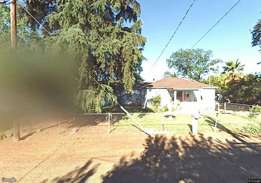
2057 N Patterson Rd Stockton, CA 95215
Estimated Value: $249,000 - $616,000
--
Bed
--
Bath
1,192
Sq Ft
$381/Sq Ft
Est. Value
About This Home
This home is located at 2057 N Patterson Rd, Stockton, CA 95215 and is currently estimated at $454,199, approximately $381 per square foot. 2057 N Patterson Rd is a home located in San Joaquin County with nearby schools including Glenwood Elementary School and Linden High School.
Ownership History
Date
Name
Owned For
Owner Type
Purchase Details
Closed on
Jan 17, 2023
Sold by
Mancuso Harold
Bought by
Harold Mancuso Revocable Trust
Current Estimated Value
Purchase Details
Closed on
Sep 10, 2002
Sold by
Mancuso Marguerite and Mancuso Roy
Bought by
Mancuso Harold and Gwinnup Janell
Purchase Details
Closed on
Dec 4, 1998
Sold by
Marguerite Mancuso
Bought by
Mancuso Marguerite and Mancuso Roy Gene
Purchase Details
Closed on
Sep 15, 1998
Sold by
Mancuso Harold B
Bought by
Mancuso Marguerite
Create a Home Valuation Report for This Property
The Home Valuation Report is an in-depth analysis detailing your home's value as well as a comparison with similar homes in the area
Home Values in the Area
Average Home Value in this Area
Purchase History
| Date | Buyer | Sale Price | Title Company |
|---|---|---|---|
| Harold Mancuso Revocable Trust | -- | None Listed On Document | |
| Mancuso Harold | -- | -- | |
| Mancuso Marguerite | -- | -- | |
| Mancuso Marguerite | -- | -- |
Source: Public Records
Tax History Compared to Growth
Tax History
| Year | Tax Paid | Tax Assessment Tax Assessment Total Assessment is a certain percentage of the fair market value that is determined by local assessors to be the total taxable value of land and additions on the property. | Land | Improvement |
|---|---|---|---|---|
| 2025 | $1,813 | $157,537 | $105,278 | $52,259 |
| 2024 | $1,760 | $154,449 | $103,214 | $51,235 |
| 2023 | $1,737 | $151,422 | $101,191 | $50,231 |
| 2022 | $1,717 | $148,454 | $99,207 | $49,247 |
| 2021 | $1,696 | $145,544 | $97,262 | $48,282 |
| 2020 | $1,696 | $144,052 | $96,265 | $47,787 |
| 2019 | $1,670 | $141,228 | $94,378 | $46,850 |
| 2018 | $1,500 | $138,460 | $92,528 | $45,932 |
| 2017 | $1,468 | $135,746 | $90,714 | $45,032 |
| 2016 | $1,445 | $133,085 | $88,936 | $44,149 |
| 2014 | $1,410 | $128,518 | $85,884 | $42,634 |
Source: Public Records
Map
Nearby Homes
- 7705 Orford Rd
- 2195 Baldwin Ln
- 1660 White Ln
- 5970 E Highway 26
- 334 N Tulsa Ave
- 11818 Ada Ave
- 11550 Norman Ave
- 5852 Basin St
- 2193 N Jack Tone Rd
- 803 Bird Ave
- 5273 E Marsh St
- 5835 Cherokee Rd Unit 61
- 5835 Cherokee Rd Unit 41
- 5835 Cherokee Rd Unit 7
- 3616 Towers Place
- 5005 E Washington St
- 778 S Rapallo St
- 3514 N Cherryland Ave
- 0 Towers Place
- 5186 Horner Ave
- 2029 N Patterson Rd
- 2066 N Patterson Rd
- 2036 N Patterson Rd
- 2052 N Patterson Rd
- 2016 N Patterson Rd
- 2007 N Patterson Rd
- 1998 N Patterson Rd
- 1982 N Patterson Rd
- 1958 N Patterson Rd
- 1999 N Patterson Rd
- 1929 N Patterson Rd
- 1901 N Patterson Rd
- 1894 N Patterson Rd
- 1867 N Patterson Rd
- 9103 Patterson Ct
- 9103 Patterson Ave
- 9075 Patterson Ct
- 1901 Patterson Ave
- 9037 Patterson Ct
- 1829 N Patterson Rd