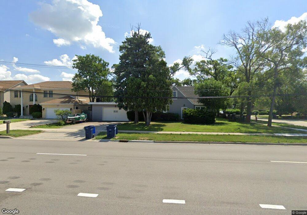
2057 S Wolf Rd Des Plaines, IL 60018
Estimated Value: $347,588 - $428,000
2
Beds
2
Baths
1,110
Sq Ft
$349/Sq Ft
Est. Value
About This Home
This home is located at 2057 S Wolf Rd, Des Plaines, IL 60018 and is currently estimated at $387,147, approximately $348 per square foot. 2057 S Wolf Rd is a home located in Cook County with nearby schools including Plainfield Elementary School, Algonquin Middle School, and Maine West High School.
Ownership History
Date
Name
Owned For
Owner Type
Purchase Details
Closed on
Dec 28, 2001
Sold by
Parkway Bank & Trust Company
Bought by
Brogni Aaron M and Brogni Jadeline G
Current Estimated Value
Home Financials for this Owner
Home Financials are based on the most recent Mortgage that was taken out on this home.
Original Mortgage
$160,000
Outstanding Balance
$66,313
Interest Rate
7.24%
Estimated Equity
$320,834
Create a Home Valuation Report for This Property
The Home Valuation Report is an in-depth analysis detailing your home's value as well as a comparison with similar homes in the area
Home Values in the Area
Average Home Value in this Area
Purchase History
| Date | Buyer | Sale Price | Title Company |
|---|---|---|---|
| Brogni Aaron M | $200,000 | Marquis Title |
Source: Public Records
Mortgage History
| Date | Status | Borrower | Loan Amount |
|---|---|---|---|
| Open | Brogni Aaron M | $160,000 |
Source: Public Records
Tax History Compared to Growth
Tax History
| Year | Tax Paid | Tax Assessment Tax Assessment Total Assessment is a certain percentage of the fair market value that is determined by local assessors to be the total taxable value of land and additions on the property. | Land | Improvement |
|---|---|---|---|---|
| 2024 | $4,663 | $21,000 | $6,929 | $14,071 |
| 2023 | $4,524 | $21,000 | $6,929 | $14,071 |
| 2022 | $4,524 | $21,000 | $6,929 | $14,071 |
| 2021 | $3,910 | $16,049 | $9,061 | $6,988 |
| 2020 | $3,912 | $16,049 | $9,061 | $6,988 |
| 2019 | $3,930 | $18,033 | $9,061 | $8,972 |
| 2018 | $5,393 | $21,469 | $7,995 | $13,474 |
| 2017 | $5,316 | $21,469 | $7,995 | $13,474 |
| 2016 | $5,272 | $21,469 | $7,995 | $13,474 |
| 2015 | $4,782 | $18,442 | $6,929 | $11,513 |
| 2014 | $4,698 | $18,442 | $6,929 | $11,513 |
| 2013 | $4,563 | $18,442 | $6,929 | $11,513 |
Source: Public Records
Map
Nearby Homes
- 614 Birchwood Ave
- 2243 S Wolf Rd
- 2181 Plainfield Dr
- 1596 Oxford Rd
- 807 Fairmont Ct
- 773 E Lincoln Ave
- 505 Forest Ave
- 1783 Lee St
- 1050 E Oakton St
- 991 Wicke Ave
- 1394 Carol Ln
- 2017 Pine St Unit B
- 1205 S Wolf Rd
- 1582 Pennsylvania Ave Unit 3
- 239 Dover Dr
- 1507 Pennsylvania Ave
- 1696 S Elm St
- 1632 S Elm St
- 1689 S Elm St
- 1724 Illinois St
- 604 Birchwood Ave
- 606 Birchwood Ave
- 2031 S Wolf Rd
- 601 Birchwood Ave
- 610 Birchwood Ave
- 605 Birchwood Ave
- 605 Howard Ave
- 2019 S Wolf Rd
- 607 Howard Ave
- 612 Birchwood Ave
- 2110 Elmira Ave
- 609 Howard Ave
- 2121 S Wolf Rd
- 615 Howard Ave
- 2122 Elmira Ave
- 616 Birchwood Ave
- 619 Howard Ave
- 2129 S Wolf Rd
- 618 Birchwood Ave