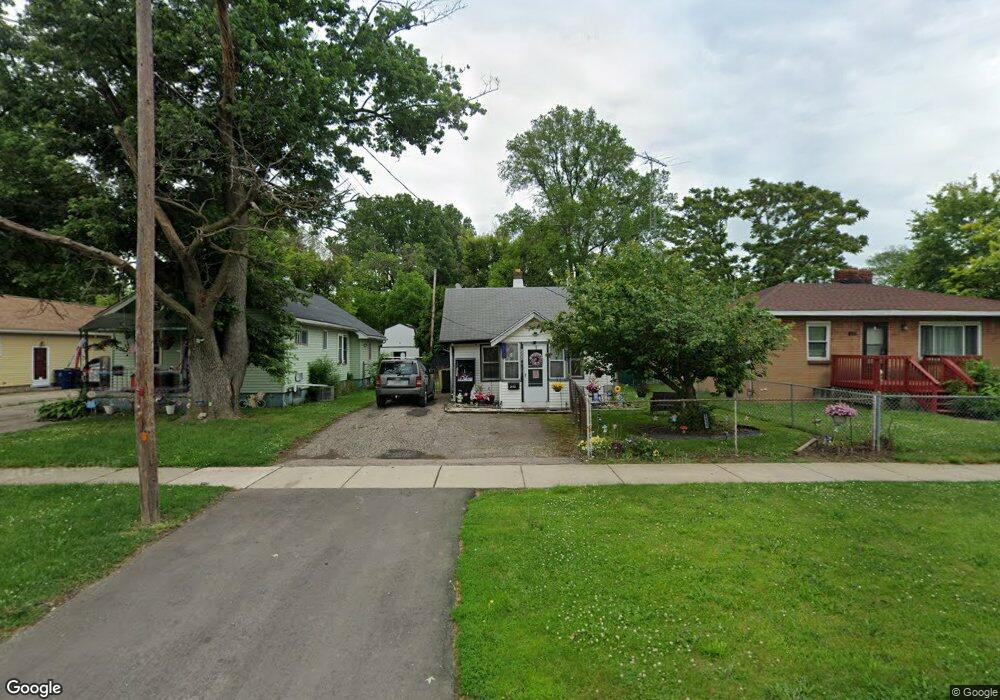
2058 N Averill Ave Flint, MI 48506
Potter Longway NeighborhoodEstimated Value: $35,000 - $54,000
2
Beds
1
Bath
640
Sq Ft
$70/Sq Ft
Est. Value
About This Home
This home is located at 2058 N Averill Ave, Flint, MI 48506 and is currently estimated at $44,934, approximately $70 per square foot. 2058 N Averill Ave is a home located in Genesee County with nearby schools including Potter School, Richfield Public School Academy, and Flex High Burton.
Ownership History
Date
Name
Owned For
Owner Type
Purchase Details
Closed on
May 2, 2006
Sold by
Stevens Ronald G and Ronald G Stevens Trust
Bought by
Jasik Jill A
Current Estimated Value
Home Financials for this Owner
Home Financials are based on the most recent Mortgage that was taken out on this home.
Original Mortgage
$24,750
Interest Rate
6.56%
Mortgage Type
Purchase Money Mortgage
Purchase Details
Closed on
Nov 16, 2004
Sold by
Stevens Ronald G
Bought by
Jasik Jill A
Home Financials for this Owner
Home Financials are based on the most recent Mortgage that was taken out on this home.
Original Mortgage
$19,165
Interest Rate
9%
Mortgage Type
Seller Take Back
Purchase Details
Closed on
Dec 16, 1998
Sold by
Stevens G Stevens R and Stevens P
Bought by
Stevens Ronald G and The Ronald G Stevens Trust
Create a Home Valuation Report for This Property
The Home Valuation Report is an in-depth analysis detailing your home's value as well as a comparison with similar homes in the area
Home Values in the Area
Average Home Value in this Area
Purchase History
| Date | Buyer | Sale Price | Title Company |
|---|---|---|---|
| Jasik Jill A | $19,900 | None Available | |
| Jasik Jill A | $19,900 | -- | |
| Stevens Ronald G | -- | First American Title |
Source: Public Records
Mortgage History
| Date | Status | Borrower | Loan Amount |
|---|---|---|---|
| Closed | Jasik Jill A | $24,750 | |
| Previous Owner | Jasik Jill A | $19,165 |
Source: Public Records
Tax History
| Year | Tax Paid | Tax Assessment Tax Assessment Total Assessment is a certain percentage of the fair market value that is determined by local assessors to be the total taxable value of land and additions on the property. | Land | Improvement |
|---|---|---|---|---|
| 2025 | $560 | $16,400 | $0 | $0 |
| 2024 | $522 | $14,600 | $0 | $0 |
| 2023 | $521 | $11,400 | $0 | $0 |
| 2022 | $0 | $9,000 | $0 | $0 |
| 2021 | $532 | $8,400 | $0 | $0 |
| 2020 | $495 | $7,100 | $0 | $0 |
| 2019 | $492 | $5,600 | $0 | $0 |
| 2018 | $457 | $4,600 | $0 | $0 |
| 2017 | $481 | $0 | $0 | $0 |
| 2016 | $443 | $0 | $0 | $0 |
| 2015 | -- | $0 | $0 | $0 |
| 2014 | -- | $0 | $0 | $0 |
| 2012 | -- | $7,100 | $0 | $0 |
Source: Public Records
Map
Nearby Homes
- 3232 Dale Ave
- 3229 Holly Ave
- 3213 Holly Ave
- 3205 Holly Ave
- 2002 Branch Rd
- 3149 Whittier Ave
- 3617 Davison Rd
- 3421 Brewster St
- 3739 Marmion Ave
- 3214 Maryland Ave
- 3740 Ivanhoe Ave
- 3813 Holly Ave
- 3806 Pitkin Ave
- 3602 Dakota Ave
- 2719 Branch Rd
- 2146 N Center Rd
- 3809 Delaware Ave
- 3018 Dakota Ave
- 2211 Torrance St
- 2601 Illinois Ave
- 2062 N Averill Ave
- 2052 N Averill Ave
- 3311 Dale Ave
- 2066 N Averill Ave
- 3315 Dale Ave
- 3316 Holly Ave
- 3319 Dale Ave
- 3312 Dale Ave
- 3320 Holly Ave
- 2057 N Averill Ave
- 2061 N Averill Ave
- 2047 N Averill Ave
- 2051 N Averill Ave
- 2065 N Averill Ave
- 2102 N Averill Ave
- 2012 N Averill Ave
- 3316 Dale Ave
- 3323 Dale Ave
- 3324 Holly Ave
- 3311 Holly Ave