2059 Cook Rd Hastings, MI 49058
Estimated Value: $240,000 - $351,000
3
Beds
2
Baths
1,736
Sq Ft
$158/Sq Ft
Est. Value
About This Home
This home is located at 2059 Cook Rd, Hastings, MI 49058 and is currently estimated at $274,310, approximately $158 per square foot. 2059 Cook Rd is a home located in Barry County with nearby schools including Hastings High School, St. Rose of Lima School, and Hastings Adventist Elementary School.
Ownership History
Date
Name
Owned For
Owner Type
Purchase Details
Closed on
Apr 4, 2007
Sold by
Cary Mary I and Cary Robert A
Bought by
Cary Susan L
Current Estimated Value
Purchase Details
Closed on
Jun 28, 2005
Sold by
Sytsma James P and Sytsma Florence J
Bought by
Woods Veronica
Purchase Details
Closed on
Mar 18, 2005
Sold by
Stanton Albert E and Stanton Belinda C
Bought by
Cary Robert A and Cary Mary I
Create a Home Valuation Report for This Property
The Home Valuation Report is an in-depth analysis detailing your home's value as well as a comparison with similar homes in the area
Home Values in the Area
Average Home Value in this Area
Purchase History
| Date | Buyer | Sale Price | Title Company |
|---|---|---|---|
| Cary Susan L | -- | None Available | |
| Woods Veronica | -- | -- | |
| Cary Robert A | $132,000 | Lighthouse Title Inc |
Source: Public Records
Tax History Compared to Growth
Tax History
| Year | Tax Paid | Tax Assessment Tax Assessment Total Assessment is a certain percentage of the fair market value that is determined by local assessors to be the total taxable value of land and additions on the property. | Land | Improvement |
|---|---|---|---|---|
| 2025 | $1,321 | $119,200 | $0 | $0 |
| 2024 | $1,438 | $107,100 | $0 | $0 |
| 2023 | $1,321 | $76,800 | $0 | $0 |
| 2022 | $1,321 | $76,800 | $0 | $0 |
| 2021 | $1,321 | $80,900 | $0 | $0 |
| 2020 | $1,335 | $68,900 | $0 | $0 |
| 2019 | $1,335 | $63,800 | $0 | $0 |
| 2018 | $0 | $63,600 | $0 | $0 |
| 2017 | $0 | $59,100 | $0 | $0 |
| 2016 | -- | $54,800 | $0 | $0 |
| 2015 | -- | $50,100 | $0 | $0 |
| 2014 | -- | $50,100 | $0 | $0 |
Source: Public Records
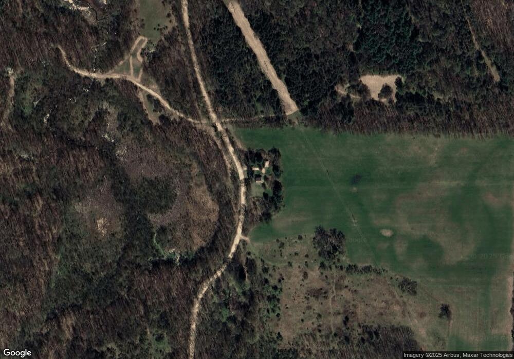
Map
Nearby Homes
- 641 W Quimby Rd
- 236 W Nelson St
- 1969 Campground Rd
- 2050 Tanner Lake Rd
- 331 W South St
- 2101 Maple Ln
- 1002 S Broadway St
- 720 W Bond St
- 736 W Grand St
- 610 S Park St
- 504 S Washington St
- 720 S Jefferson St Unit 722
- 932 Redwood Dr
- 916 Wintergreen Dr
- 1325 S Montgomery St
- 413 E Madison St
- 1634 Lavender Dr
- 112 E Green St
- 502 W State St
- 838 S Dibble St
- 2177 Cook Rd
- 2351 Cook Rd
- 1049 Hall Rd
- 2675 Cook Rd
- 1069 Yeckley Rd
- 1856 S Broadway Rd
- 1111 Yeckley Rd
- 2020 S Broadway Rd
- 2020 S Broadway Rd
- 0 Knickerbocker Dr Unit 23017884
- 0 Lakefront Dr Unit 65013062866
- 0 Lakefront Dr Unit 65013027676
- 0 Barber Road Parcel Unit 65018042202
- 0 Barber Road Parcel Unit 65017013031
- 0 Parcel 1 & 2 Farrel Rd Unit 65019027311
- 0 Parcel E Wilkins Rd Unit 66016004876
- 0 Knickerbocker Dr Unit 65016013047
- 123 None
- 0 Lakefront Dr Unit M13027676
- 0 E M 79 Hwy Unit M13061238