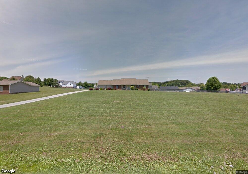
206 Independence St Springfield, TN 37172
Estimated Value: $343,869 - $472,000
Studio
2
Baths
1,568
Sq Ft
$259/Sq Ft
Est. Value
About This Home
This home is located at 206 Independence St, Springfield, TN 37172 and is currently estimated at $405,467, approximately $258 per square foot. 206 Independence St is a home located in Robertson County with nearby schools including Robert F. Woodall Elementary School, White House Heritage Elementary School, and White House Heritage High School.
Ownership History
Date
Name
Owned For
Owner Type
Purchase Details
Closed on
Jun 28, 2010
Sold by
Nicholson Richard Donald
Bought by
Nicholson Cynthia
Current Estimated Value
Home Financials for this Owner
Home Financials are based on the most recent Mortgage that was taken out on this home.
Original Mortgage
$103,600
Outstanding Balance
$68,210
Interest Rate
4.77%
Estimated Equity
$337,257
Purchase Details
Closed on
Dec 4, 1997
Sold by
Tony Mantor
Bought by
Nicholson Richard D
Home Financials for this Owner
Home Financials are based on the most recent Mortgage that was taken out on this home.
Original Mortgage
$97,650
Interest Rate
7.19%
Purchase Details
Closed on
Mar 11, 1996
Sold by
Red-Wood Dev Inc
Bought by
Tony Mantor
Purchase Details
Closed on
May 7, 1987
Bought by
Red-Wood Dev Inc
Create a Home Valuation Report for This Property
The Home Valuation Report is an in-depth analysis detailing your home's value as well as a comparison with similar homes in the area
Home Values in the Area
Average Home Value in this Area
Purchase History
| Date | Buyer | Sale Price | Title Company |
|---|---|---|---|
| Nicholson Cynthia | -- | -- | |
| Nicholson Richard D | $108,500 | -- | |
| Tony Mantor | $12,500 | -- | |
| Red-Wood Dev Inc | -- | -- |
Source: Public Records
Mortgage History
| Date | Status | Borrower | Loan Amount |
|---|---|---|---|
| Open | Red-Wood Dev Inc | $103,600 | |
| Previous Owner | Red-Wood Dev Inc | $97,650 |
Source: Public Records
Tax History
| Year | Tax Paid | Tax Assessment Tax Assessment Total Assessment is a certain percentage of the fair market value that is determined by local assessors to be the total taxable value of land and additions on the property. | Land | Improvement |
|---|---|---|---|---|
| 2025 | $1,477 | $82,075 | $21,250 | $60,825 |
| 2024 | $1,477 | $82,075 | $21,250 | $60,825 |
| 2023 | $1,477 | $82,075 | $21,250 | $60,825 |
| 2022 | $1,486 | $57,675 | $10,775 | $46,900 |
| 2021 | $1,486 | $57,675 | $10,775 | $46,900 |
| 2020 | $1,486 | $57,675 | $10,775 | $46,900 |
| 2019 | $1,486 | $57,675 | $10,775 | $46,900 |
| 2018 | $1,486 | $57,675 | $10,775 | $46,900 |
| 2017 | $1,286 | $41,675 | $9,200 | $32,475 |
| 2016 | $1,286 | $41,675 | $9,200 | $32,475 |
| 2015 | $1,234 | $41,675 | $9,200 | $32,475 |
| 2014 | $1,234 | $41,675 | $9,200 | $32,475 |
Source: Public Records
Map
Nearby Homes
- 102 Pennsylvania Ave
- 7206 Lang Ave
- 7032 Lang Ave
- 7062 Lang Ave
- 7026 Lang Ave
- 6059 Japonica Ln
- 6065 Japonica Ln
- 6719 Japonica Ln
- 6685 Japonica Ln
- 2354 Quinn Dr
- 5047 Espy Ave
- 6675 Japonica Ln
- 6633 Japonica Ln
- 6623 Japonica Ln
- 6615 Japonica Ln
- 6605 Japonica Ln
- 6621 Japonica Ln
- 6595 Japonica Ln
- 6619 Japonica Ln
- 6617 Japonica Ln
- 4175 Bethlehem Rd
- 204 Independence St
- 4181 Bethlehem Rd
- 208 Independence St
- 4169 Bethlehem Rd
- 4203 Bethlehem Rd
- 207 Independence St
- 205 Independence St
- 8435 Bethlehem Rd
- 4161 Bethlehem Rd
- 4161 Bethlehem Rd
- 202 Independence St
- 203 Independence St
- 209 Independence St
- 210 Independence St
- 211 Independence St
- 4155 Bethlehem Rd
- 200 Independence St
- 0 Independence St
- 4196 Bethlehem Rd
Your Personal Tour Guide
Ask me questions while you tour the home.