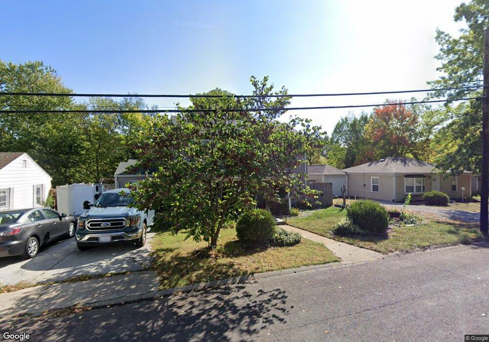
206 Pershing Rd Columbia, MO 65203
Estimated Value: $221,000 - $331,000
3
Beds
1
Bath
1,529
Sq Ft
$186/Sq Ft
Est. Value
About This Home
This home is located at 206 Pershing Rd, Columbia, MO 65203 and is currently estimated at $283,649, approximately $185 per square foot. 206 Pershing Rd is a home located in Boone County with nearby schools including West Boulevard Elementary School, West Middle School, and David H. Hickman High School.
Ownership History
Date
Name
Owned For
Owner Type
Purchase Details
Closed on
Aug 9, 2016
Sold by
Leslie Uttewrback Ronal W and Leslie Uttewrback Margaret
Bought by
Utteerbck Kirk Edmond and Athanassion Katheine
Current Estimated Value
Purchase Details
Closed on
Feb 3, 2005
Sold by
Highbarger Thomas R and Highbarger Teresa L
Bought by
Curnes Lorrie
Home Financials for this Owner
Home Financials are based on the most recent Mortgage that was taken out on this home.
Original Mortgage
$58,565
Interest Rate
9.34%
Mortgage Type
Adjustable Rate Mortgage/ARM
Create a Home Valuation Report for This Property
The Home Valuation Report is an in-depth analysis detailing your home's value as well as a comparison with similar homes in the area
Home Values in the Area
Average Home Value in this Area
Purchase History
| Date | Buyer | Sale Price | Title Company |
|---|---|---|---|
| Utteerbck Kirk Edmond | -- | Booen Central Title Co | |
| Curnes Lorrie | -- | Boone Central Title Company |
Source: Public Records
Mortgage History
| Date | Status | Borrower | Loan Amount |
|---|---|---|---|
| Previous Owner | Curnes Lorrie | $58,565 |
Source: Public Records
Tax History Compared to Growth
Tax History
| Year | Tax Paid | Tax Assessment Tax Assessment Total Assessment is a certain percentage of the fair market value that is determined by local assessors to be the total taxable value of land and additions on the property. | Land | Improvement |
|---|---|---|---|---|
| 2025 | $3,262 | $49,818 | $1,976 | $47,842 |
| 2024 | $2,935 | $43,510 | $1,976 | $41,534 |
| 2023 | $2,911 | $43,510 | $1,976 | $41,534 |
| 2022 | $2,597 | $38,855 | $1,976 | $36,879 |
| 2021 | $2,602 | $38,855 | $1,976 | $36,879 |
| 2020 | $2,563 | $35,970 | $1,976 | $33,994 |
| 2019 | $2,563 | $35,970 | $1,976 | $33,994 |
| 2018 | $2,390 | $0 | $0 | $0 |
| 2017 | $2,361 | $33,307 | $1,976 | $31,331 |
| 2016 | $1,178 | $16,188 | $1,976 | $14,212 |
| 2015 | $1,036 | $15,428 | $1,976 | $13,452 |
| 2014 | -- | $15,428 | $1,976 | $13,452 |
Source: Public Records
Map
Nearby Homes
- 1301 W Ash St
- 1304 W Worley St
- 20 Clinton Dr
- 1609 W Broadway
- 1208 London Dr
- 301 Crown Point
- 812 W Broadway
- 4 Rockingham Dr
- 1108 W Stewart Rd
- 502 W Worley St
- 709 Mikel St
- 213 Longfellow Ln
- 401 W Worley St
- 303 S Glenwood Ave
- 705 Westridge Dr
- 605 Jackson St
- 1007 Jefferson St
- 1402 W Rollins Rd
- 407 Oak St
- 211 Bourn Ave
- 204 Pershing Rd
- 208 Pershing Rd
- 207 Pinewood Dr
- 209 Pinewood Dr
- 205 Pinewood Dr
- 1300 Pearl Ave
- 203 Pinewood Dr
- 1215 W Ash St
- 1302 Pearl Ave
- 301 Pershing Rd
- 1211 W Ash St
- 1303 W Ash St
- 303 Pershing Rd
- 1304 Pearl Ave
- 208 Pinewood Dr
- 206 Pinewood Dr
- 204 Pinewood Dr
- 1305 W Ash St
- 305 Pershing Rd
- 202 Pinewood Dr