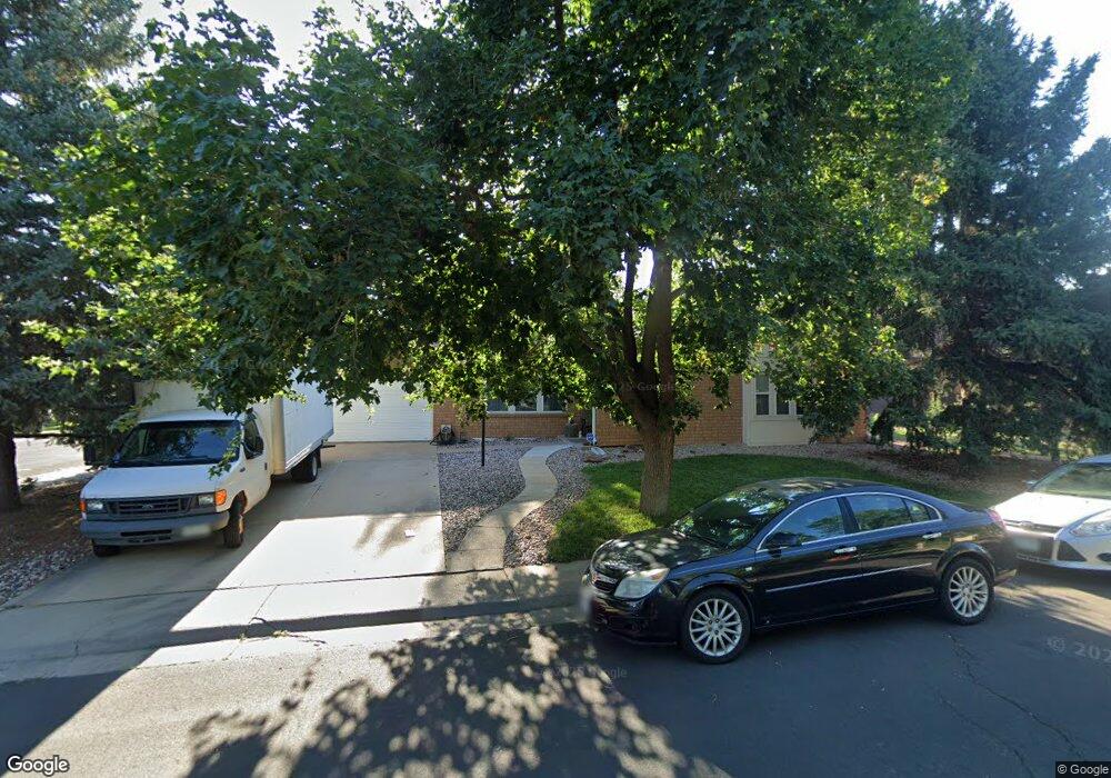
206 S Tucson Cir Aurora, CO 80012
Aurora Hills NeighborhoodEstimated Value: $401,000 - $536,000
4
Beds
2
Baths
1,976
Sq Ft
$241/Sq Ft
Est. Value
About This Home
This home is located at 206 S Tucson Cir, Aurora, CO 80012 and is currently estimated at $475,547, approximately $240 per square foot. 206 S Tucson Cir is a home located in Arapahoe County with nearby schools including Aurora Hills Middle School, Aurora Central High School, and Lotus School for Excellence.
Ownership History
Date
Name
Owned For
Owner Type
Purchase Details
Closed on
Dec 23, 1998
Sold by
Hahn George W and Hahn Evelyn M
Bought by
Staebell Bernard J and Staebell Mary Ann
Current Estimated Value
Home Financials for this Owner
Home Financials are based on the most recent Mortgage that was taken out on this home.
Original Mortgage
$135,200
Outstanding Balance
$28,480
Interest Rate
6.74%
Estimated Equity
$447,067
Purchase Details
Closed on
Feb 27, 1989
Bought by
Conversion Arapco
Create a Home Valuation Report for This Property
The Home Valuation Report is an in-depth analysis detailing your home's value as well as a comparison with similar homes in the area
Home Values in the Area
Average Home Value in this Area
Purchase History
| Date | Buyer | Sale Price | Title Company |
|---|---|---|---|
| Staebell Bernard J | $169,025 | -- | |
| Conversion Arapco | -- | -- |
Source: Public Records
Mortgage History
| Date | Status | Borrower | Loan Amount |
|---|---|---|---|
| Open | Staebell Bernard J | $135,200 |
Source: Public Records
Tax History
| Year | Tax Paid | Tax Assessment Tax Assessment Total Assessment is a certain percentage of the fair market value that is determined by local assessors to be the total taxable value of land and additions on the property. | Land | Improvement |
|---|---|---|---|---|
| 2025 | $2,432 | $28,788 | -- | -- |
| 2024 | $2,359 | $32,080 | -- | -- |
| 2023 | $2,359 | $32,080 | $0 | $0 |
| 2022 | $1,867 | $25,542 | $0 | $0 |
| 2021 | $1,927 | $25,542 | $0 | $0 |
| 2020 | $1,944 | $25,818 | $0 | $0 |
| 2019 | $1,933 | $25,818 | $0 | $0 |
| 2018 | $1,477 | $21,168 | $0 | $0 |
| 2017 | $1,285 | $21,168 | $0 | $0 |
| 2016 | $989 | $18,491 | $0 | $0 |
| 2015 | $955 | $18,491 | $0 | $0 |
| 2014 | -- | $14,726 | $0 | $0 |
| 2013 | -- | $15,970 | $0 | $0 |
Source: Public Records
Map
Nearby Homes
- 12802 E Nevada Cir
- 365 S Ursula Way
- 418 S Wheeling Way
- 373 S Troy St
- 429 S Victor Way
- 225 Tucson St
- 151 Potomac St
- 262 Victor St
- 12403 E Nevada Ave
- 300 Ursula St
- 13086 E Alaska Ave
- 12466 E Alaska Place
- 12446 E Alaska Place
- 365 Titan St
- 14241 E 1st Dr Unit 304
- 14211 E 1st Dr Unit 307
- 14211 E 1st Dr Unit 102
- 12024 E Maple Ave
- 14251 E 1st Dr Unit 308
- 14313 E 1st Dr Unit 208
- 236 S Tucson Cir
- 207 S Ursula St
- 12931 E Cedar Ave
- 237 S Ursula St
- 205 S Tucson Cir
- 256 S Tucson Cir
- 12901 E Cedar Ave
- 12961 E Cedar Ave
- 235 S Tucson Cir
- 257 S Ursula St
- 12899 E Cedar Ave
- 12991 E Cedar Ave
- 276 S Tucson Cir
- 255 S Tucson Cir
- 12869 E Cedar Ave
- 277 S Ursula St
- 275 S Tucson Cir
- 13004 E Cedar Ave
- 296 S Tucson Cir
- 234 S Troy Cir
Your Personal Tour Guide
Ask me questions while you tour the home.