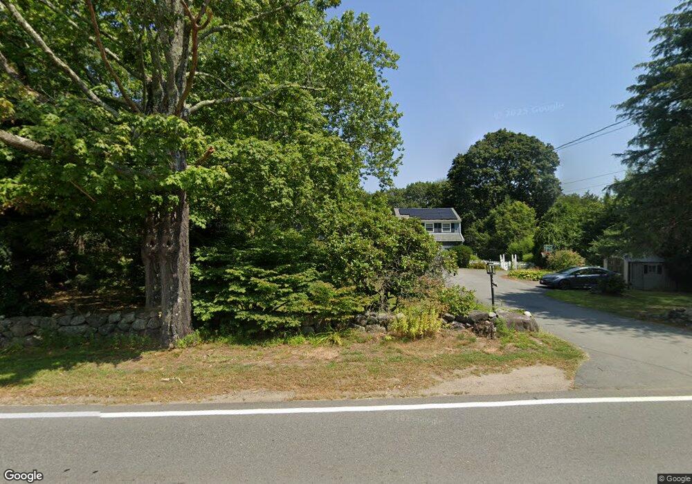
206 Topsfield Rd Wenham, MA 01984
Estimated Value: $888,000 - $1,136,000
3
Beds
3
Baths
2,620
Sq Ft
$381/Sq Ft
Est. Value
About This Home
This home is located at 206 Topsfield Rd, Wenham, MA 01984 and is currently estimated at $999,427, approximately $381 per square foot. 206 Topsfield Rd is a home located in Essex County with nearby schools including Winthrop School, Cutler Elementary School, and Miles River Middle School.
Ownership History
Date
Name
Owned For
Owner Type
Purchase Details
Closed on
Jan 25, 2016
Sold by
Bozarjian Robert D and Bozarjian Mary F
Bought by
Bozarjian Robert D and Bozarjian Mary F
Current Estimated Value
Home Financials for this Owner
Home Financials are based on the most recent Mortgage that was taken out on this home.
Original Mortgage
$362,150
Outstanding Balance
$288,980
Interest Rate
3.98%
Mortgage Type
New Conventional
Estimated Equity
$710,447
Purchase Details
Closed on
Jul 5, 2011
Sold by
Bozarjian Patricia A
Bought by
Bozarjian Robert D and Bozarjian Mary F
Purchase Details
Closed on
Oct 2, 2008
Sold by
Est Coughlin Helen F and King John G
Bought by
Bozarjian Patricia A
Home Financials for this Owner
Home Financials are based on the most recent Mortgage that was taken out on this home.
Original Mortgage
$280,700
Interest Rate
6.54%
Mortgage Type
Purchase Money Mortgage
Create a Home Valuation Report for This Property
The Home Valuation Report is an in-depth analysis detailing your home's value as well as a comparison with similar homes in the area
Home Values in the Area
Average Home Value in this Area
Purchase History
| Date | Buyer | Sale Price | Title Company |
|---|---|---|---|
| Bozarjian Robert D | -- | -- | |
| Bozarjian Robert D | -- | -- | |
| Bozarjian Patricia A | $401,000 | -- |
Source: Public Records
Mortgage History
| Date | Status | Borrower | Loan Amount |
|---|---|---|---|
| Open | Bozarjian Robert D | $362,150 | |
| Previous Owner | Bozarjian Patricia A | $270,475 | |
| Previous Owner | Bozarjian Patricia A | $280,700 |
Source: Public Records
Tax History Compared to Growth
Tax History
| Year | Tax Paid | Tax Assessment Tax Assessment Total Assessment is a certain percentage of the fair market value that is determined by local assessors to be the total taxable value of land and additions on the property. | Land | Improvement |
|---|---|---|---|---|
| 2025 | $12,455 | $801,500 | $423,100 | $378,400 |
| 2024 | $12,171 | $777,200 | $423,100 | $354,100 |
| 2023 | $14,022 | $808,200 | $435,100 | $373,100 |
| 2022 | $10,771 | $550,100 | $287,600 | $262,500 |
| 2021 | $10,320 | $524,400 | $261,900 | $262,500 |
| 2020 | $9,635 | $508,700 | $261,700 | $247,000 |
| 2019 | $9,167 | $508,700 | $261,700 | $247,000 |
| 2018 | $8,425 | $448,400 | $268,200 | $180,200 |
| 2017 | $8,216 | $448,200 | $268,200 | $180,000 |
| 2016 | $7,610 | $448,200 | $268,200 | $180,000 |
| 2015 | $7,283 | $448,200 | $268,200 | $180,000 |
Source: Public Records
Map
Nearby Homes
- 200 Topsfield Rd
- 203 Topsfield Rd
- 201 Topsfield Rd
- 198 Topsfield Rd
- 205 Topsfield Rd
- 207 Topsfield Rd
- 9 Daniels Rd
- 7 Daniels Rd
- 3 Conrad Cir
- 11 Daniels Rd
- 197 Topsfield Rd
- 194 Topsfield Rd
- 12B Conrad Cir
- 12A Conrad Cir
- 12A Conrad Cir
- 12B Conrad Cir
- 2 Conrad Cir
- 195 Topsfield Rd
- 5 Daniels Rd
- 13 Daniels Rd