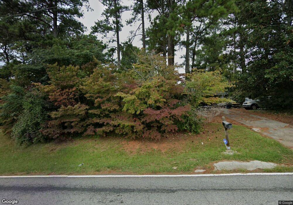
2060 Anderson Mill Rd Austell, GA 30106
Estimated Value: $236,000 - $287,000
3
Beds
2
Baths
1,156
Sq Ft
$224/Sq Ft
Est. Value
About This Home
This home is located at 2060 Anderson Mill Rd, Austell, GA 30106 and is currently estimated at $259,416, approximately $224 per square foot. 2060 Anderson Mill Rd is a home located in Cobb County with nearby schools including Deerwood Elementary School, Clarkdale Elementary School, and Garrett Middle School.
Ownership History
Date
Name
Owned For
Owner Type
Purchase Details
Closed on
Dec 7, 2011
Sold by
Federal Home Loan Mortgage Corporation
Bought by
Aguirre Elida V
Current Estimated Value
Purchase Details
Closed on
Mar 19, 1993
Sold by
Bellringer Properties Inc Tena
Bought by
Crenshaw Thomas B
Create a Home Valuation Report for This Property
The Home Valuation Report is an in-depth analysis detailing your home's value as well as a comparison with similar homes in the area
Home Values in the Area
Average Home Value in this Area
Purchase History
| Date | Buyer | Sale Price | Title Company |
|---|---|---|---|
| Aguirre Elida V | $27,000 | -- | |
| Crenshaw Thomas B | $78,000 | -- |
Source: Public Records
Mortgage History
| Date | Status | Borrower | Loan Amount |
|---|---|---|---|
| Closed | Crenshaw Thomas B | -- |
Source: Public Records
Tax History Compared to Growth
Tax History
| Year | Tax Paid | Tax Assessment Tax Assessment Total Assessment is a certain percentage of the fair market value that is determined by local assessors to be the total taxable value of land and additions on the property. | Land | Improvement |
|---|---|---|---|---|
| 2025 | $2,353 | $78,088 | $34,960 | $43,128 |
| 2024 | $2,354 | $78,088 | $34,960 | $43,128 |
| 2023 | $1,952 | $64,744 | $33,120 | $31,624 |
| 2022 | $1,630 | $53,704 | $22,080 | $31,624 |
| 2021 | $1,249 | $41,140 | $16,560 | $24,580 |
| 2020 | $1,249 | $41,140 | $16,560 | $24,580 |
| 2019 | $1,159 | $38,196 | $13,616 | $24,580 |
| 2018 | $1,068 | $35,200 | $12,512 | $22,688 |
| 2017 | $906 | $31,520 | $8,832 | $22,688 |
| 2016 | $906 | $31,520 | $8,832 | $22,688 |
| 2015 | $929 | $31,520 | $8,832 | $22,688 |
| 2014 | $760 | $25,580 | $0 | $0 |
Source: Public Records
Map
Nearby Homes
- 4280 Linworth Blvd
- 4268 Linworth Blvd
- 4262 Linworth Blvd
- 4236 Rhinehart Dr
- 2080 Anderson Mill Rd
- 4240 Rhinehart Dr
- 4232 Rhinehart Dr
- 4256 Linworth Blvd
- 2000 Chesley Dr
- 2068 Chesley Dr
- 4250 Linworth Blvd
- 4250 Linworth Blvd Unit 6
- 4228 Rhinehart Dr Unit 2
- 4370 Rhinehart Dr
- 2064 Chesley Dr
- 4277 Linworth Blvd
- 4271 Linworth Blvd
- 2014 Chesley Dr
- 2014 Chesley Dr Unit 50
- 2090 Anderson Mill Rd