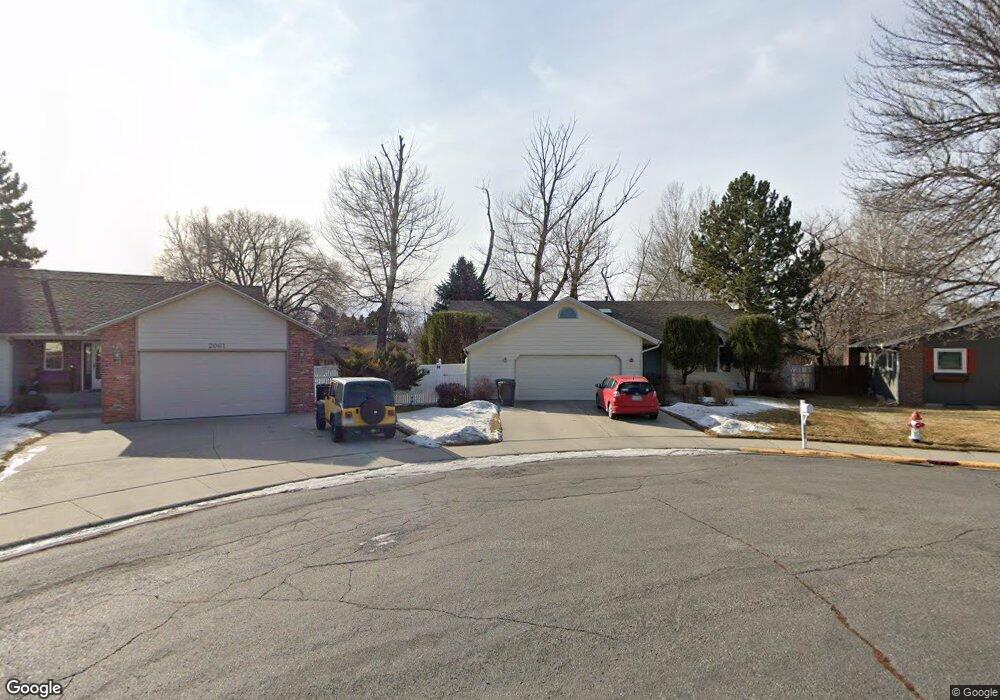
2060 Faye Cir Billings, MT 59102
North Central Billings NeighborhoodEstimated Value: $470,000 - $574,000
5
Beds
3
Baths
3,208
Sq Ft
$159/Sq Ft
Est. Value
About This Home
This home is located at 2060 Faye Cir, Billings, MT 59102 and is currently estimated at $509,752, approximately $158 per square foot. 2060 Faye Cir is a home located in Yellowstone County with nearby schools including Boulder School, Will James Junior High School, and Billings Senior High School.
Ownership History
Date
Name
Owned For
Owner Type
Purchase Details
Closed on
Jul 9, 2012
Sold by
Satterfield Calvin W and Satterfield Kathy M
Bought by
Mcrae Murdo William and Beishembieva Nurzhamal
Current Estimated Value
Home Financials for this Owner
Home Financials are based on the most recent Mortgage that was taken out on this home.
Original Mortgage
$50,000
Outstanding Balance
$34,628
Interest Rate
3.74%
Mortgage Type
New Conventional
Estimated Equity
$475,124
Purchase Details
Closed on
Feb 27, 2007
Sold by
Deines Robert L and Deines Nicole M
Bought by
Satterfield Calvin W and Satterfield Kathy M
Home Financials for this Owner
Home Financials are based on the most recent Mortgage that was taken out on this home.
Original Mortgage
$135,000
Interest Rate
6.21%
Mortgage Type
Purchase Money Mortgage
Create a Home Valuation Report for This Property
The Home Valuation Report is an in-depth analysis detailing your home's value as well as a comparison with similar homes in the area
Home Values in the Area
Average Home Value in this Area
Purchase History
| Date | Buyer | Sale Price | Title Company |
|---|---|---|---|
| Mcrae Murdo William | -- | None Available | |
| Satterfield Calvin W | -- | None Available |
Source: Public Records
Mortgage History
| Date | Status | Borrower | Loan Amount |
|---|---|---|---|
| Open | Mcrae Murdo William | $50,000 | |
| Previous Owner | Satterfield Calvin W | $135,000 | |
| Previous Owner | Satterfield Calvin W | $100,000 |
Source: Public Records
Tax History Compared to Growth
Tax History
| Year | Tax Paid | Tax Assessment Tax Assessment Total Assessment is a certain percentage of the fair market value that is determined by local assessors to be the total taxable value of land and additions on the property. | Land | Improvement |
|---|---|---|---|---|
| 2025 | $4,363 | $517,700 | $116,759 | $400,941 |
| 2024 | $4,363 | $451,500 | $104,330 | $347,170 |
| 2023 | $4,368 | $451,500 | $104,330 | $347,170 |
| 2022 | $3,432 | $363,500 | $0 | $0 |
| 2021 | $3,796 | $363,500 | $0 | $0 |
| 2020 | $3,900 | $358,900 | $0 | $0 |
| 2019 | $3,721 | $358,900 | $0 | $0 |
| 2018 | $3,776 | $358,500 | $0 | $0 |
| 2017 | $3,668 | $358,500 | $0 | $0 |
| 2016 | $3,349 | $330,100 | $0 | $0 |
| 2015 | $3,275 | $330,100 | $0 | $0 |
| 2014 | $3,153 | $169,494 | $0 | $0 |
Source: Public Records
Map
Nearby Homes
- 3033 Avenue F
- 0 Julianne Dr Unit 356457
- 2820 Boulder Ave
- 1820 Patricia Ln
- 1907 Patricia Ln
- 3107 Poly Dr
- 1825 28th St W
- 2516 Lyndale Ln
- 2717 Patricia Ln
- 1606 Golden Blvd
- 2420 Elizabeth St
- 1524 Golden Blvd
- 2510 Zimmerman Trail
- 2830 Arrowhead Meadows Dr
- 2060 Edgewood Dr
- 2903 Belvedere Dr
- 2624 Southridge Dr
- 3065 Gregory Dr W
- 2745 Zimmerman Trail
- 5915 Southridge Dr
- 2076 Faye Cir
- 2061 Faye Cir
- 3051 Parkhill Dr
- 3037 Parkhill Dr
- 2075 Hope Cir
- 3065 Parkhill Dr
- 2061 Hope Cir
- 2075 Faye Cir
- 3025 Parkhill Dr
- 2092 Faye Cir
- 3077 Parkhill Dr
- 2091 Faye Cir
- 3014 Colton Blvd
- 2091 Hope Cir
- 2016 Rehberg Ln
- 3091 Parkhill Dr
- 2070 Rehberg Ln
- 3050 Parkhill Dr
- 3015 Parkhill Dr
- 3036 Parkhill Dr