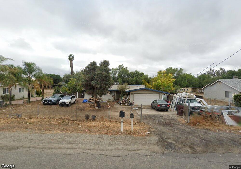
20635 Moore St Perris, CA 92570
Upton Acres NeighborhoodEstimated Value: $473,756 - $562,000
3
Beds
2
Baths
1,158
Sq Ft
$451/Sq Ft
Est. Value
About This Home
This home is located at 20635 Moore St, Perris, CA 92570 and is currently estimated at $522,439, approximately $451 per square foot. 20635 Moore St is a home located in Riverside County with nearby schools including Manuel L. Real Elementary School, Tomas Rivera Middle School, and Citrus Hill High School.
Ownership History
Date
Name
Owned For
Owner Type
Purchase Details
Closed on
Mar 29, 2016
Sold by
Villarreal Angelica
Bought by
Villarreal Calixto
Current Estimated Value
Home Financials for this Owner
Home Financials are based on the most recent Mortgage that was taken out on this home.
Original Mortgage
$90,000
Interest Rate
3.64%
Mortgage Type
New Conventional
Create a Home Valuation Report for This Property
The Home Valuation Report is an in-depth analysis detailing your home's value as well as a comparison with similar homes in the area
Home Values in the Area
Average Home Value in this Area
Purchase History
| Date | Buyer | Sale Price | Title Company |
|---|---|---|---|
| Villarreal Calixto | -- | Ticor Title Orange County Br |
Source: Public Records
Mortgage History
| Date | Status | Borrower | Loan Amount |
|---|---|---|---|
| Closed | Villarreal Calixto | $90,000 |
Source: Public Records
Tax History
| Year | Tax Paid | Tax Assessment Tax Assessment Total Assessment is a certain percentage of the fair market value that is determined by local assessors to be the total taxable value of land and additions on the property. | Land | Improvement |
|---|---|---|---|---|
| 2025 | $2,655 | $165,535 | $55,173 | $110,362 |
| 2023 | $2,655 | $159,110 | $53,032 | $106,078 |
| 2022 | $2,538 | $155,992 | $51,993 | $103,999 |
| 2021 | $2,481 | $152,934 | $50,974 | $101,960 |
| 2020 | $2,448 | $151,367 | $50,452 | $100,915 |
| 2019 | $2,304 | $148,400 | $49,463 | $98,937 |
| 2018 | $2,257 | $145,492 | $48,494 | $96,998 |
| 2017 | $2,225 | $142,641 | $47,544 | $95,097 |
| 2016 | $2,140 | $139,845 | $46,612 | $93,233 |
| 2015 | $1,804 | $137,747 | $45,913 | $91,834 |
| 2014 | $1,508 | $135,050 | $45,014 | $90,036 |
Source: Public Records
Map
Nearby Homes
- 20785 Burns St
- 20553 Hunter St
- 20521 Hunter St
- 20434 Myron St
- 20175 Souder St
- 21131 Martin St
- 21274 Cajalco Rd
- 21321 Cajalco Rd
- 0 Marquez Rd
- 21285 Kinney St
- 21402 Shortridge Ave
- 18740 Cable Ln
- 20646 Markham St
- 20243 Lee Rd
- 0 Old Elsinore Rd Unit DW25247795
- 19975 Heartwood Dr
- 20398 Bailly St
- 21725 Pinewood St
- 21701 Perry St
- 19128 Trail Ride Ct
Your Personal Tour Guide
Ask me questions while you tour the home.