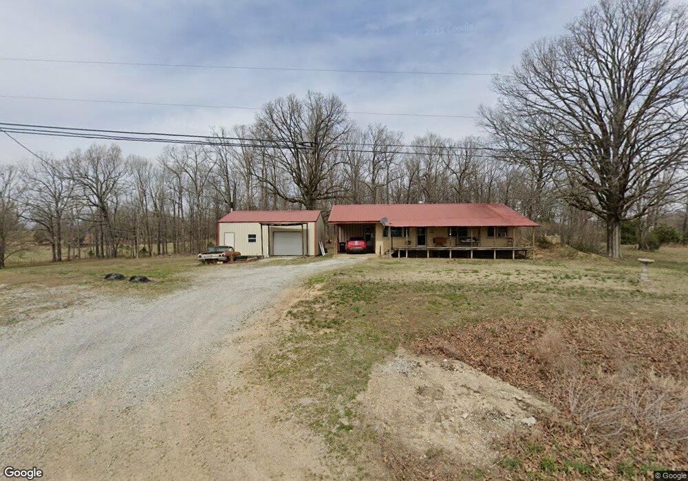
2064 Middlebrook Rd Maynard, AR 72444
Estimated Value: $98,716 - $209,000
Studio
2
Baths
1,216
Sq Ft
$115/Sq Ft
Est. Value
About This Home
This home is located at 2064 Middlebrook Rd, Maynard, AR 72444 and is currently estimated at $139,929, approximately $115 per square foot. 2064 Middlebrook Rd is a home located in Randolph County with nearby schools including Maynard Elementary School and Maynard High School.
Ownership History
Date
Name
Owned For
Owner Type
Purchase Details
Closed on
May 23, 2025
Sold by
Halliburton Grant L
Bought by
Halliburton Vickie C
Current Estimated Value
Purchase Details
Closed on
May 5, 2025
Sold by
Halliburton Vickie C
Bought by
Halliburton Grant Lee
Purchase Details
Closed on
Oct 29, 2013
Sold by
Dobbins Thommie D
Bought by
Halliburton Benny and Halliburton Vickie
Purchase Details
Closed on
Oct 6, 2006
Bought by
Hand To Dobbins
Purchase Details
Closed on
Aug 18, 2000
Bought by
Begy To Hand
Purchase Details
Closed on
Jan 1, 1989
Bought by
Begy Ray N and Begy Irene
Create a Home Valuation Report for This Property
The Home Valuation Report is an in-depth analysis detailing your home's value as well as a comparison with similar homes in the area
Purchase History
| Date | Buyer | Sale Price | Title Company |
|---|---|---|---|
| Halliburton Vickie C | -- | None Listed On Document | |
| Halliburton Vickie C | -- | None Listed On Document | |
| Halliburton Grant Lee | -- | None Listed On Document | |
| Halliburton Grant Lee | -- | None Listed On Document | |
| Halliburton Benny | $55,000 | -- | |
| Hand To Dobbins | $55,000 | -- | |
| Begy To Hand | $40,000 | -- | |
| Begy Ray N | $21,000 | -- |
Source: Public Records
Tax History
| Year | Tax Paid | Tax Assessment Tax Assessment Total Assessment is a certain percentage of the fair market value that is determined by local assessors to be the total taxable value of land and additions on the property. | Land | Improvement |
|---|---|---|---|---|
| 2025 | -- | $11,280 | $800 | $10,480 |
| 2024 | -- | $11,280 | $800 | $10,480 |
| 2023 | $34 | $11,280 | $800 | $10,480 |
| 2022 | $84 | $11,280 | $800 | $10,480 |
| 2021 | $84 | $11,280 | $800 | $10,480 |
| 2020 | $87 | $11,355 | $800 | $10,555 |
| 2019 | $76 | $11,355 | $800 | $10,555 |
| 2018 | $80 | $11,355 | $800 | $10,555 |
| 2017 | $59 | $10,045 | $400 | $9,645 |
| 2016 | $21 | $10,105 | $400 | $9,705 |
| 2015 | $21 | $10,105 | $400 | $9,705 |
| 2014 | $1 | $10,105 | $400 | $9,705 |
Source: Public Records
Map
Nearby Homes
- 13322 Arkansas 115
- 77 Mock St
- TBD Minorca Rd
- Tbd Minorca Rd Unit LotWP001
- 152 Lentz St
- 831 Ripley Ff-1
- 917 Hummingbird Trail
- 538 Fowler Rd
- 000 Carmickle Rd
- 449 Thompson Rd
- 70 Kenzie Trail
- 2814 Ripley N-2
- 0 Spring Bay Rd
- 380 Current River Trail
- 190 Current River Trail
- 41 County Road 1851
- 8771 Arkansas 115
- Lot 17 County Road 198
- Lot 15 County Road 198
- 64 Trails End Ln
- 1043 Middlebrook Rd Unit M-L
- 2120 Middlebrook Rd
- 89 Mile Rd
- 1878 Middlebrook Rd
- 2251 Middlebrook Rd
- 2041 Middlebrook Rd
- 271 Mile Rd
- 301 Mile Rd
- 2435 Middlebrook Rd
- 393 Mile Rd
- 458 Mile Rd
- 2486 Middlebrook Rd
- 1707 Northside Rd
- 1728 Northside Rd
- 1560 Middlebrook Rd
- 1665 Northside Rd
- 1542 Northside Rd
- 0 Ponds Ext Rd
- 2749 Middlebrook Rd
- 1307 Middlebrook Rd
Your Personal Tour Guide
Ask me questions while you tour the home.