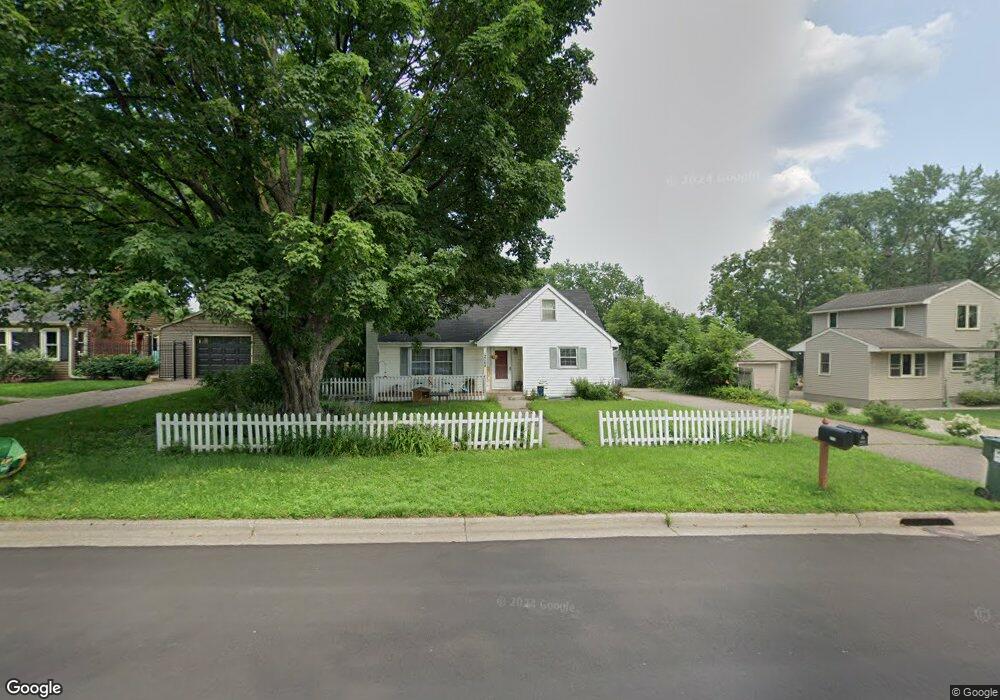
2064 William St Saint Paul, MN 55113
McCarrons NeighborhoodEstimated Value: $320,000 - $390,000
3
Beds
2
Baths
1,350
Sq Ft
$266/Sq Ft
Est. Value
About This Home
This home is located at 2064 William St, Saint Paul, MN 55113 and is currently estimated at $358,599, approximately $265 per square foot. 2064 William St is a home located in Ramsey County with nearby schools including Central Park Elementary School, Roseville Area Middle School, and Roseville Area Senior High School.
Ownership History
Date
Name
Owned For
Owner Type
Purchase Details
Closed on
Nov 8, 2018
Sold by
Montour Elizabeth M
Bought by
Starr Anthony L
Current Estimated Value
Home Financials for this Owner
Home Financials are based on the most recent Mortgage that was taken out on this home.
Original Mortgage
$144,000
Interest Rate
4.7%
Mortgage Type
Commercial
Create a Home Valuation Report for This Property
The Home Valuation Report is an in-depth analysis detailing your home's value as well as a comparison with similar homes in the area
Home Values in the Area
Average Home Value in this Area
Purchase History
| Date | Buyer | Sale Price | Title Company |
|---|---|---|---|
| Starr Anthony L | $180,000 | Land Title Inc |
Source: Public Records
Mortgage History
| Date | Status | Borrower | Loan Amount |
|---|---|---|---|
| Closed | Starr Anthony L | $144,000 |
Source: Public Records
Tax History Compared to Growth
Tax History
| Year | Tax Paid | Tax Assessment Tax Assessment Total Assessment is a certain percentage of the fair market value that is determined by local assessors to be the total taxable value of land and additions on the property. | Land | Improvement |
|---|---|---|---|---|
| 2025 | $4,690 | $359,000 | $100,000 | $259,000 |
| 2023 | $4,690 | $337,200 | $90,000 | $247,200 |
| 2022 | $4,006 | $300,900 | $90,000 | $210,900 |
| 2021 | $3,548 | $275,000 | $90,000 | $185,000 |
| 2020 | $3,192 | $262,700 | $80,000 | $182,700 |
| 2019 | $3,650 | $212,800 | $80,000 | $132,800 |
| 2018 | $3,434 | $247,900 | $82,300 | $165,600 |
| 2017 | $3,278 | $229,800 | $82,300 | $147,500 |
| 2016 | $2,948 | $0 | $0 | $0 |
| 2015 | $3,068 | $210,600 | $64,500 | $146,100 |
| 2014 | $2,584 | $0 | $0 | $0 |
Source: Public Records
Map
Nearby Homes
- 2039 Marion St
- 321 Elmer St
- 335 Burke Ave W
- 2099 Albemarle Ct N
- 201 McCarrons Place
- 1943 Rice St
- 2254 Western Ave N
- 482 Eldridge Ave W
- 420 McCarrons Blvd S
- 229 McCarrons Place
- 500 County Road B W Unit 309
- 230 McCarrons Place
- 1801 Western Ave N
- 518 Lovell Ave W Unit 2
- 2071 Dale St N
- 1825 Jackson St
- 707 Shryer Ave W
- 500 County Road B2 W
- 708 Skillman Ave W
- 254 Idaho Ave W
- 2066 William St
- 2058 William St
- 0 County Road B E Unit 6266024
- 0 Cumberland St Unit 6263631
- 2072 William St
- 2050 William St
- 2055 Marion St
- 2063 Marion St
- 2047 Marion St
- 2069 Marion St
- 2088 William St
- 2059 William St
- 2065 William St
- 2051 William St
- 2075 Marion St
- 249 Elmer St
- 2032 William St
- 2071 William St
- 2045 William St
- 2094 William St