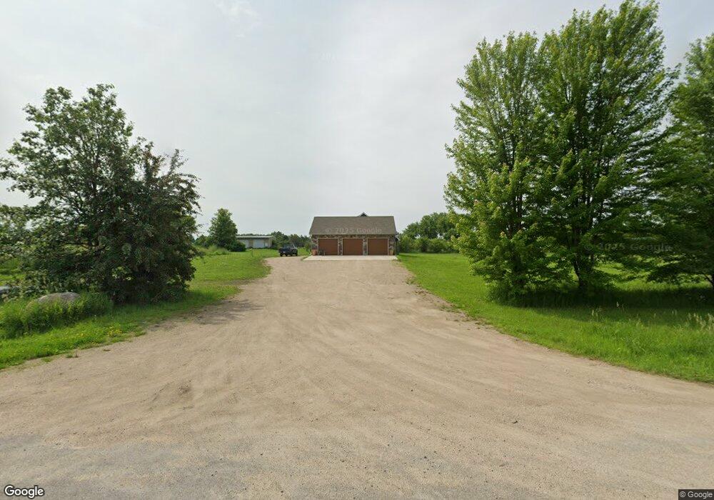
2065 Division St E Buffalo, MN 55313
Estimated Value: $634,000 - $723,266
3
Beds
2
Baths
3,004
Sq Ft
$229/Sq Ft
Est. Value
About This Home
This home is located at 2065 Division St E, Buffalo, MN 55313 and is currently estimated at $688,567, approximately $229 per square foot. 2065 Division St E is a home with nearby schools including Parkside Elementary School, Buffalo Community Middle School, and Buffalo Senior High School.
Ownership History
Date
Name
Owned For
Owner Type
Purchase Details
Closed on
Sep 9, 2016
Sold by
Pfeifer Property Management Llc
Bought by
Kramer Marilee Ann and Kramer Kristopher Ryan
Current Estimated Value
Purchase Details
Closed on
Sep 23, 2013
Sold by
Pfeifer Property Management Llc
Bought by
Kramer Marilee Ann and Kramer Kirstopher Ryan
Home Financials for this Owner
Home Financials are based on the most recent Mortgage that was taken out on this home.
Original Mortgage
$95,500
Interest Rate
5%
Mortgage Type
Land Contract Argmt. Of Sale
Purchase Details
Closed on
Feb 18, 2003
Sold by
Mccullough John R and Mccullough Deanne M
Bought by
Pfeifer Kent
Create a Home Valuation Report for This Property
The Home Valuation Report is an in-depth analysis detailing your home's value as well as a comparison with similar homes in the area
Home Values in the Area
Average Home Value in this Area
Purchase History
| Date | Buyer | Sale Price | Title Company |
|---|---|---|---|
| Kramer Marilee Ann | $100,000 | Northland Title | |
| Kramer Marilee Ann | $100,000 | -- | |
| Pfeifer Kent | $100,500 | -- |
Source: Public Records
Mortgage History
| Date | Status | Borrower | Loan Amount |
|---|---|---|---|
| Previous Owner | Kramer Marilee Ann | $95,500 |
Source: Public Records
Tax History
| Year | Tax Paid | Tax Assessment Tax Assessment Total Assessment is a certain percentage of the fair market value that is determined by local assessors to be the total taxable value of land and additions on the property. | Land | Improvement |
|---|---|---|---|---|
| 2025 | $6,350 | $665,300 | $230,300 | $435,000 |
| 2024 | $6,000 | $646,100 | $235,100 | $411,000 |
| 2023 | $5,856 | $655,900 | $235,100 | $420,800 |
| 2022 | $5,596 | $572,200 | $197,800 | $374,400 |
| 2021 | $5,518 | $509,300 | $161,000 | $348,300 |
| 2020 | $5,942 | $500,000 | $157,000 | $343,000 |
| 2019 | $5,270 | $505,200 | $0 | $0 |
| 2018 | $3,948 | $481,200 | $0 | $0 |
| 2017 | $1,516 | $372,600 | $0 | $0 |
| 2016 | $1,060 | $0 | $0 | $0 |
| 2015 | $948 | $0 | $0 | $0 |
| 2014 | -- | $0 | $0 | $0 |
Source: Public Records
Map
Nearby Homes
- 2584 County Road 33 SE
- 912 Harvest Trail
- 910 Harvest Trail
- 915 Harvest Trail
- 703 Erickson Ln
- 911 Harvest Trail
- 801 Hopkins Ln
- 907 Harvest Trail
- 905 Harvest Trail
- 1611 10th St NE
- 517 Buffalo Run Rd
- 1910 Buffalo Run Rd
- 335 Creekside Dr
- 316 Creekside Dr
- 308 Creekside Dr
- 609 Lake Blvd S
- 705 4th St S
- 2309 Buffalo Run Rd
- 406 4th St S
- 200 6th Ave S
- 188 Calder Ave SE
- 19 Calder Ave SE
- 2048 Division St E
- 222 Calder Ave SE
- 163 Calder Ave SE
- 84 Calder Ave NE
- 276 Calder Ave SE
- 44 Bradshaw Ave NE
- 263 Calder Ave SE
- 2329 Division St E
- 74 Bradshaw Ave NE
- 2096 5th St SE
- 108 Bradshaw Ave NE
- 2162 5th St SE
- 438 Calder Ave SE
- 2430 Division St E
- 196 Carling Ave SE
- 2254 5th St SE
- 2236 5th St SE
- 2157 5th St SE
Your Personal Tour Guide
Ask me questions while you tour the home.