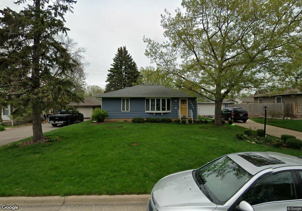
2065 Marble Ln Saint Paul, MN 55122
Estimated Value: $311,000 - $340,047
2
Beds
1
Bath
1,536
Sq Ft
$216/Sq Ft
Est. Value
About This Home
This home is located at 2065 Marble Ln, Saint Paul, MN 55122 and is currently estimated at $331,762, approximately $215 per square foot. 2065 Marble Ln is a home located in Dakota County with nearby schools including Burnsville High School, Gateway STEM Academy, and Sunrise International Montessori School.
Ownership History
Date
Name
Owned For
Owner Type
Purchase Details
Closed on
Jul 12, 2019
Sold by
Mclntyre Andrew S and Mclntyre Leslie S
Bought by
Borum Timthy and Paradee Bethany
Current Estimated Value
Home Financials for this Owner
Home Financials are based on the most recent Mortgage that was taken out on this home.
Original Mortgage
$202,640
Outstanding Balance
$177,531
Interest Rate
3.82%
Mortgage Type
New Conventional
Estimated Equity
$154,231
Purchase Details
Closed on
Apr 13, 2016
Sold by
Holt Sheldon Roger and Holt Betty L
Bought by
Mcintyre Andrew S and Mcintyre Leslie S
Home Financials for this Owner
Home Financials are based on the most recent Mortgage that was taken out on this home.
Original Mortgage
$187,815
Interest Rate
3.68%
Mortgage Type
New Conventional
Create a Home Valuation Report for This Property
The Home Valuation Report is an in-depth analysis detailing your home's value as well as a comparison with similar homes in the area
Home Values in the Area
Average Home Value in this Area
Purchase History
| Date | Buyer | Sale Price | Title Company |
|---|---|---|---|
| Borum Timthy | $253,300 | Trademark Title Services Inc | |
| Mcintyre Andrew S | $197,700 | Burnet Title |
Source: Public Records
Mortgage History
| Date | Status | Borrower | Loan Amount |
|---|---|---|---|
| Open | Borum Timthy | $202,640 | |
| Previous Owner | Mcintyre Andrew S | $187,815 |
Source: Public Records
Tax History Compared to Growth
Tax History
| Year | Tax Paid | Tax Assessment Tax Assessment Total Assessment is a certain percentage of the fair market value that is determined by local assessors to be the total taxable value of land and additions on the property. | Land | Improvement |
|---|---|---|---|---|
| 2024 | $3,026 | $320,000 | $86,600 | $233,400 |
| 2023 | $3,026 | $323,900 | $86,800 | $237,100 |
| 2022 | $2,572 | $312,000 | $86,600 | $225,400 |
| 2021 | $2,538 | $266,700 | $72,400 | $194,300 |
| 2020 | $2,614 | $249,200 | $69,000 | $180,200 |
| 2019 | $2,578 | $246,700 | $65,700 | $181,000 |
| 2018 | $2,393 | $234,300 | $62,600 | $171,700 |
| 2017 | $2,218 | $211,000 | $59,600 | $151,400 |
| 2016 | $2,204 | $197,100 | $56,700 | $140,400 |
| 2015 | $2,072 | $168,661 | $50,625 | $118,036 |
| 2014 | -- | $163,974 | $49,032 | $114,942 |
| 2013 | -- | $140,975 | $43,198 | $97,777 |
Source: Public Records
Map
Nearby Homes
- 4397 Onyx Dr
- 2081 Copper Ln
- 4370 Nicols Rd
- 2014 Diffley Rd
- 2115 Cliffview Dr
- 1942 Grant Alcove Unit 65
- 2123 Cliffhill Ln
- 1917 Jan Echo Trail
- 2079 Garnet Ln
- 1928 Glenfield Ct Unit 14
- 4130 Rahn Rd Unit B308
- 4130 Rahn Rd Unit B311
- 4130 Rahn Rd Unit 209
- 4155 Durham Ct Unit 61
- 1866 Bear Path Trail
- 4110 Rahn Rd Unit 109
- 4110 Rahn Rd Unit 304
- 4110 Rahn Rd Unit 315
- 4110 Rahn Rd Unit 312
- 4110 Rahn Rd Unit 215