Estimated Value: $1,747,000 - $2,627,059
3
Beds
3
Baths
2,708
Sq Ft
$808/Sq Ft
Est. Value
About This Home
This home is located at 20650 Harper Rd, Bend, OR 97703 and is currently estimated at $2,187,030, approximately $807 per square foot. 20650 Harper Rd is a home located in Deschutes County with nearby schools including Tumalo Community School, Obsidian Middle School, and Ridgeview High School.
Ownership History
Date
Name
Owned For
Owner Type
Purchase Details
Closed on
Oct 12, 2022
Sold by
Hawker Pointe Llc
Bought by
20650 Harper Rd Llc
Current Estimated Value
Purchase Details
Closed on
Oct 27, 2011
Sold by
Crawford Steven L and Crawford Cheryl R
Bought by
Hawker Pointe Llc
Create a Home Valuation Report for This Property
The Home Valuation Report is an in-depth analysis detailing your home's value as well as a comparison with similar homes in the area
Purchase History
We collect this data history from publicly available records. To have your information removed, we recommend requesting removal directly through your county’s website.
| Date | Buyer | Sale Price | Title Company |
|---|---|---|---|
| 20650 Harper Rd Llc | $2,850,000 | First American Title | |
| Hawker Pointe Llc | $1,825,000 | First American Title |
Source: Public Records
Tax History
| Year | Tax Paid | Tax Assessment Tax Assessment Total Assessment is a certain percentage of the fair market value that is determined by local assessors to be the total taxable value of land and additions on the property. | Land | Improvement |
|---|---|---|---|---|
| 2025 | $7,798 | $497,110 | -- | -- |
| 2024 | $7,463 | $483,020 | -- | -- |
| 2023 | $7,060 | $469,340 | $0 | $0 |
| 2022 | $6,501 | $443,160 | $0 | $0 |
| 2021 | $6,505 | $430,640 | $0 | $0 |
| 2020 | $6,189 | $430,640 | $0 | $0 |
| 2019 | $6,013 | $418,480 | $0 | $0 |
| 2018 | $5,875 | $406,680 | $0 | $0 |
| 2017 | $5,751 | $395,220 | $0 | $0 |
| 2016 | $5,542 | $384,095 | $0 | $0 |
| 2015 | $4,920 | $350,267 | $0 | $0 |
| 2014 | $4,211 | $298,798 | $0 | $0 |
Source: Public Records
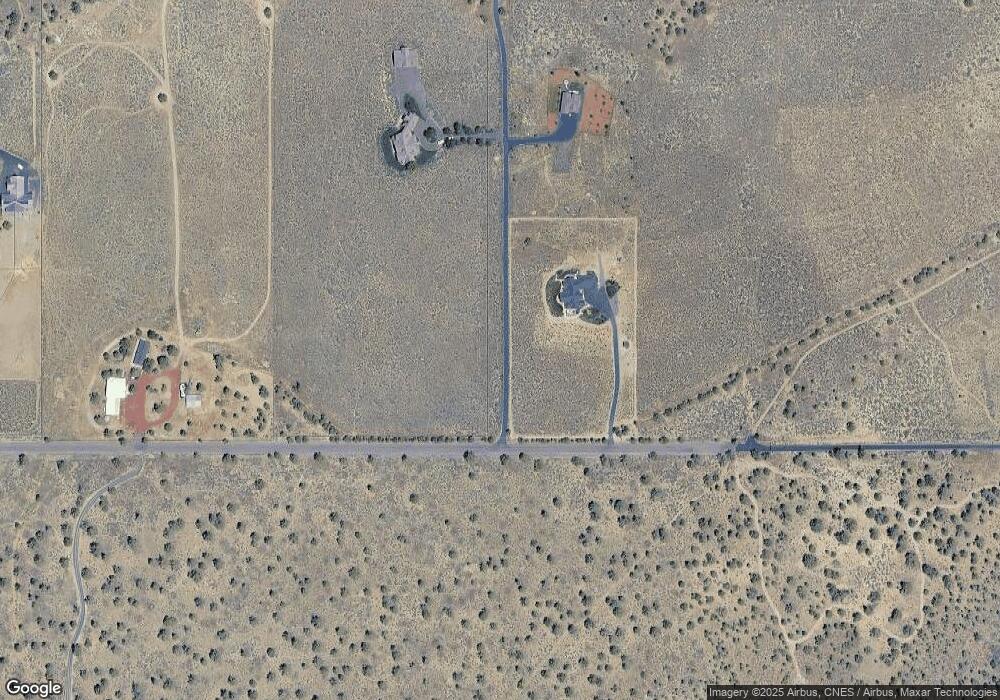
Map
Nearby Homes
- 20900 SW Young Ave
- 65799 SW 93rd St
- 21115 Young Ave
- 3375 SW 77th St
- 21298 SW Young Ave
- 21130 Arid Ave
- 20450 Arrowhead Dr
- 20420 Swalley Rd
- 20334 Arrowhead Dr
- 20350 Rock Canyon Rd
- 66215 Barr Rd
- 6175 SW Mcvey Ave Unit 1
- 65432 78th St
- 20985 Limestone Ave Unit 8
- 65450 76th St
- 65665 SW 61st St
- 21224 Limestone Ave
- 66355 Barr Rd
- 6425 SW Canal Blvd
- 5663 SW Impala Ave
- 20800 NW Harper Rd
- 20800 Harper Rd
- 20925 Harper Rd
- 20705 Harper Rd
- 20606 Harper Rd
- 20864 Young Ave
- 20612 Harper Rd
- 20600 Harper Rd
- 20750 Young Ave
- 20630 Harper Rd
- 20922 Young Ave
- 20928 Young Ave
- 20545 Harper Rd
- 20545 NW Harper Rd
- 20900 Young Ave
- 65995 93rd St
- 20550 Harper Rd
- 66005 93rd St
- 21030 Young Ave
- 21000 Young Ave
Your Personal Tour Guide
Ask me questions while you tour the home.