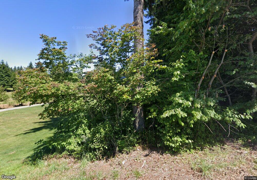
Estimated Value: $476,000 - $771,000
3
Beds
2
Baths
1,080
Sq Ft
$576/Sq Ft
Est. Value
About This Home
This home is located at 20650 SE Langensand Rd, Sandy, OR 97055 and is currently estimated at $621,978, approximately $575 per square foot. 20650 SE Langensand Rd is a home located in Clackamas County with nearby schools including Firwood Elementary School, Cedar Ridge Middle School, and Sandy High School.
Ownership History
Date
Name
Owned For
Owner Type
Purchase Details
Closed on
Sep 26, 2019
Sold by
Nickila Breanna H
Bought by
Nickila Breanna H and Dickinson Seth L
Current Estimated Value
Home Financials for this Owner
Home Financials are based on the most recent Mortgage that was taken out on this home.
Original Mortgage
$389,600
Outstanding Balance
$345,509
Interest Rate
4.12%
Mortgage Type
Small Business Administration
Estimated Equity
$276,469
Purchase Details
Closed on
Apr 11, 2014
Sold by
Aylsworth Ronald J and Aylsworth Gayle M
Bought by
Nickila Breanna H
Home Financials for this Owner
Home Financials are based on the most recent Mortgage that was taken out on this home.
Original Mortgage
$125,001
Interest Rate
4.32%
Mortgage Type
New Conventional
Create a Home Valuation Report for This Property
The Home Valuation Report is an in-depth analysis detailing your home's value as well as a comparison with similar homes in the area
Home Values in the Area
Average Home Value in this Area
Purchase History
| Date | Buyer | Sale Price | Title Company |
|---|---|---|---|
| Nickila Breanna H | -- | Old Republic Title Co Of Or | |
| Nickila Breanna H | $215,000 | First American |
Source: Public Records
Mortgage History
| Date | Status | Borrower | Loan Amount |
|---|---|---|---|
| Open | Nickila Breanna H | $389,600 | |
| Previous Owner | Nickila Breanna H | $125,001 |
Source: Public Records
Tax History Compared to Growth
Tax History
| Year | Tax Paid | Tax Assessment Tax Assessment Total Assessment is a certain percentage of the fair market value that is determined by local assessors to be the total taxable value of land and additions on the property. | Land | Improvement |
|---|---|---|---|---|
| 2024 | $4,674 | $344,285 | -- | -- |
| 2023 | $4,674 | $334,258 | $0 | $0 |
| 2022 | $4,437 | $324,523 | $0 | $0 |
| 2021 | $4,280 | $315,071 | $0 | $0 |
| 2020 | $2,218 | $160,443 | $0 | $0 |
| 2019 | $2,329 | $164,522 | $0 | $0 |
| 2018 | $2,266 | $159,730 | $0 | $0 |
| 2017 | $2,216 | $155,078 | $0 | $0 |
| 2016 | $2,139 | $150,561 | $0 | $0 |
| 2015 | $2,080 | $146,176 | $0 | $0 |
| 2014 | $2,029 | $141,918 | $0 | $0 |
Source: Public Records
Map
Nearby Homes
- 40801 SE Trubel Rd
- 40133 SE Allgeier Rd
- 38859 Jerger St
- 22035 SE Firwood Rd
- 19017 Wellesley Ave
- 18712 Cloud Cap Ave
- 38409 Juniper St
- 18653 Van Fleet Ave
- 39584 Wall St
- 19257 Oak Ave
- 18461 Meadow Ave
- 41865 Deschutes Ave Unit 61
- 41800 Deschutes Ave Unit 86A
- 19005 Ochoco Ct Unit 65
- 18905 Crooked River St Unit 46
- 19025 Ochoco Ct Unit 67
- 19100 Ochoco Ct Unit Lot 70
- 41820 Deschutes Ave Unit Lot 85B
- The Wildcat Plan at Hoodview Heights
- The Rock Creek Plan at Hoodview Heights
- 20700 SE Langensand Rd
- 40264 SE Trubel Rdnew Price
- 40264 SE Trubel Rd
- 40362 SE Trubel Rd
- 20535 SE Langensand Rd
- 20714 SE Langensand Rd
- 40414 SE Trubel Rd
- 20450 SE Langensand Rd
- 40466 SE Trubel Rd
- 21020 SE Langensand Rd
- 40331 SE Trubel Rd
- 40050 SE Trubel Rd
- 40494 SE Trubel Rd
- 40425 SE Trubel Rd
- 21115 SE Langensand Rd
- 40555 SE Trubel Rd
- 20370 SE Langensand Rd
- 40445 SE Trubel Rd
- 40482 SE Trubel Rd
- 20695 SE Langensand Rd
