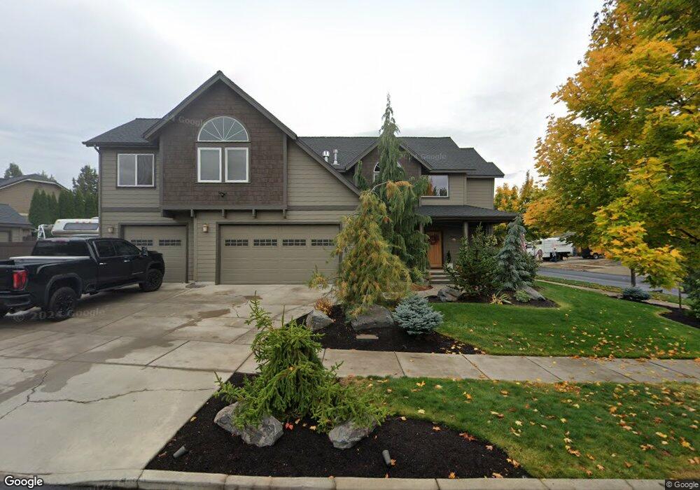
20655 Boulderfield Ave Bend, OR 97701
Boyd Acres NeighborhoodEstimated Value: $821,000 - $886,000
4
Beds
4
Baths
2,769
Sq Ft
$307/Sq Ft
Est. Value
About This Home
This home is located at 20655 Boulderfield Ave, Bend, OR 97701 and is currently estimated at $851,246, approximately $307 per square foot. 20655 Boulderfield Ave is a home located in Deschutes County with nearby schools including Lava Ridge Elementary School, Sky View Middle School, and Mountain View Senior High School.
Ownership History
Date
Name
Owned For
Owner Type
Purchase Details
Closed on
Nov 2, 2006
Sold by
Tyee Development Inc
Bought by
Ahern Brian D and Ahern Amanda M
Current Estimated Value
Home Financials for this Owner
Home Financials are based on the most recent Mortgage that was taken out on this home.
Original Mortgage
$363,580
Outstanding Balance
$214,633
Interest Rate
6.36%
Mortgage Type
Stand Alone First
Estimated Equity
$636,613
Create a Home Valuation Report for This Property
The Home Valuation Report is an in-depth analysis detailing your home's value as well as a comparison with similar homes in the area
Home Values in the Area
Average Home Value in this Area
Purchase History
| Date | Buyer | Sale Price | Title Company |
|---|---|---|---|
| Ahern Brian D | $454,475 | Amerititle |
Source: Public Records
Mortgage History
| Date | Status | Borrower | Loan Amount |
|---|---|---|---|
| Open | Ahern Brian D | $363,580 |
Source: Public Records
Tax History Compared to Growth
Tax History
| Year | Tax Paid | Tax Assessment Tax Assessment Total Assessment is a certain percentage of the fair market value that is determined by local assessors to be the total taxable value of land and additions on the property. | Land | Improvement |
|---|---|---|---|---|
| 2025 | $5,340 | $316,050 | -- | -- |
| 2024 | $5,138 | $306,850 | -- | -- |
| 2023 | $4,763 | $297,920 | $0 | $0 |
| 2022 | $4,444 | $280,830 | $0 | $0 |
| 2021 | $4,450 | $272,660 | $0 | $0 |
| 2020 | $4,222 | $272,660 | $0 | $0 |
| 2019 | $4,105 | $264,720 | $0 | $0 |
| 2018 | $3,989 | $257,010 | $0 | $0 |
| 2017 | $3,872 | $249,530 | $0 | $0 |
| 2016 | $3,692 | $242,270 | $0 | $0 |
| 2015 | $3,590 | $235,220 | $0 | $0 |
| 2014 | $3,484 | $228,370 | $0 | $0 |
Source: Public Records
Map
Nearby Homes
- 20663 NE Sierra Dr
- 63150 Peale St
- 63190 Carly Ln
- 20577 NE Sierra Dr
- 20560 Boyd Ct
- 20751 Boulderfield Ave
- 20585 Fred Meyers Rd
- 20570 Fred Meyers Rd
- 20532 NE Empire Ave
- 21072 NE High Desert Ln
- 20528 NE Empire Ave
- 20530 NE Empire Ave
- Avery Plan at Acadia Pointe
- Jade Plan at Acadia Pointe
- Hickory Plan at Acadia Pointe
- Larwood Plan at Acadia Pointe
- Magnolia Plan at Acadia Pointe
- Leverich Plan at Acadia Pointe
- Ashland Plan at Acadia Pointe
- Cypress Plan at Acadia Pointe
- 20661 Boulderfield Ave
- 63130 Turret Ct
- 20660 Boulderfield Ave
- 20654 NE Boulderfield
- 20667 Boulderfield Ave
- 20666 Boulderfield Ave
- 20666 NE Boulderfield Ave
- 20648 Boulderfield Ave
- 20672 Boulderfield Ave
- 20672 NE Boulderfield Ave
- 20673 Boulderfield Ave
- 63133 Turret Ct
- 20642 Boulderfield Ave
- 20642 NE Boulderfield
- 63124 Turret Ct
- 63129 Turret Ct
- 20659 Blanca Dr
- 20663 Blanca Dr
- 20669 Blanca Dr
- 63125 Turret Ct