2069 N Savannah Dr Safford, AZ 85546
Estimated Value: $393,123 - $429,000
4
Beds
2
Baths
1,890
Sq Ft
$217/Sq Ft
Est. Value
About This Home
This home is located at 2069 N Savannah Dr, Safford, AZ 85546 and is currently estimated at $411,031, approximately $217 per square foot. 2069 N Savannah Dr is a home located in Graham County with nearby schools including Ruth Powell Elementary School, Dorothy Stinson School, and Lafe Nelson School.
Ownership History
Date
Name
Owned For
Owner Type
Purchase Details
Closed on
Jan 7, 2025
Sold by
Lighthouse Shandy Llc
Bought by
Ferrin Chandler Brice and Ferrin Bethany
Current Estimated Value
Home Financials for this Owner
Home Financials are based on the most recent Mortgage that was taken out on this home.
Original Mortgage
$396,342
Interest Rate
7.04%
Mortgage Type
VA
Purchase Details
Closed on
Jan 31, 2022
Sold by
Ellerman Investments Llc
Bought by
Lighthouse Shandy Llc
Create a Home Valuation Report for This Property
The Home Valuation Report is an in-depth analysis detailing your home's value as well as a comparison with similar homes in the area
Home Values in the Area
Average Home Value in this Area
Purchase History
| Date | Buyer | Sale Price | Title Company |
|---|---|---|---|
| Ferrin Chandler Brice | $388,000 | Stewart Title & Trust Of Phoen | |
| Lighthouse Shandy Llc | $40,000 | Stewart Title & Trust Of Phoen | |
| Ellerman Investments Llc | -- | Stewart Title & Trust Of Phoen |
Source: Public Records
Mortgage History
| Date | Status | Borrower | Loan Amount |
|---|---|---|---|
| Previous Owner | Ferrin Chandler Brice | $396,342 |
Source: Public Records
Tax History Compared to Growth
Tax History
| Year | Tax Paid | Tax Assessment Tax Assessment Total Assessment is a certain percentage of the fair market value that is determined by local assessors to be the total taxable value of land and additions on the property. | Land | Improvement |
|---|---|---|---|---|
| 2026 | $169 | -- | -- | -- |
| 2025 | $169 | $2,306 | $2,306 | $0 |
| 2024 | $176 | $1,974 | $1,974 | $0 |
| 2023 | $176 | $1,697 | $1,697 | $0 |
| 2022 | $179 | $1,697 | $1,697 | $0 |
| 2021 | $190 | $0 | $0 | $0 |
| 2020 | $184 | $0 | $0 | $0 |
Source: Public Records
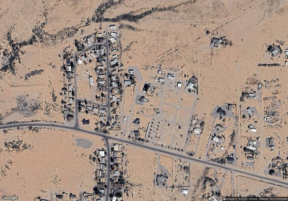
Map
Nearby Homes
- 2030 N Calle Montecito
- 329 E Calle Mesa Verde
- 257 E Walnut St
- 774 E Amber Ridge Rd
- 0 La Quinta Unit 1721031
- 0 N Branding Iron Ln Unit 11
- 1395 Skinner Ln
- 216 S 6th Ave
- 212 E 8th St
- 616 W 7th St
- 1552 Katelyn Ln
- 1104 S Central Ave
- 1551 Hobble Creek Dr
- 1204 S 1st Ave
- 1116 S 6th Ave
- 1210 S 1st Ave
- 1230 Coventry Dr
- 1101 S 9th Place
- 1108 S 9th Ave
- 1291 S Kelson Place
- 2083 N Savannah Dr
- 2009 N Savannah Dr
- 2059 N Calle Montecito
- 2073 N Calle Montecito
- 2041 N Calle Montecito
- 2089 N Calle Montecito
- 2031 N Calle Montecito
- 2017 N Calle Montecito
- 2115 N Calle Montecito
- 390 E Calle Paloma
- 2090 N Calle Montecito
- 380 E Calle Paloma
- 391 E Calle Paloma
- 2012 N Calle Montecito
- 2016 N Calle Montecito
- 371 E Calle Paloma
- 652 E Airport Rd
- 351 E Calle Paloma
- 2111 Calle Mesa Verde
- 1957 N Sunset Blvd