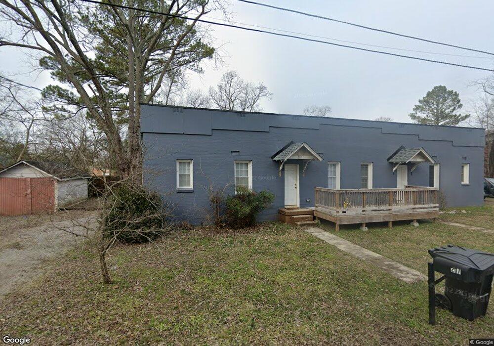
207 Airport Ave Unit 209 Murfreesboro, TN 37130
Estimated Value: $267,842 - $417,000
--
Bed
2
Baths
1,724
Sq Ft
$201/Sq Ft
Est. Value
About This Home
This home is located at 207 Airport Ave Unit 209, Murfreesboro, TN 37130 and is currently estimated at $345,711, approximately $200 per square foot. 207 Airport Ave Unit 209 is a home located in Rutherford County with nearby schools including Hobgood Elementary School, Whitworth-Buchanan Middle School, and Oakland High School.
Ownership History
Date
Name
Owned For
Owner Type
Purchase Details
Closed on
Dec 3, 2004
Sold by
Jones Lee F
Bought by
Wesley Foundation
Current Estimated Value
Home Financials for this Owner
Home Financials are based on the most recent Mortgage that was taken out on this home.
Original Mortgage
$78,393
Outstanding Balance
$39,102
Interest Rate
5.67%
Estimated Equity
$306,609
Purchase Details
Closed on
Jan 17, 1997
Sold by
Farmer Thomas D
Bought by
Jones Lee F
Create a Home Valuation Report for This Property
The Home Valuation Report is an in-depth analysis detailing your home's value as well as a comparison with similar homes in the area
Home Values in the Area
Average Home Value in this Area
Purchase History
| Date | Buyer | Sale Price | Title Company |
|---|---|---|---|
| Wesley Foundation | $72,500 | -- | |
| Jones Lee F | -- | -- |
Source: Public Records
Mortgage History
| Date | Status | Borrower | Loan Amount |
|---|---|---|---|
| Open | Jones Lee F | $78,393 |
Source: Public Records
Tax History Compared to Growth
Tax History
| Year | Tax Paid | Tax Assessment Tax Assessment Total Assessment is a certain percentage of the fair market value that is determined by local assessors to be the total taxable value of land and additions on the property. | Land | Improvement |
|---|---|---|---|---|
| 2025 | $1,927 | $68,120 | $19,000 | $49,120 |
| 2024 | $1,927 | $68,120 | $19,000 | $49,120 |
| 2023 | $1,278 | $68,120 | $19,000 | $49,120 |
| 2022 | $1,101 | $68,120 | $19,000 | $49,120 |
| 2021 | $1,109 | $49,960 | $15,400 | $34,560 |
| 2020 | $1,109 | $49,960 | $15,400 | $34,560 |
| 2019 | $1,109 | $49,960 | $15,400 | $34,560 |
| 2018 | $1,523 | $49,960 | $0 | $0 |
| 2017 | $1,637 | $42,120 | $0 | $0 |
| 2016 | $1,637 | $42,120 | $0 | $0 |
| 2015 | $1,637 | $42,120 | $0 | $0 |
| 2014 | $1,047 | $42,120 | $0 | $0 |
| 2013 | -- | $37,400 | $0 | $0 |
Source: Public Records
Map
Nearby Homes
- 1700 E Main St
- 1430 E Main St
- 105 4th Ave Unit 105
- 105 4th Ave
- Elder Plan at Richland Downs
- Cedar Plan at Richland Downs
- Hazel Plan at Richland Downs
- 1301 Richland Place
- 313 Tyne Ave
- 2251 Middle Tennessee Blvd
- 1522 Dr Martin Luther King jr Blvd
- 1019 E Main St
- 411 Apollo Dr
- 212 1st Ave
- 825 E Vine St
- 1302 Dr Martin Luther King jr Blvd Unit 32
- 1302 Doctor Martin Luther King Jr B Unit 1
- 1302 Doctor Martin Luther King Jr B Unit 49
- 1302 Dr Martin Luther King Blvd Unit 26
- 828 E Castle St
- 1611 Elrod St
- 208 Airport Ave
- 210 Airport Ave
- 210 College Heights St
- 1607 Elrod St
- 1615 Elrod St
- 1615 Elrod St Unit B
- 214 Airport Ave Unit 218
- 0 Elrod St
- 1603 Elrod St
- 1610 Elrod St
- 203 Womack Ln
- 1614 Elrod St
- 215 Womack Ln
- 1602 Elrod St
- 1511 Elrod St
- 1618 Elrod St
- 207 College Heights St
- 211 College Heights St
- 1509 Elrod St