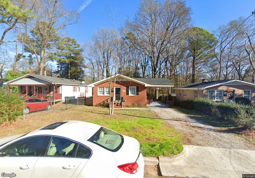
207 Bart St Raleigh, NC 27610
Battery Heights NeighborhoodEstimated Value: $313,789 - $409,000
3
Beds
1
Bath
1,000
Sq Ft
$361/Sq Ft
Est. Value
About This Home
This home is located at 207 Bart St, Raleigh, NC 27610 and is currently estimated at $360,947, approximately $360 per square foot. 207 Bart St is a home located in Wake County with nearby schools including Central Wake High School.
Ownership History
Date
Name
Owned For
Owner Type
Purchase Details
Closed on
Jul 13, 2001
Sold by
Va
Bought by
Davis Howard L
Current Estimated Value
Home Financials for this Owner
Home Financials are based on the most recent Mortgage that was taken out on this home.
Original Mortgage
$69,000
Outstanding Balance
$26,320
Interest Rate
7%
Mortgage Type
Seller Take Back
Estimated Equity
$334,627
Purchase Details
Closed on
May 4, 2001
Sold by
Lunsford Billy E and Lunsford Esther I
Bought by
Va
Purchase Details
Closed on
Aug 1, 1981
Bought by
Davis Howard L
Create a Home Valuation Report for This Property
The Home Valuation Report is an in-depth analysis detailing your home's value as well as a comparison with similar homes in the area
Home Values in the Area
Average Home Value in this Area
Purchase History
| Date | Buyer | Sale Price | Title Company |
|---|---|---|---|
| Davis Howard L | -- | -- | |
| Va | $60,458 | -- | |
| Davis Howard L | $34,500 | -- |
Source: Public Records
Mortgage History
| Date | Status | Borrower | Loan Amount |
|---|---|---|---|
| Open | Davis Howard L | $69,000 |
Source: Public Records
Tax History
| Year | Tax Paid | Tax Assessment Tax Assessment Total Assessment is a certain percentage of the fair market value that is determined by local assessors to be the total taxable value of land and additions on the property. | Land | Improvement |
|---|---|---|---|---|
| 2025 | $2,364 | $268,823 | $220,500 | $48,323 |
| 2024 | $2,355 | $268,823 | $220,500 | $48,323 |
Source: Public Records
Map
Nearby Homes
- 200 Lincoln Ct
- 1529 Battery Dr
- 15 Saint Augustine Ave
- 1208 Boyer St
- 214 S State St
- 216 S State St
- 1508 Boyer St
- 1510 Boyer St
- 305 Freeman St
- 1406 E Jones St
- 1612 Boyer St
- 1305 E Jones St
- 12 N Tarboro St
- 112 N Carver St
- 814 Postell St
- 1020 E Jones St
- 801 E Martin St Unit B
- 801 E Martin St Unit D
- 801 E Martin St Unit C
- 1420 E Lane St
- 209 Bart St
- 205 Bart St
- 1305 E Martin St
- 1306 E Hargett St
- 1305 Martin Dr
- 1309 E Martin St
- 217 Bart St
- 1312 E Hargett St
- 1302 E Hargett St
- 1313 E Martin St
- 312 Parrish St
- 302 Parrish St
- 1215 E Martin St
- 1317 E Martin St
- 1212 E Hargett St
- 206 Bart St
- 204 Bart St
- 208 Bart St
- 202 Bart St
- 1334 Martin Creek Dr
Your Personal Tour Guide
Ask me questions while you tour the home.