207 Dale St Wilton, NH 03086
Estimated Value: $585,000 - $797,000
4
Beds
3
Baths
3,090
Sq Ft
$220/Sq Ft
Est. Value
About This Home
This home is located at 207 Dale St, Wilton, NH 03086 and is currently estimated at $679,190, approximately $219 per square foot. 207 Dale St is a home located in Hillsborough County with nearby schools including Florence Rideout Elementary School, Wilton-Lyndeborough Cooperative Middle School, and Wilton-Lyndeborough Cooperative High School.
Ownership History
Date
Name
Owned For
Owner Type
Purchase Details
Closed on
Dec 26, 1996
Sold by
Bica John F and Bica Donna M
Bought by
Shea John F and Shea Mary Ann
Current Estimated Value
Home Financials for this Owner
Home Financials are based on the most recent Mortgage that was taken out on this home.
Original Mortgage
$152,600
Outstanding Balance
$16,272
Interest Rate
7.55%
Estimated Equity
$662,918
Create a Home Valuation Report for This Property
The Home Valuation Report is an in-depth analysis detailing your home's value as well as a comparison with similar homes in the area
Home Values in the Area
Average Home Value in this Area
Purchase History
| Date | Buyer | Sale Price | Title Company |
|---|---|---|---|
| Shea John F | $218,000 | -- |
Source: Public Records
Mortgage History
| Date | Status | Borrower | Loan Amount |
|---|---|---|---|
| Open | Shea John F | $152,600 |
Source: Public Records
Tax History Compared to Growth
Tax History
| Year | Tax Paid | Tax Assessment Tax Assessment Total Assessment is a certain percentage of the fair market value that is determined by local assessors to be the total taxable value of land and additions on the property. | Land | Improvement |
|---|---|---|---|---|
| 2024 | $12,450 | $500,600 | $126,200 | $374,400 |
| 2023 | $11,113 | $500,600 | $126,200 | $374,400 |
| 2022 | $10,342 | $500,600 | $126,200 | $374,400 |
| 2021 | $9,622 | $500,600 | $126,200 | $374,400 |
| 2020 | $9,522 | $324,000 | $93,400 | $230,600 |
| 2019 | $9,409 | $324,000 | $93,400 | $230,600 |
| 2018 | $9,318 | $324,000 | $93,400 | $230,600 |
| 2017 | $8,803 | $324,000 | $93,400 | $230,600 |
| 2016 | $8,534 | $324,000 | $93,400 | $230,600 |
| 2015 | $8,592 | $326,200 | $100,200 | $226,000 |
| 2014 | $8,416 | $326,200 | $100,200 | $226,000 |
| 2013 | $8,488 | $326,200 | $100,200 | $226,000 |
Source: Public Records
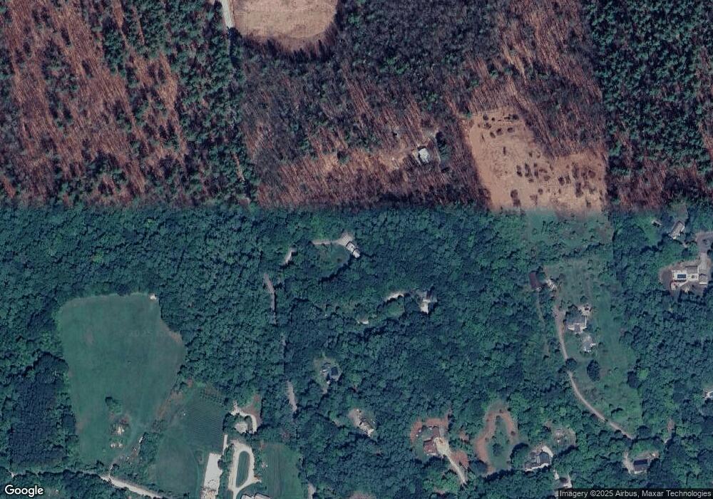
Map
Nearby Homes
- 10 Mill St
- 27 Island St
- 8 Maple St
- 134 Falcon Ridge Rd Unit 23
- 81 Abbot Hill Acres
- F/88-5 McGettigan Rd
- F/88-4 McGettigan Rd
- 88 McGettigan Rd Unit 88-6-1
- 24 Glass Factory Rd
- F-88-11 Aria Hill Dr
- F-88-12 Aria Hill Dr
- F-88-7 Aria Hill Dr
- F-88-10 Aria Hill Dr
- Lot F-88-9 Aria Hill Dr
- Lots 4 & 7 Gibbons & Robbins Rd
- A 66 Burton Hwy
- 0 Marden Rd
- 222 Forest Rd
- 545 Elm St Unit 34
- 59 Goldsmith Rd
- 199 Dale St
- Lot 21-5 Dale St
- 225 Dale St
- 193 Dale St
- 189 Dale St
- 172 Curtis Farm Rd
- 194 Curtis Farm Rd
- 158 Curtis Farm Rd
- 184 Curtis Farm Rd
- 0 Curtis Farm Rd Unit 4720849
- 0 Curtis Farm Rd Unit Lot 11
- 169 Curtis Farm Rd
- 163 Curtis Farm Rd
- 157 Curtis Farm Rd
- 189 Curtis Farm Rd
- 139 Curtis Farm Rd
- 19 Adams Dr
- 21 Adams Dr
- 201 Curtis Farm Rd
- 147 Dale St