Estimated Value: $309,000 - $867,232
Studio
2
Baths
1,804
Sq Ft
$326/Sq Ft
Est. Value
About This Home
This home is located at 207 Ferris Rd, Dixie, GA 31629 and is currently estimated at $588,116, approximately $326 per square foot. 207 Ferris Rd is a home located in Brooks County with nearby schools including Quitman Elementary School.
Ownership History
Date
Name
Owned For
Owner Type
Purchase Details
Closed on
May 16, 2008
Bought by
Conservation Use Covenant Recording
Current Estimated Value
Purchase Details
Closed on
Mar 26, 1999
Sold by
Commercial Bank
Bought by
Hutchinson John F and Hutchinson Ann E
Purchase Details
Closed on
May 12, 1997
Sold by
Simpson Roscoe H and Simpson Velma H
Bought by
Commercial Bank
Purchase Details
Closed on
Feb 26, 1982
Bought by
Simpson Roscoe H and Simpson Velma H
Create a Home Valuation Report for This Property
The Home Valuation Report is an in-depth analysis detailing your home's value as well as a comparison with similar homes in the area
Purchase History
| Date | Buyer | Sale Price | Title Company |
|---|---|---|---|
| Conservation Use Covenant Recording | -- | -- | |
| Hutchinson John F | $83,500 | -- | |
| Commercial Bank | -- | -- | |
| Simpson Roscoe H | $53,500 | -- |
Source: Public Records
Tax History
| Year | Tax Paid | Tax Assessment Tax Assessment Total Assessment is a certain percentage of the fair market value that is determined by local assessors to be the total taxable value of land and additions on the property. | Land | Improvement |
|---|---|---|---|---|
| 2025 | $3,473 | $234,000 | $140,840 | $93,160 |
| 2024 | $3,504 | $238,160 | $140,840 | $97,320 |
| 2023 | $2,705 | $206,652 | $121,600 | $85,052 |
| 2022 | $3,036 | $187,344 | $115,800 | $71,544 |
| 2021 | $2,919 | $162,244 | $93,360 | $68,884 |
| 2020 | $4,522 | $162,816 | $93,360 | $69,456 |
| 2019 | $2,787 | $147,508 | $80,320 | $67,188 |
| 2018 | $4,351 | $148,964 | $80,160 | $68,804 |
| 2017 | $2,617 | $146,404 | $80,160 | $66,244 |
| 2016 | $2,647 | $141,048 | $73,560 | $67,488 |
| 2015 | -- | $141,776 | $73,560 | $68,216 |
| 2014 | -- | $143,032 | $73,560 | $69,472 |
| 2013 | -- | $143,032 | $73,560 | $69,472 |
Source: Public Records
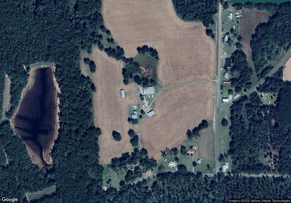
Map
Nearby Homes
- 2156 County Road 78
- 5199 U S 84
- 611 Bn S Main St
- 536 N Leaphart St
- 2815 Parker Rd
- Dixie Rd
- 612-BN W Railroad Ave
- 682 Salem Rd
- 146 Old Highway 84 W
- 9900 Ozell Rd
- 431 Dry Lake Rd
- 5036 Hamlin Rd
- 804 Westlake Dr
- 309 Eastlake Dr
- 0 Madison Hwy Unit Quitman GA
- 0 Madison Hwy Unit 147194
- 1001 W Bartow St
- 901 W Boundary St
- 0 W Swamp St
- Lot 14 Dawn Ln
- 2081 Grooverville Rd
- 2077 Grooverville Rd
- 176 Ferris Rd
- 1969 Grooverville Rd
- 364 Ferris Rd
- 278 Ferris Rd
- 381 County Road 78
- 7275 Livingston Rd
- 1567 Schmoe Rd
- 2369 Grooverville Rd
- 1567 Grooverville Rd
- 640 Cr 78
- 2474 Grooverville Rd
- 7240 Livingston Rd
- 1389 Grooverville Rd
- 650 County Road 78
- 1545 Grooverville Rd
- 2530 Grooverville Rd
- 684 County Road 78
- 1506 Grooverville Rd
Your Personal Tour Guide
Ask me questions while you tour the home.