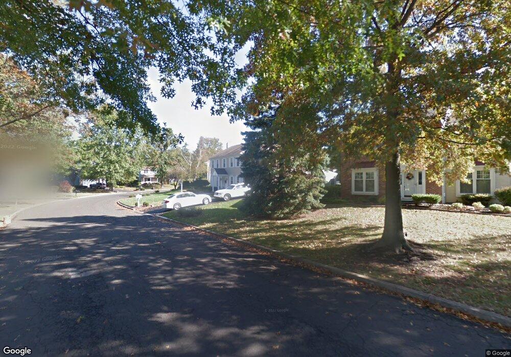
207 Forrest Dr Southampton, PA 18966
Estimated Value: $683,000 - $862,000
4
Beds
3
Baths
3,070
Sq Ft
$256/Sq Ft
Est. Value
About This Home
This home is located at 207 Forrest Dr, Southampton, PA 18966 and is currently estimated at $784,816, approximately $255 per square foot. 207 Forrest Dr is a home located in Bucks County with nearby schools including Hillcrest El School, Holland Middle School, and Council Rock High School - South.
Ownership History
Date
Name
Owned For
Owner Type
Purchase Details
Closed on
Aug 12, 1994
Sold by
Bott Walter S and Bott Donna J
Bought by
Valentine Lary W and Valentine Kathleen E
Current Estimated Value
Home Financials for this Owner
Home Financials are based on the most recent Mortgage that was taken out on this home.
Original Mortgage
$49,000
Interest Rate
8.38%
Purchase Details
Closed on
Jan 22, 1985
Bought by
Bott Walter S
Create a Home Valuation Report for This Property
The Home Valuation Report is an in-depth analysis detailing your home's value as well as a comparison with similar homes in the area
Home Values in the Area
Average Home Value in this Area
Purchase History
| Date | Buyer | Sale Price | Title Company |
|---|---|---|---|
| Valentine Lary W | $210,000 | -- | |
| Bott Walter S | $101,900 | -- |
Source: Public Records
Mortgage History
| Date | Status | Borrower | Loan Amount |
|---|---|---|---|
| Closed | Valentine Lary W | $49,000 |
Source: Public Records
Tax History Compared to Growth
Tax History
| Year | Tax Paid | Tax Assessment Tax Assessment Total Assessment is a certain percentage of the fair market value that is determined by local assessors to be the total taxable value of land and additions on the property. | Land | Improvement |
|---|---|---|---|---|
| 2025 | $9,991 | $51,870 | $6,080 | $45,790 |
| 2024 | $9,991 | $51,870 | $6,080 | $45,790 |
| 2023 | $9,416 | $51,870 | $6,080 | $45,790 |
| 2022 | $9,330 | $51,870 | $6,080 | $45,790 |
| 2021 | $9,035 | $51,870 | $6,080 | $45,790 |
| 2020 | $8,831 | $51,870 | $6,080 | $45,790 |
| 2019 | $8,453 | $51,870 | $6,080 | $45,790 |
| 2018 | $8,303 | $51,870 | $6,080 | $45,790 |
| 2017 | $7,983 | $51,870 | $6,080 | $45,790 |
| 2016 | $7,983 | $51,870 | $6,080 | $45,790 |
| 2015 | -- | $51,870 | $6,080 | $45,790 |
| 2014 | -- | $51,870 | $6,080 | $45,790 |
Source: Public Records
Map
Nearby Homes
- 41 Grant Dr
- 100 E Holland Rd
- 15 Penn Cir
- 6 Rolling Hills Dr
- 27 Rocking Horse Way
- 21019 Bennett Place Unit 7
- 6 Windy Knoll Dr
- 302 Independence Dr
- 24 Standing Tree Cir
- 178 Buckshire Dr
- 131 Rocksville Rd
- 270 Rocksville Rd
- 327 Hale Dr Unit 801A
- 151 Knox Ct
- 6 Springwood Place
- 139 Heather Valley Rd
- 52 Dalton Way
- 4 Providence Dr
- 29 Langhorne Ave
- 2010 Barry Ct Unit 743B
- 7 Crestview Dr
- 203 Forrest Dr
- 11 Crestview Dr
- 199 Forrest Dr
- 15 Crestview Dr
- 208 Forrest Dr
- 210 Forrest Dr
- 195 Forrest Dr
- 214 Forrest Dr
- 206 Forrest Dr
- 219 Forrest Dr
- 200 Forrest Dr
- 19 Crestview Dr
- 191 Forrest Dr
- 10 Crestview Dr
- 192 Forrest Dr
- 218 Forrest Dr
- 188 Forrest Dr
- 14 Crestview Dr
- 21 Crestview Dr