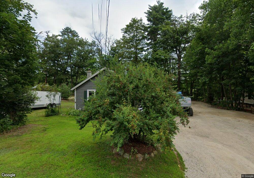
207 Hillside Ave Conway, NH 03818
Estimated Value: $278,000 - $312,000
2
Beds
1
Bath
980
Sq Ft
$301/Sq Ft
Est. Value
About This Home
This home is located at 207 Hillside Ave, Conway, NH 03818 and is currently estimated at $295,308, approximately $301 per square foot. 207 Hillside Ave is a home located in Carroll County with nearby schools including A. Crosby Kennett Middle School, Kennett High School, and Robert Frost Charter School.
Ownership History
Date
Name
Owned For
Owner Type
Purchase Details
Closed on
Jul 29, 2022
Sold by
Steele Thomas R
Bought by
Howland J Peter
Current Estimated Value
Home Financials for this Owner
Home Financials are based on the most recent Mortgage that was taken out on this home.
Original Mortgage
$150,000
Outstanding Balance
$143,149
Interest Rate
5.78%
Mortgage Type
Purchase Money Mortgage
Estimated Equity
$152,159
Purchase Details
Closed on
Jun 26, 1991
Bought by
Steele Thomas R
Create a Home Valuation Report for This Property
The Home Valuation Report is an in-depth analysis detailing your home's value as well as a comparison with similar homes in the area
Home Values in the Area
Average Home Value in this Area
Purchase History
| Date | Buyer | Sale Price | Title Company |
|---|---|---|---|
| Howland J Peter | $230,000 | None Available | |
| Steele Thomas R | -- | -- |
Source: Public Records
Mortgage History
| Date | Status | Borrower | Loan Amount |
|---|---|---|---|
| Open | Howland J Peter | $150,000 |
Source: Public Records
Tax History
| Year | Tax Paid | Tax Assessment Tax Assessment Total Assessment is a certain percentage of the fair market value that is determined by local assessors to be the total taxable value of land and additions on the property. | Land | Improvement |
|---|---|---|---|---|
| 2024 | $3,562 | $277,200 | $123,800 | $153,400 |
| 2023 | $3,271 | $274,400 | $123,800 | $150,600 |
| 2022 | $3,415 | $175,500 | $98,800 | $76,700 |
| 2021 | $2,868 | $175,500 | $98,800 | $76,700 |
| 2020 | $3,222 | $175,500 | $98,800 | $76,700 |
| 2019 | $3,040 | $175,500 | $98,800 | $76,700 |
| 2018 | $3,497 | $161,500 | $98,800 | $62,700 |
| 2017 | $3,227 | $161,500 | $98,800 | $62,700 |
| 2016 | $3,119 | $161,500 | $98,800 | $62,700 |
| 2015 | $3,083 | $161,500 | $98,800 | $62,700 |
| 2014 | $3,046 | $161,500 | $98,800 | $62,700 |
| 2013 | $3,334 | $186,700 | $118,800 | $67,900 |
Source: Public Records
Map
Nearby Homes
- 215 Hillside Ave
- 9 E Side Rd
- 6 Main St
- 76 Main St
- 196 E Main St Unit 5 (old 103)
- 260 E Main St
- 123 Oxbow Ln
- 27 Firelite Rd
- 43 Lamplighter's Dr
- 66 Lamplighter's Dr
- 74 Lamplighter's Dr
- 15 Trailer Ave
- 65 Westwind Dr
- 26 Campfire St
- 357 Lamplighters Dr
- 15 Lighthouse Ln
- 106 Fairview Ave
- 64 Grandview Rd
- 68 Grandview Rd
- 54 Woodland Grove Rd
- 201 Hillside Ave
- 206 Hillside Ave
- 193 Hillside Ave
- 222 Hillside Ave
- 476 W Side Rd
- 187 Hillside Ave
- 190 Hillside Ave
- 16 Muster Rd
- 30 Muster Rd
- 234 Hillside Ave
- 38 Muster Rd
- 174 Hillside Ave
- 27 Muster Rd
- 1 W Side Rd
- 52 Muster Rd
- 8 Hillside Ave
- 171 Hillside Ave
- 45 Muster Rd
- 29 Hillside Ave
- 142 Hillside Ave
Your Personal Tour Guide
Ask me questions while you tour the home.